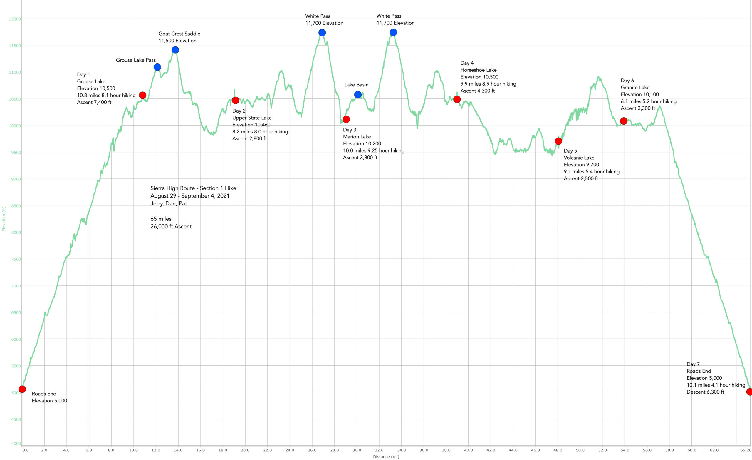
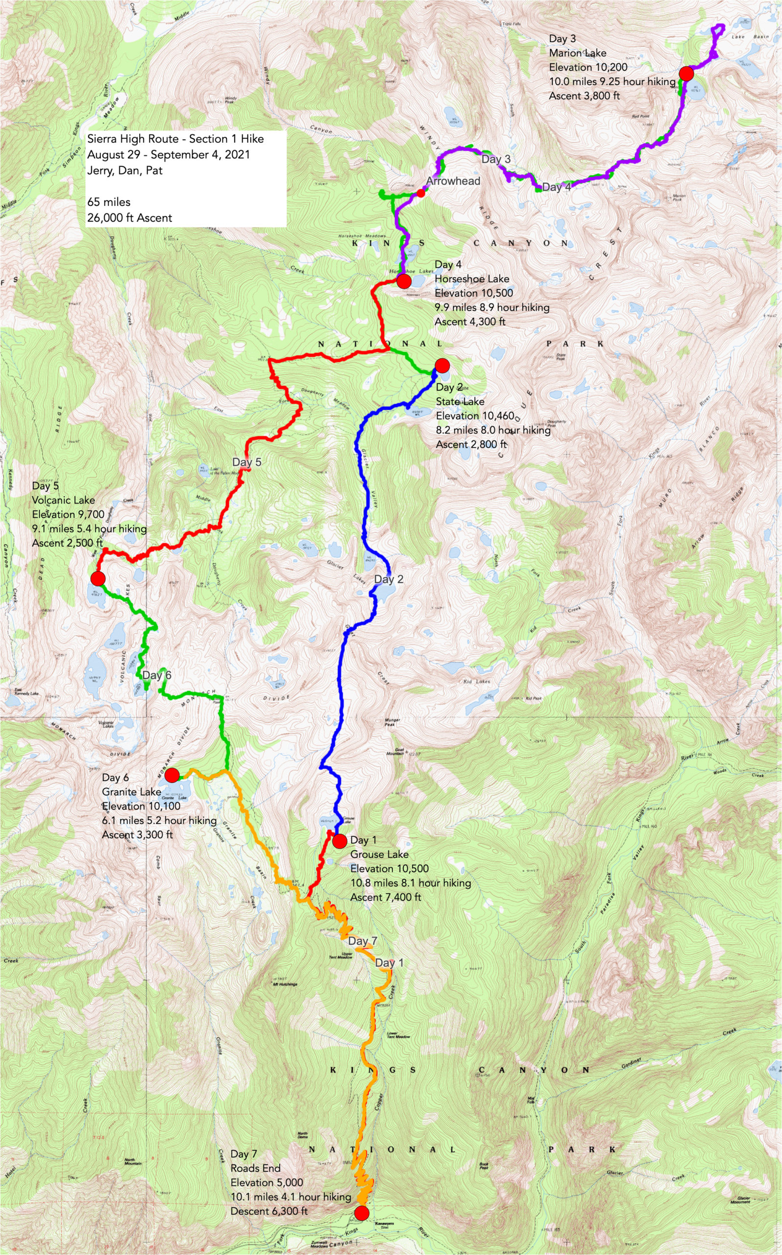
First Section of the Sierra High Route. We have almost completed the full Sierra High Route as outlined by Andrew Skurka – “A rugged 195-mile hike with over 100 miles of off-trail travel, through both idyllic sub-alpine forest and tedious talus fields.” – https://andrewskurka.com/adventures/sierra-high-route/
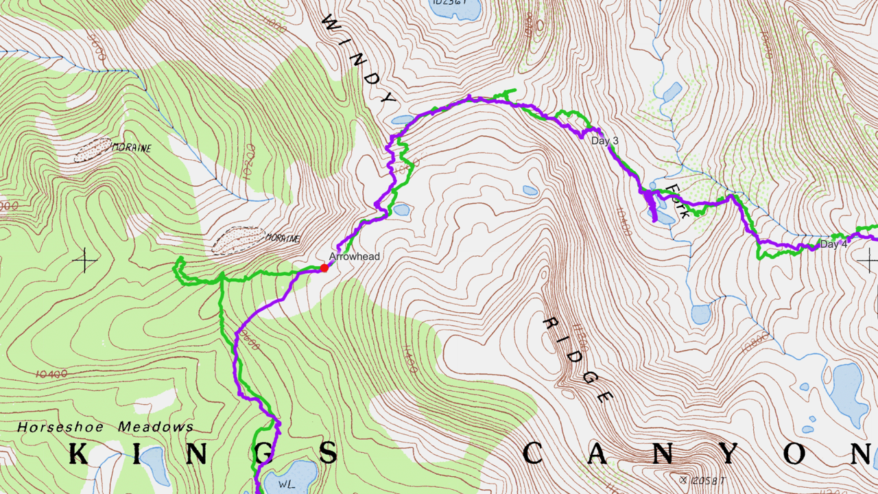
This was to complete the first section from Kings Canyon Road’s End to Lake Basin (which we already competed).
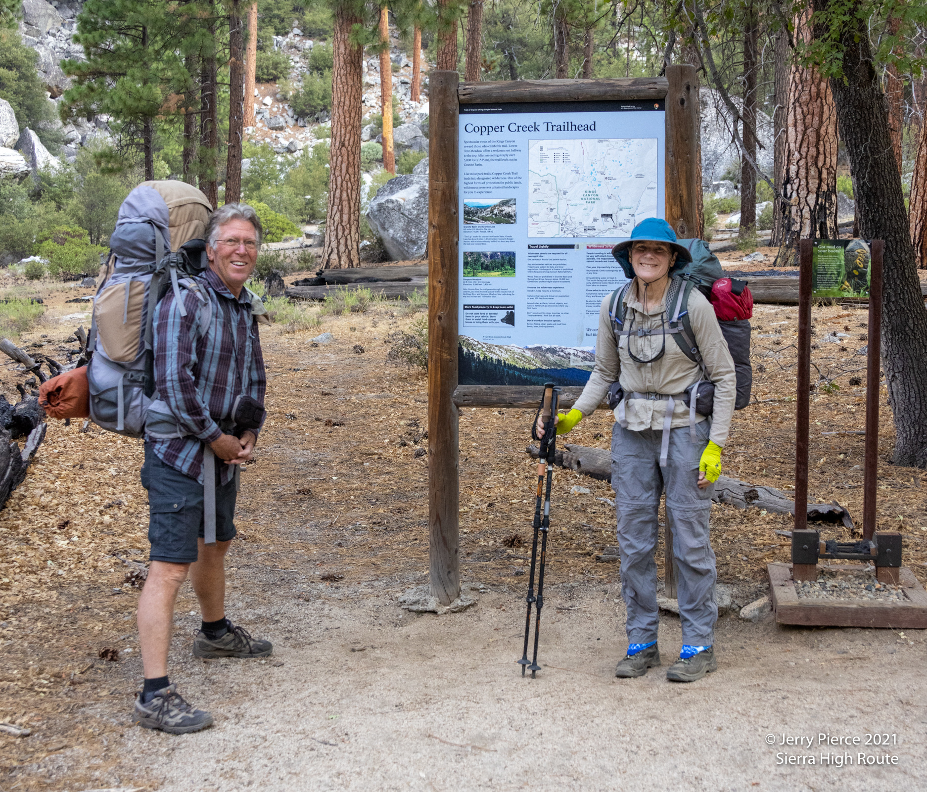
We spent the prior-to-hike night at Sentinel Campgrounds – about 5 miles from the Copper Creek Trailhead. Up early it was already warm (about 80?) at the trailhead. We knew the first day would be the “killer.” It was. The first day was going to be 6,000+ of vertical (ended up being over 7,400′) and about 10 miles, including off trail.
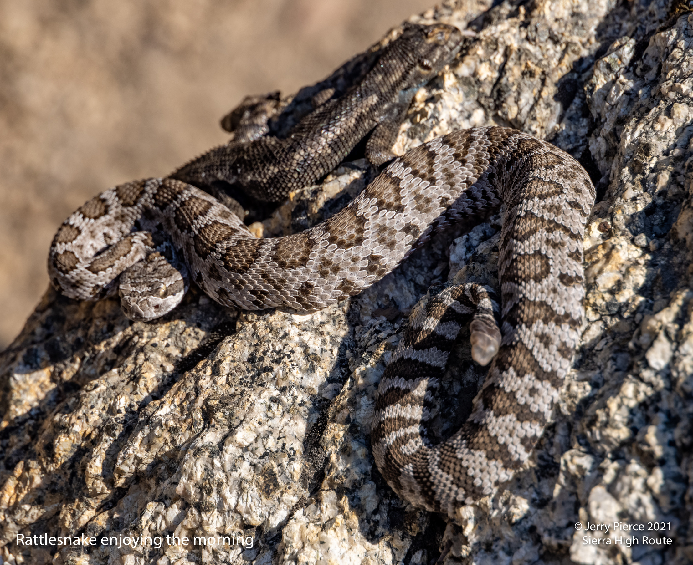
Were we surprised when we met a young rattle snake basking and protecting his lizard meal (yes, and rattling as we approached)? No we were not.
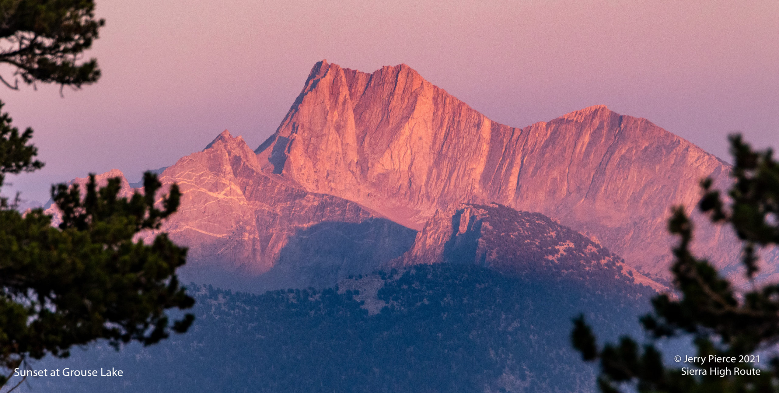
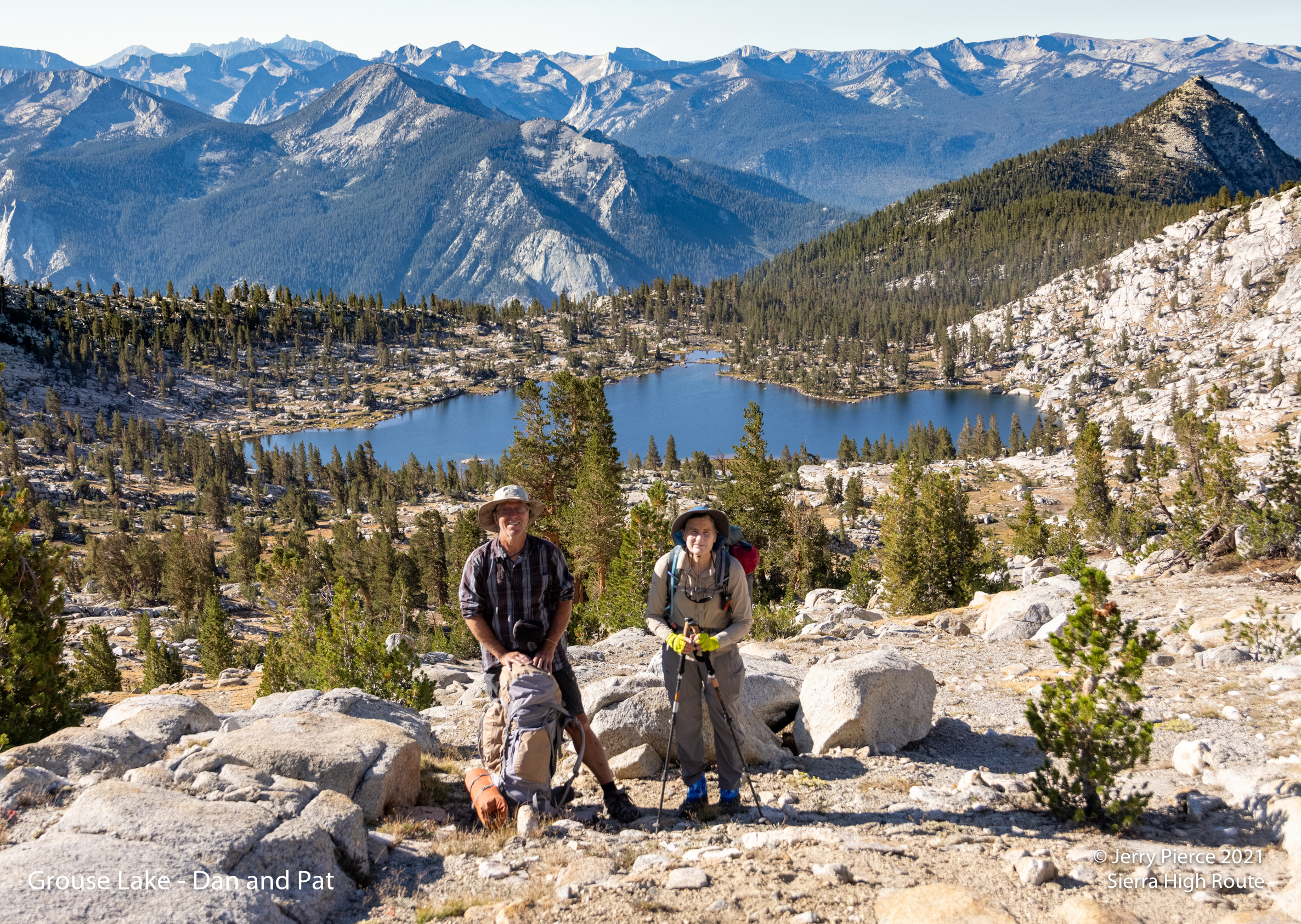
The hike got cooler as we went up. Finally arriving at our favorite campsite above Grouse Lake. We even saw some Grouse birds in nearby trees! It was hazy due to California fires, but by morning it was clear again!
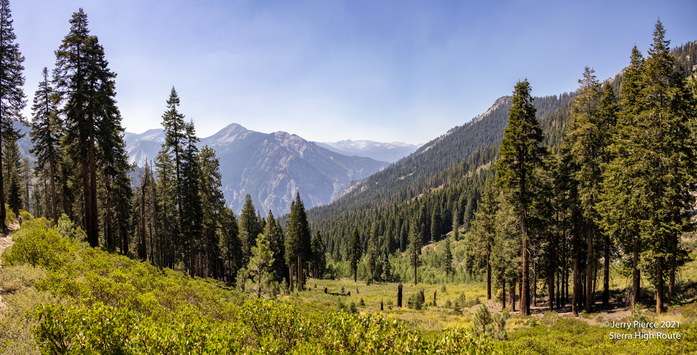
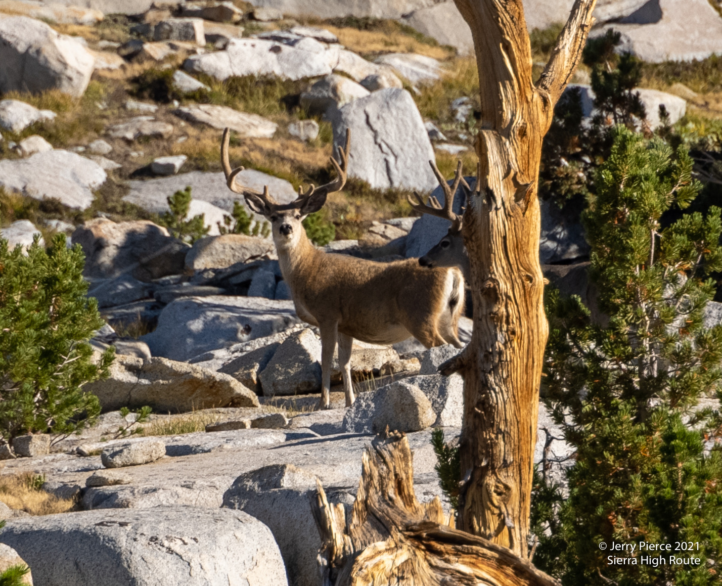
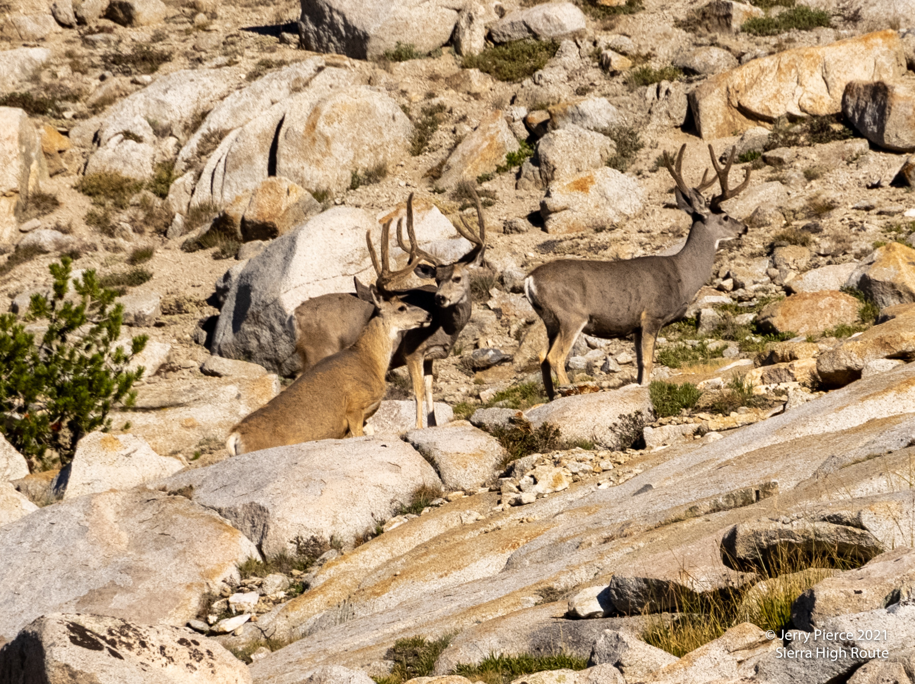
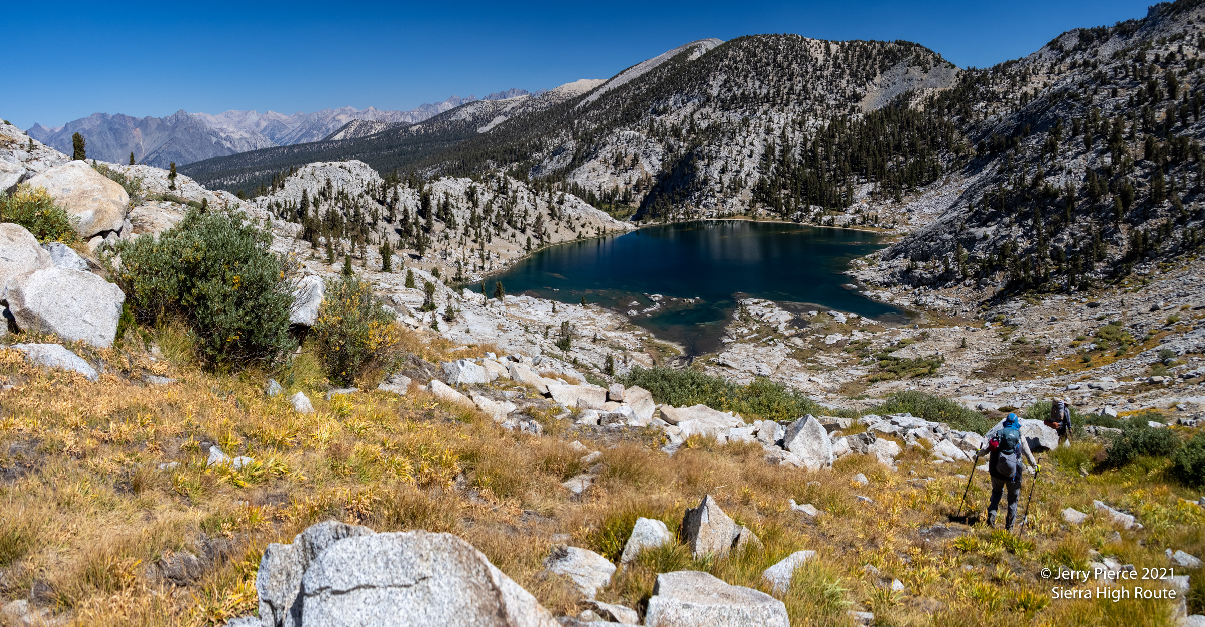
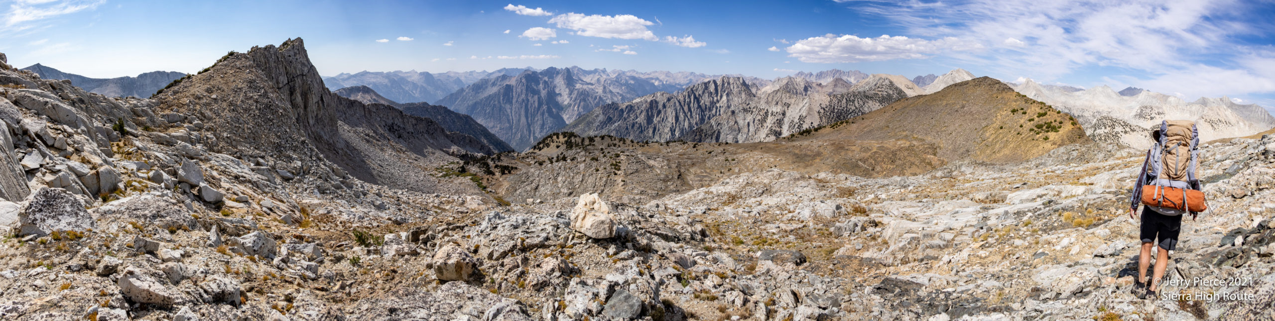
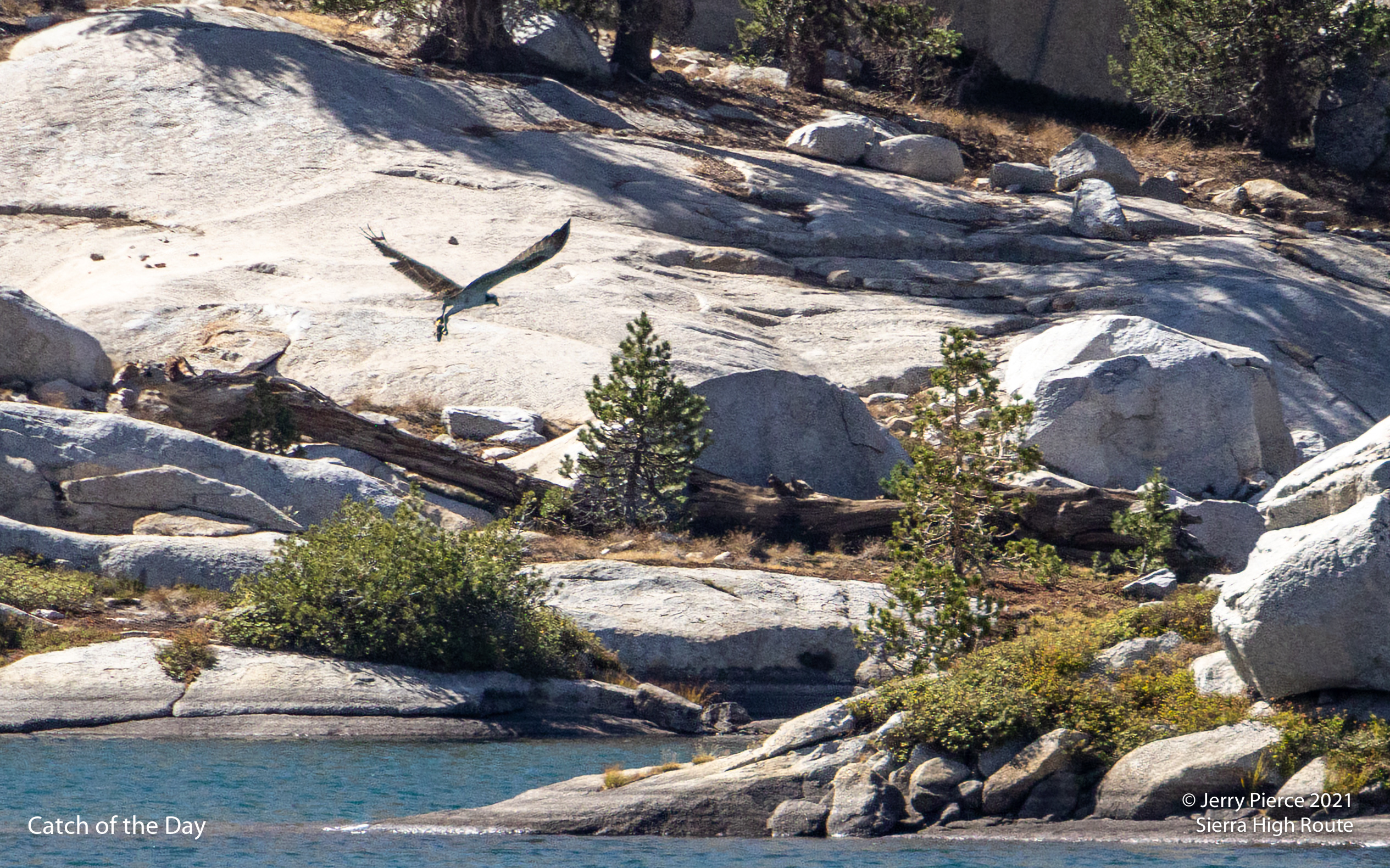
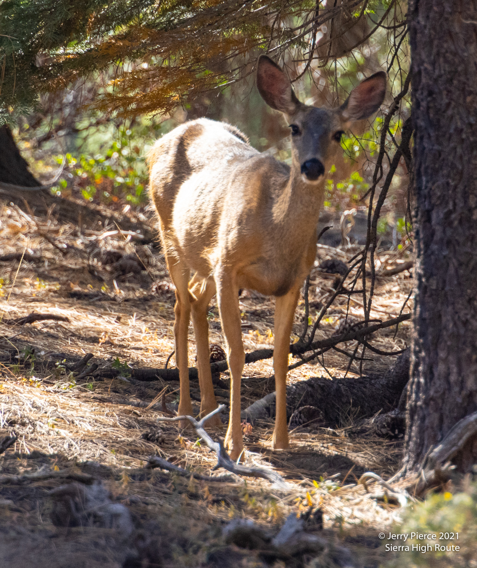
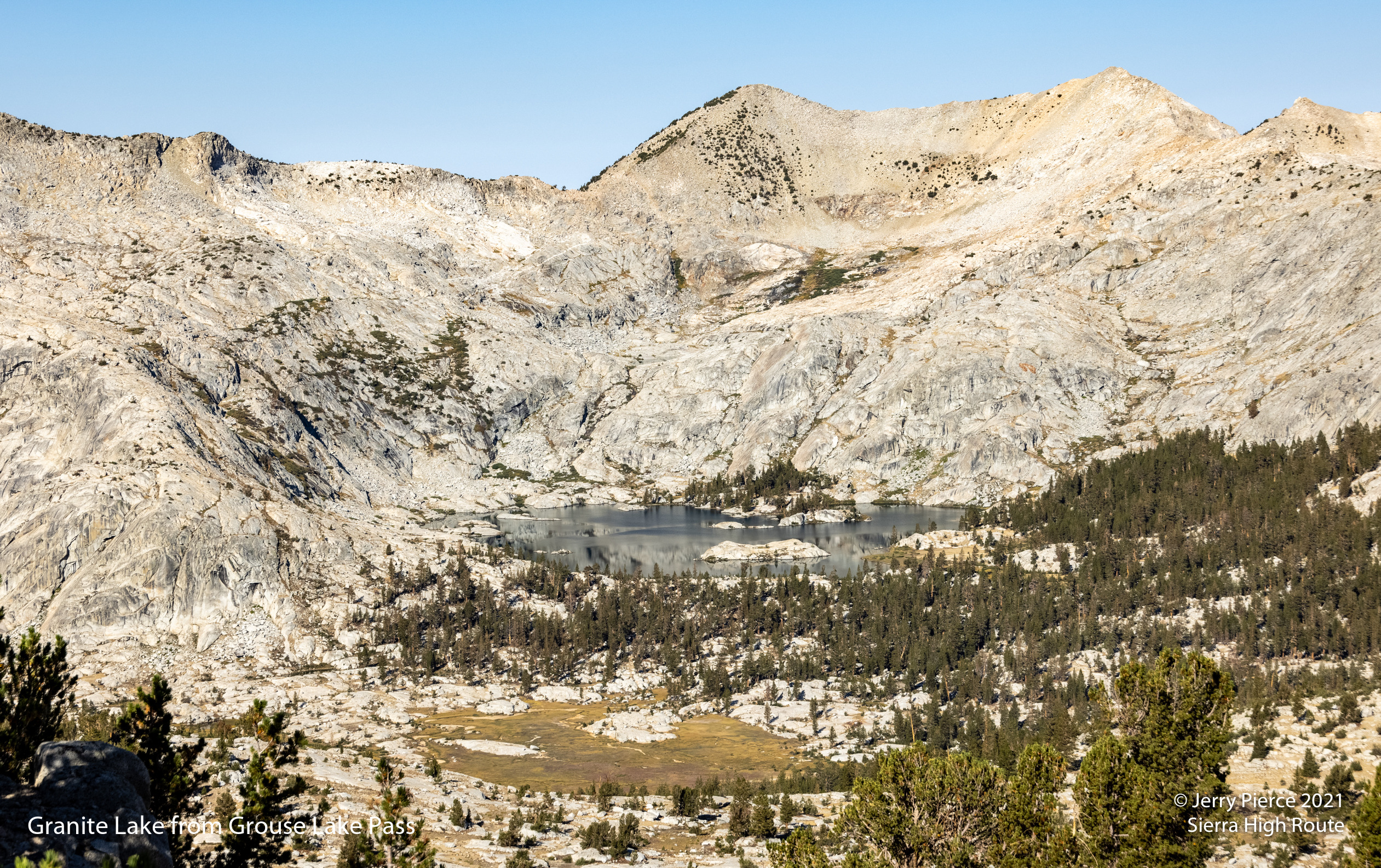
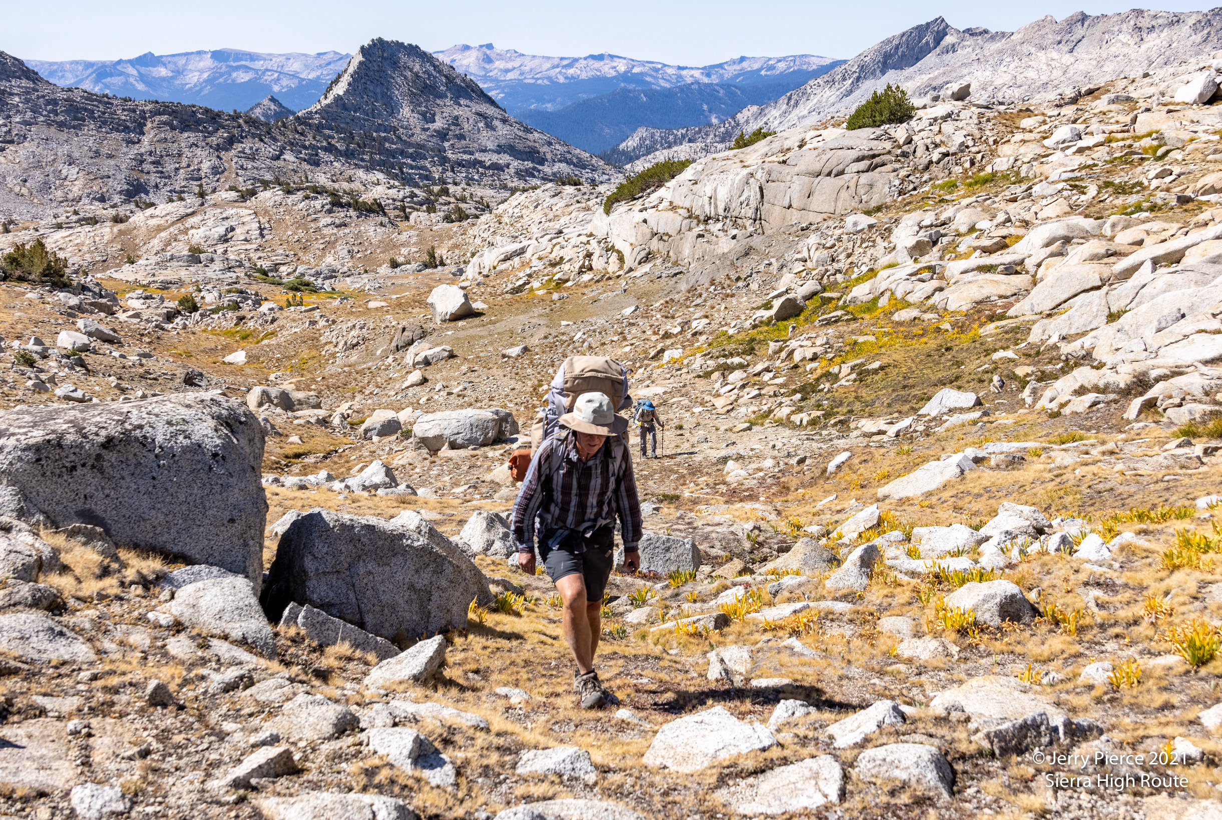
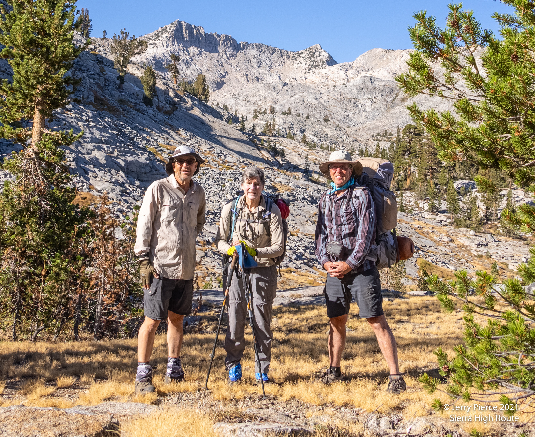
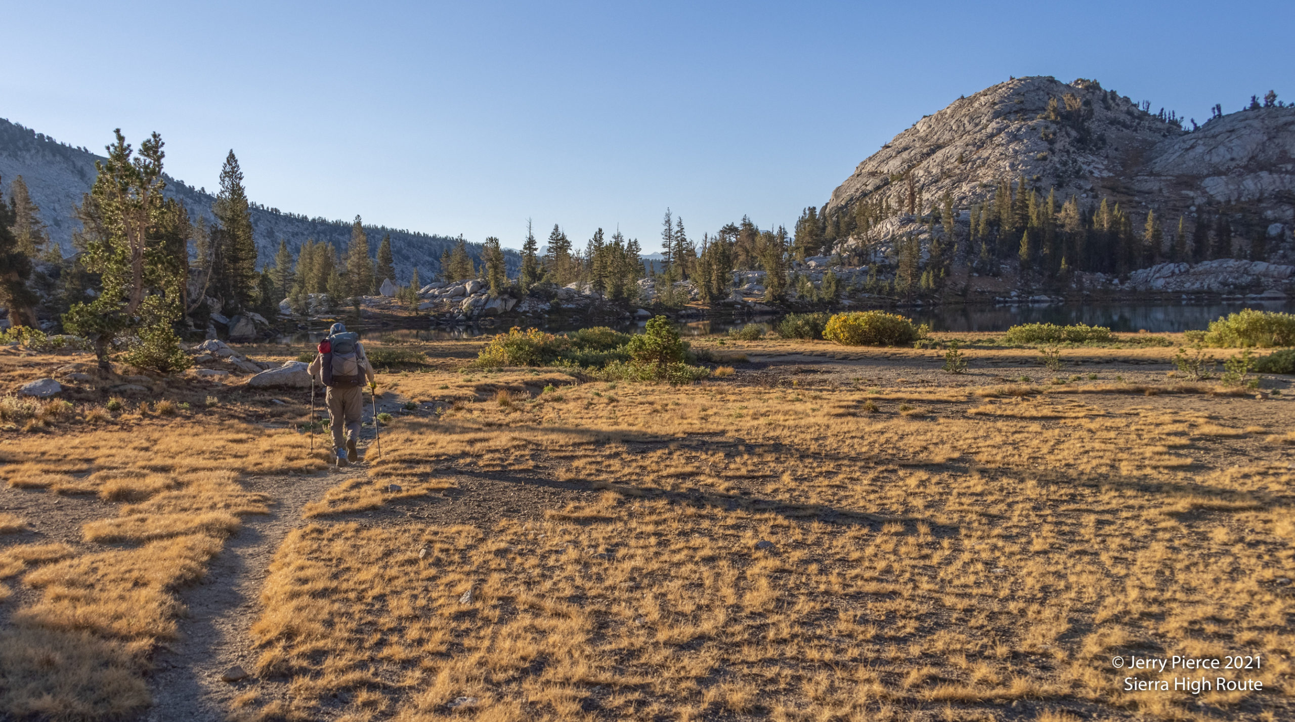
Off the next morning off trail headed north-ish. First over Grouse Lake Pass – an easy pass. There were three bucks on the approach to the pass that kept watching us, eating, watching – repeat. You can see the air is clear again! Then over Goat Crest Saddle (another easy pass) and down to Glacier Lakes for a walk-by.
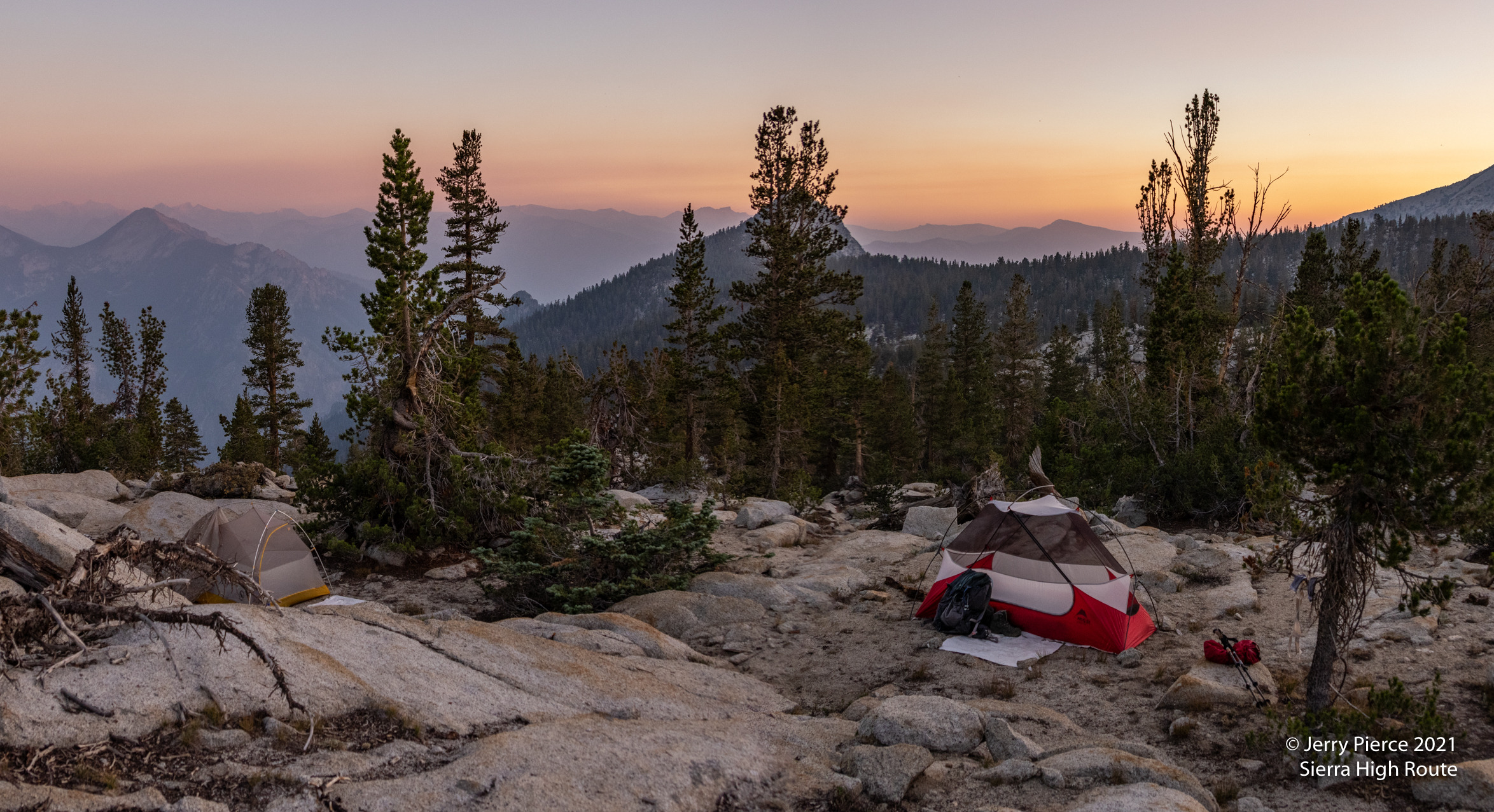
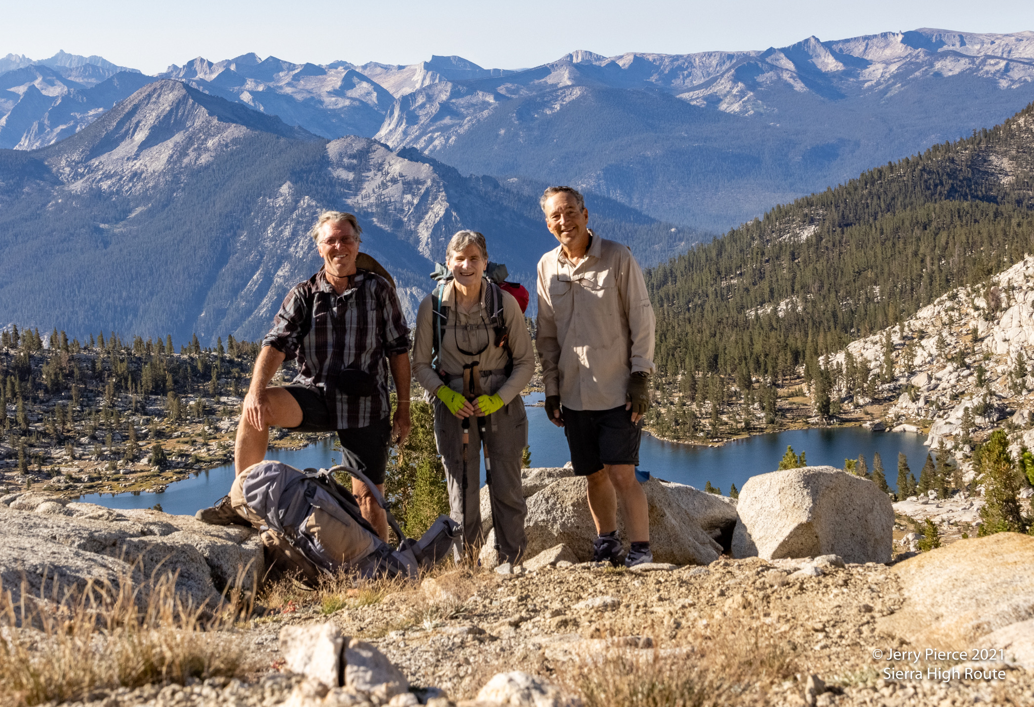
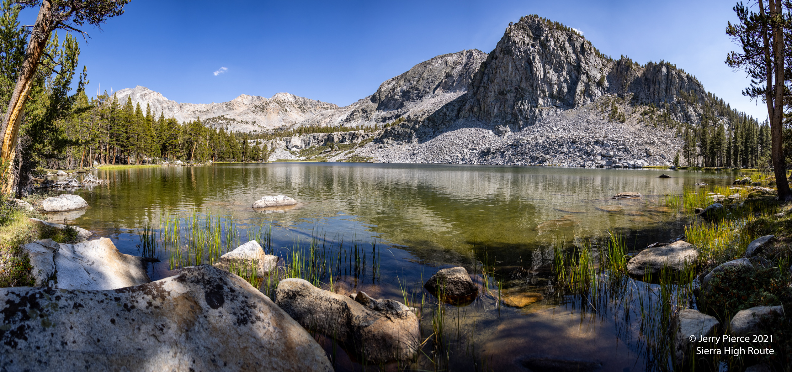
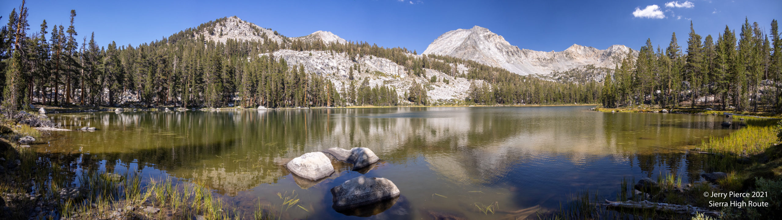
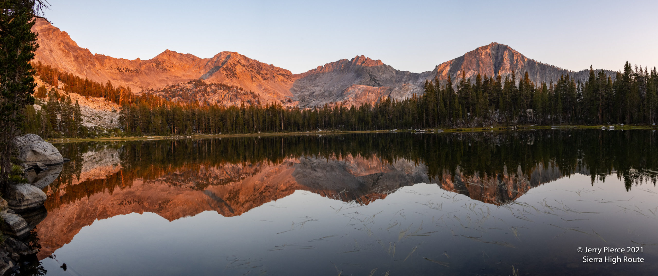
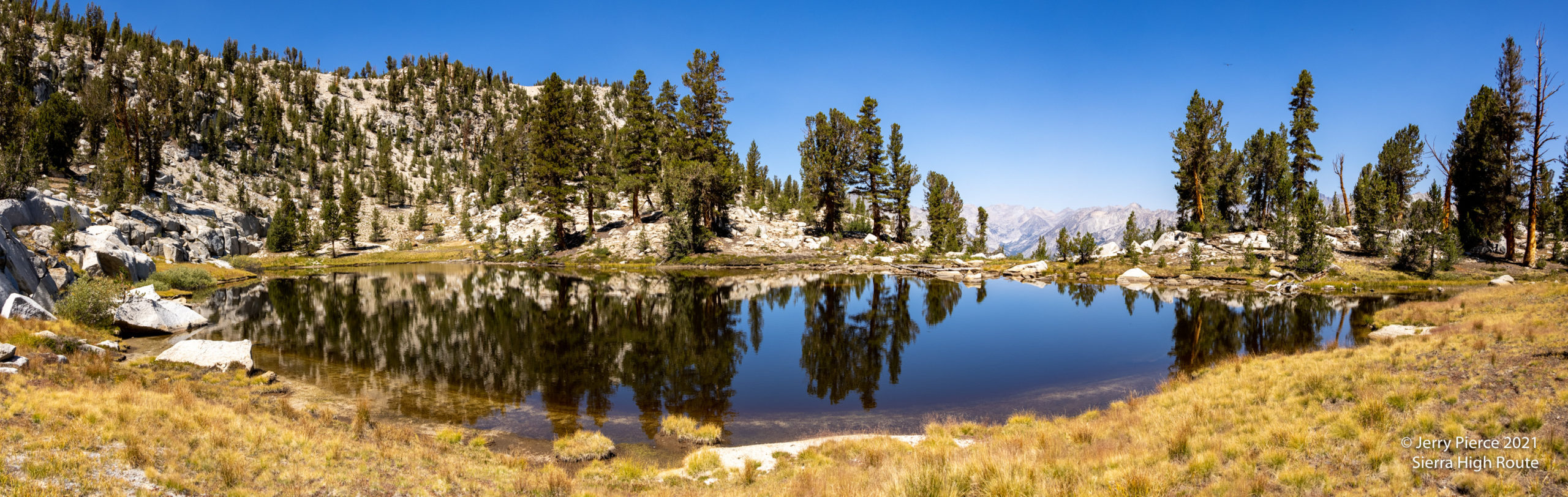
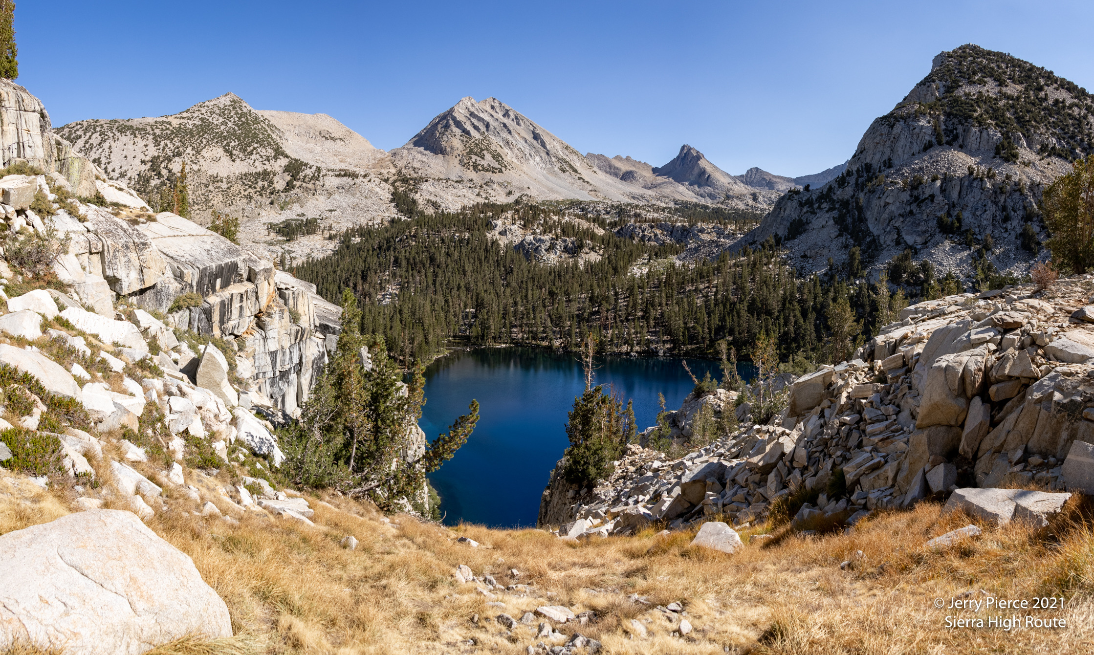
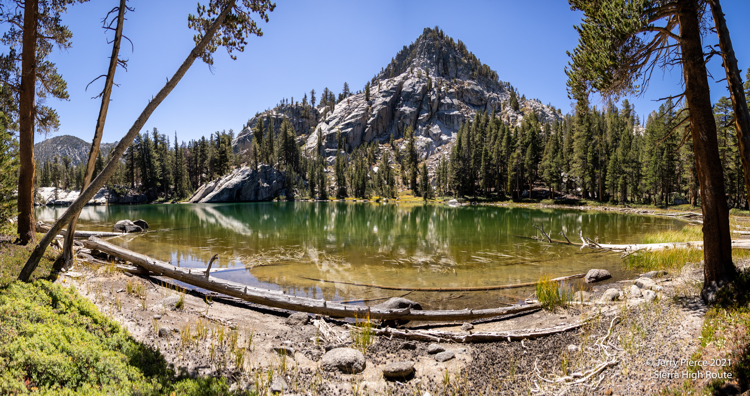
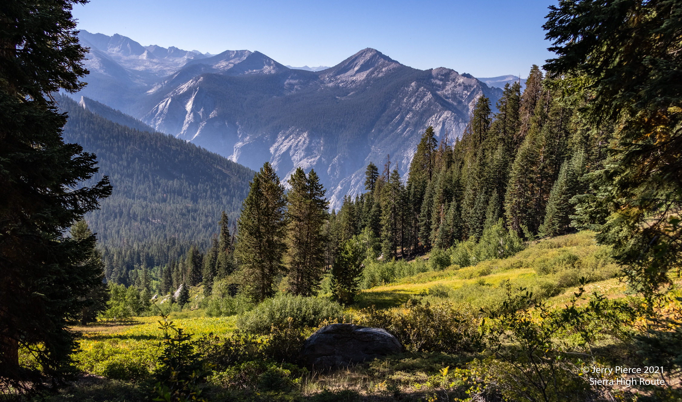
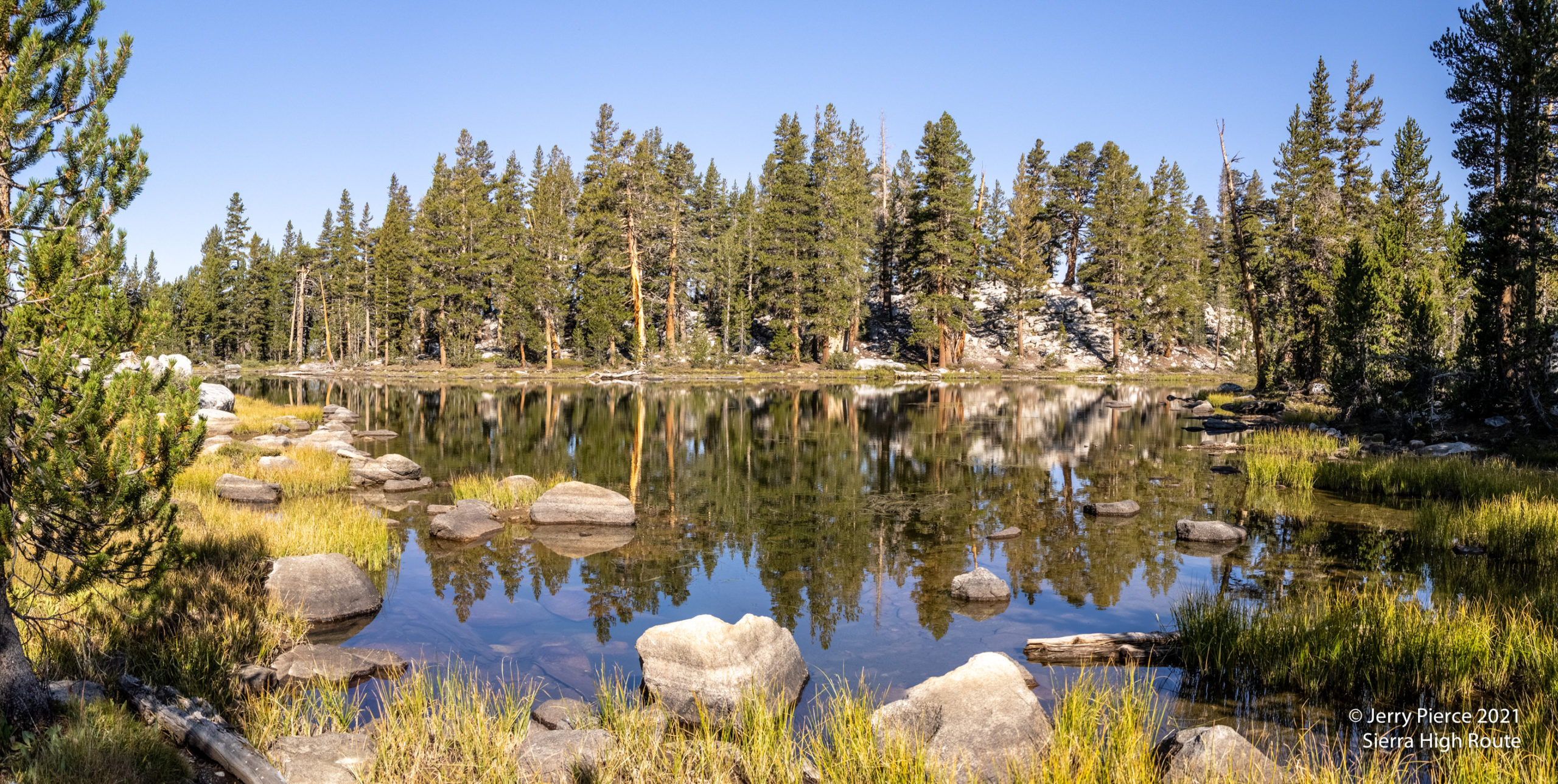
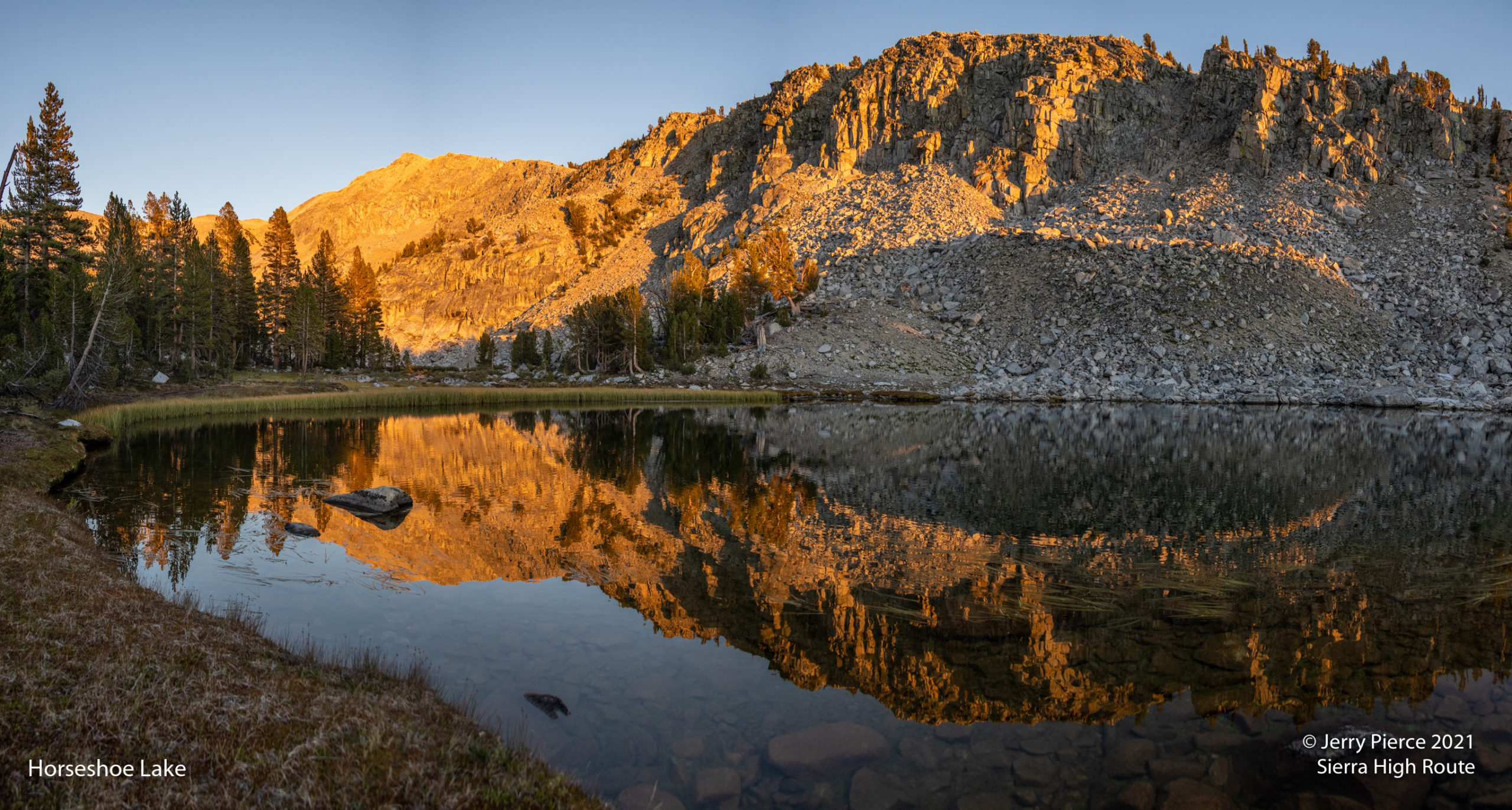
Our goal for this day 2 was to camp at States Lakes … or if things went really well to make it to Horseshoe Lakes. We stopped at State Lakes and found a nice campsite on the north shore of Upper States Lake
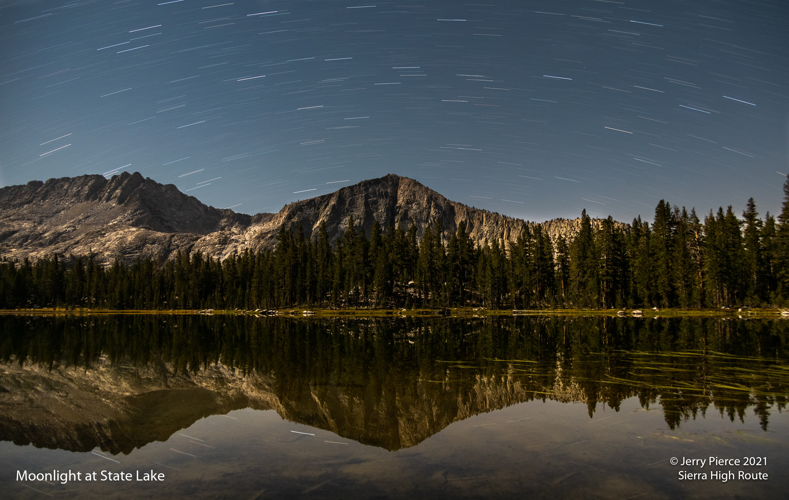
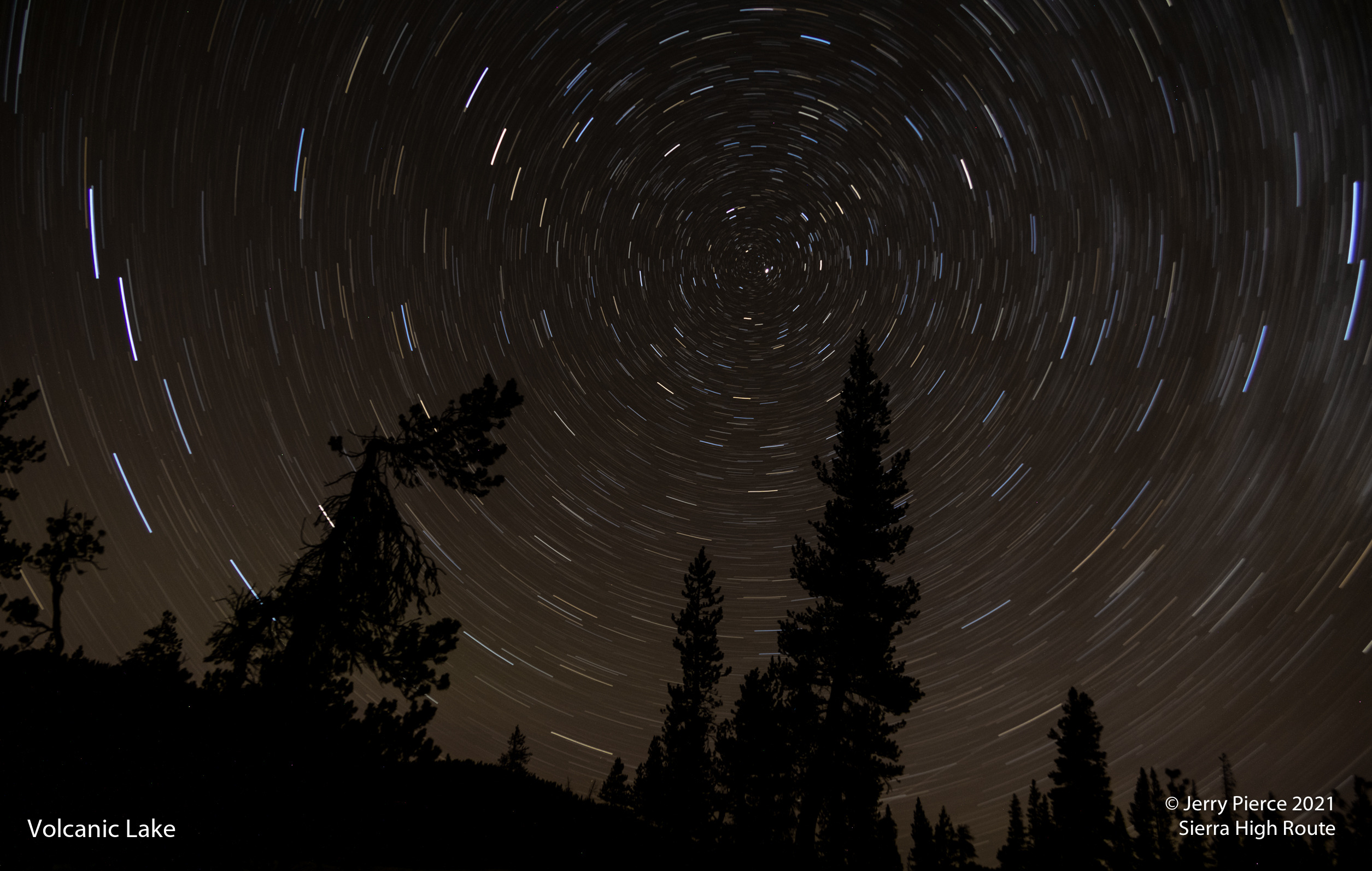
The sky was clear at night and we had a partial moon that can make for interesting star tracks. So I got up and took night photos… It was amazing how still the water was. This is a 12 minute exposure. I always like how the different stars are different colors.
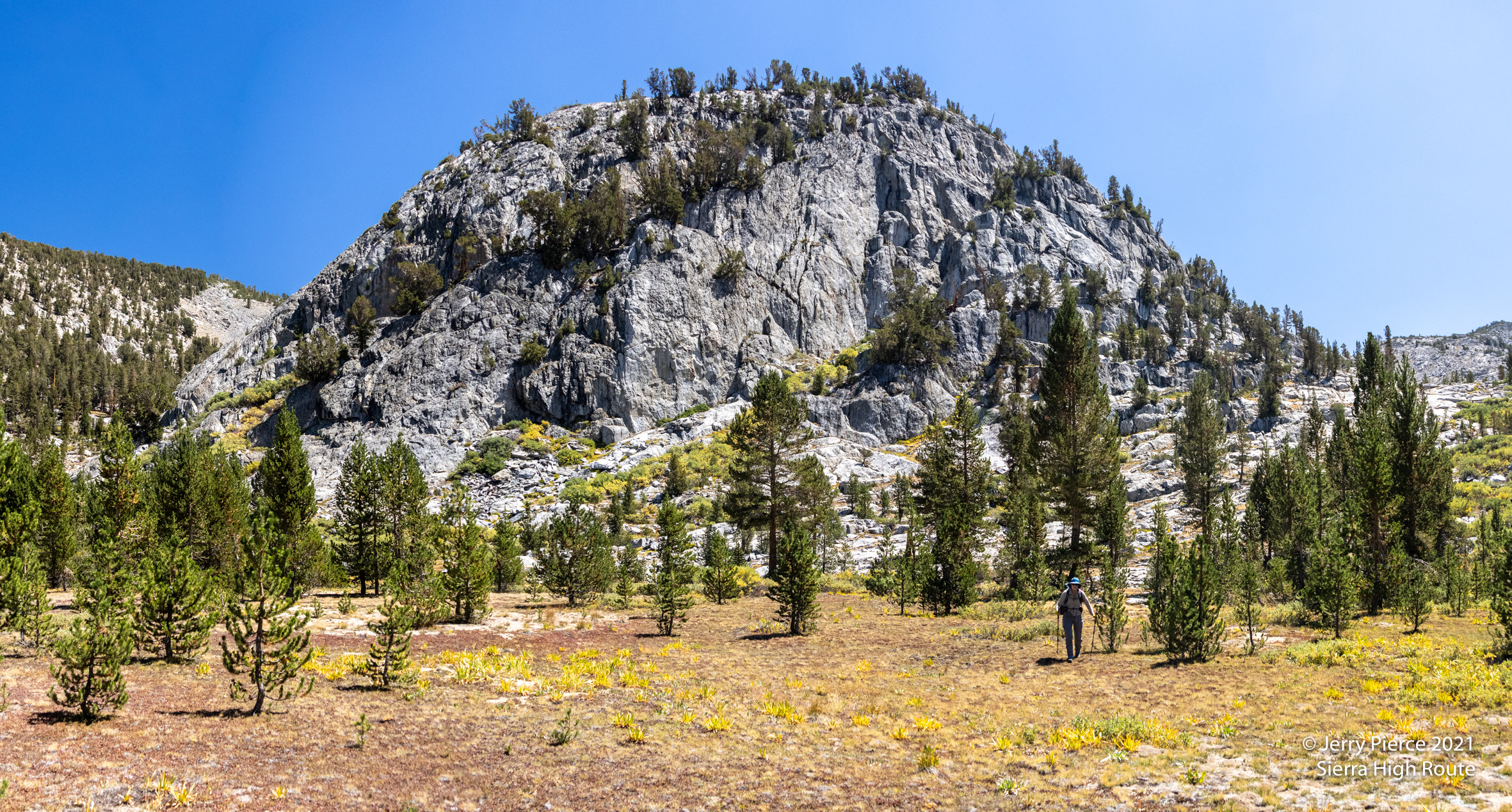
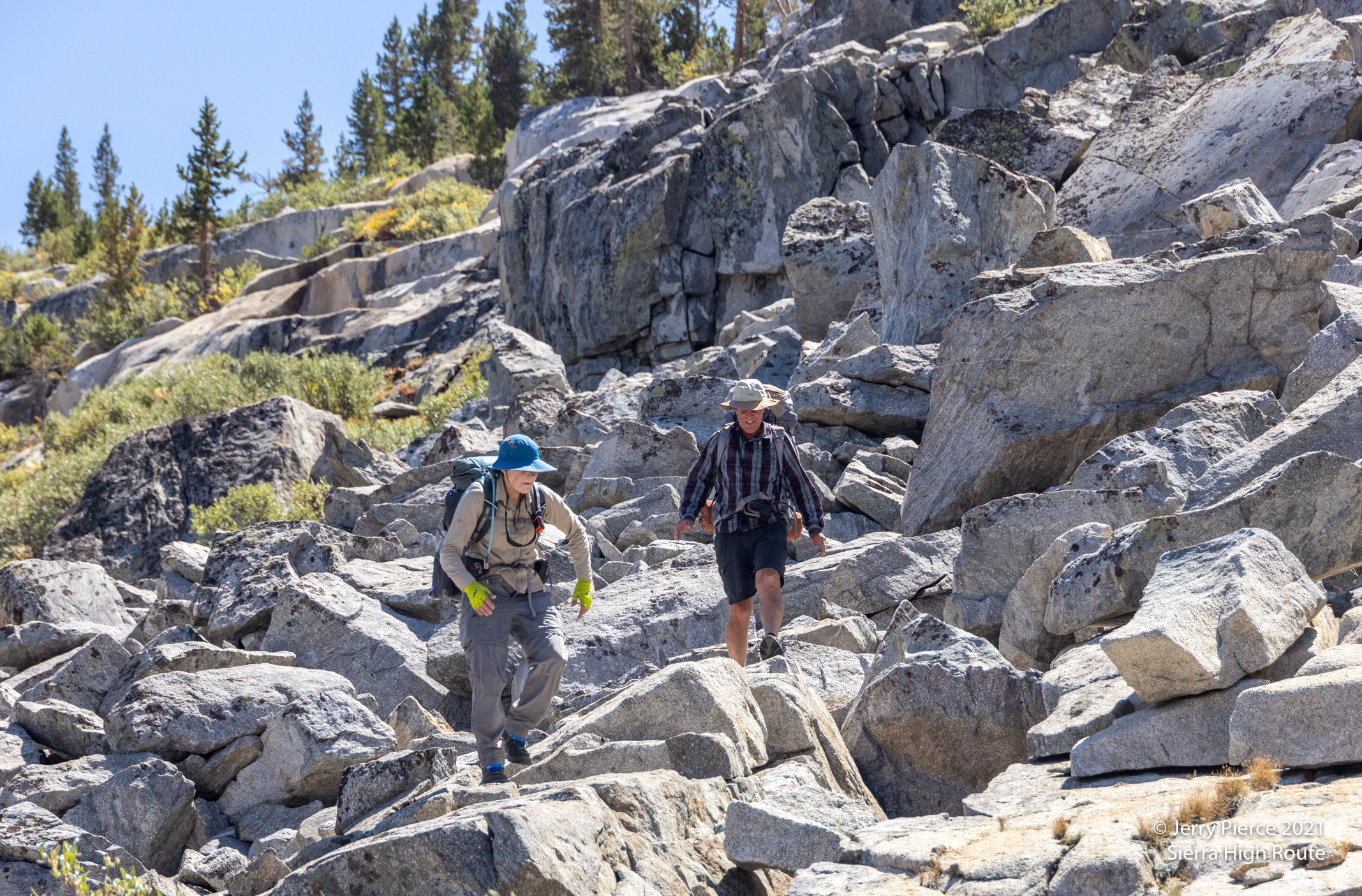
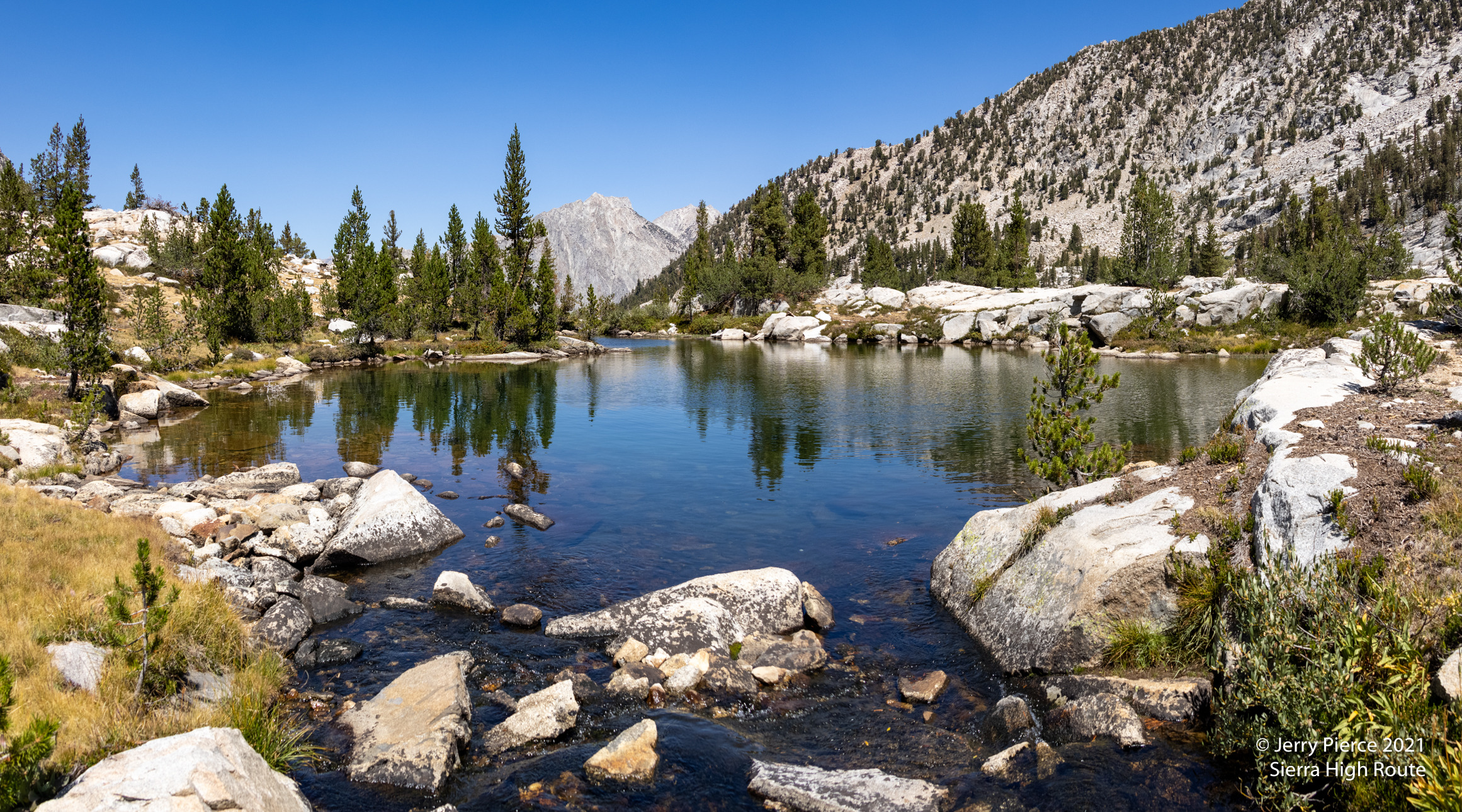
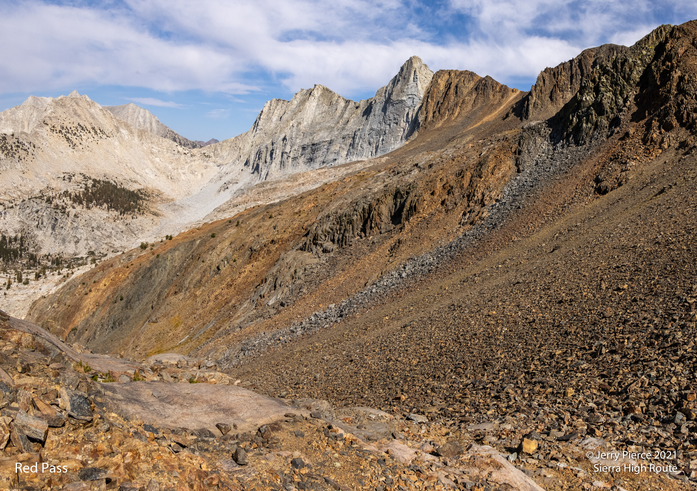
Day 3 was the more challenging navigation and passes. We were aiming for Marion Lake. I screwed up navigation and went down a hill unnecessarily. Well, we recovered and went over Gray Pass, White Pass and Red Pass. Including a long down between Gray and White to the South Fork Cartridge Creek.
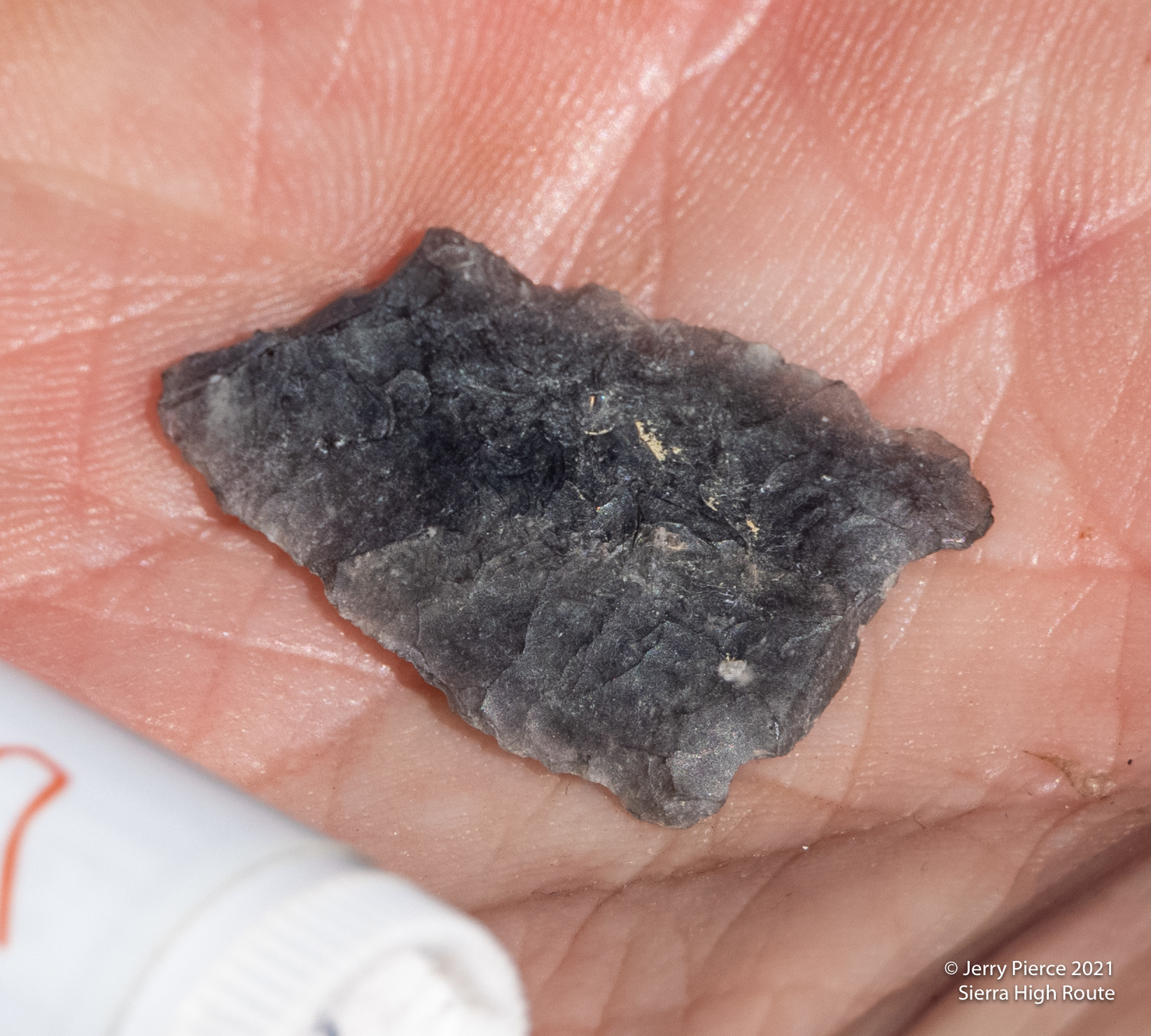
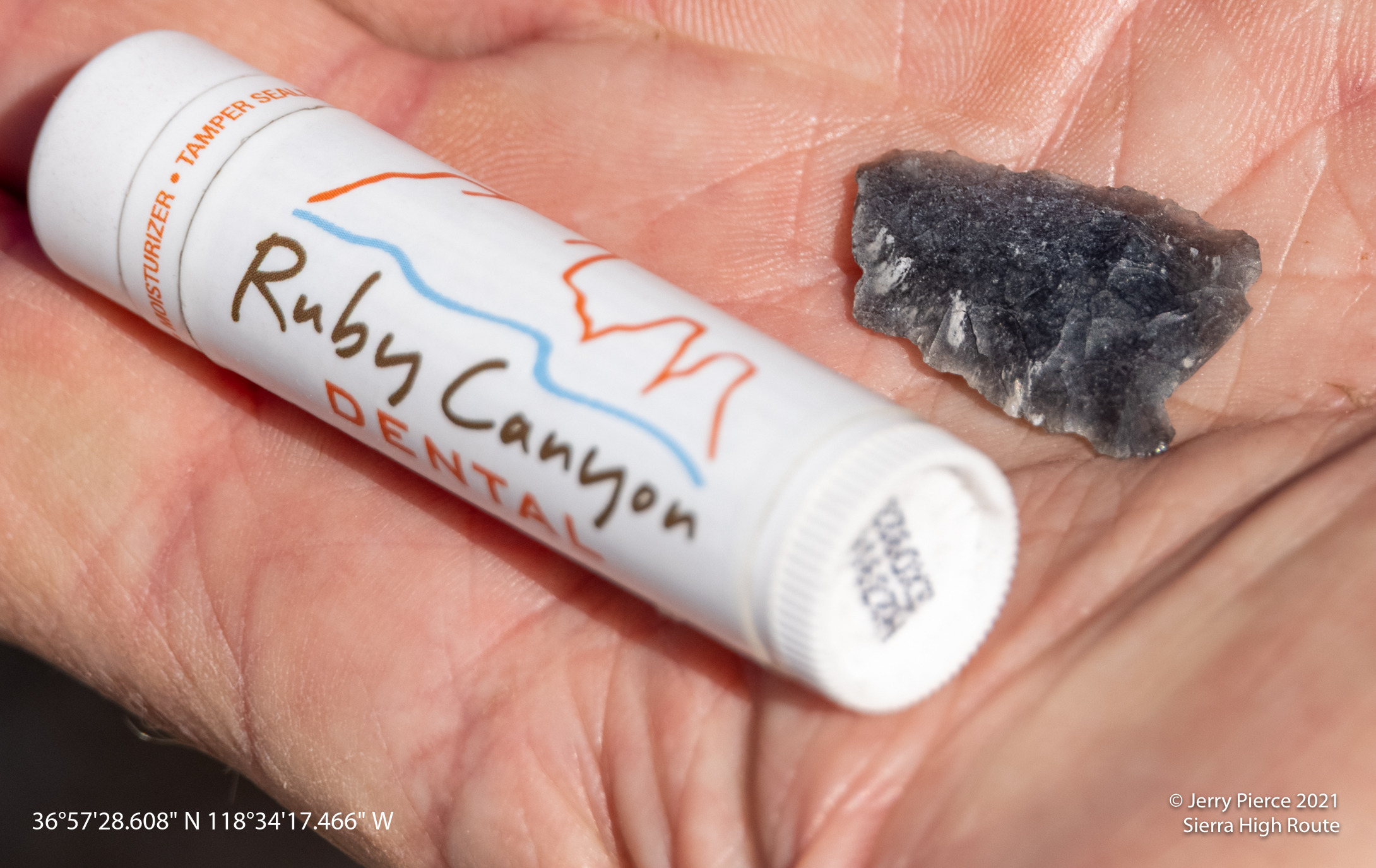
Come to find out, Dan is an Indian arrowhead tracker! He found an arrowhead on the walk and we determined the GPS coordinates and he will report the finding! Way up in the hills indicating the early settlers were hunting here way back when!!
Between White and Red passes
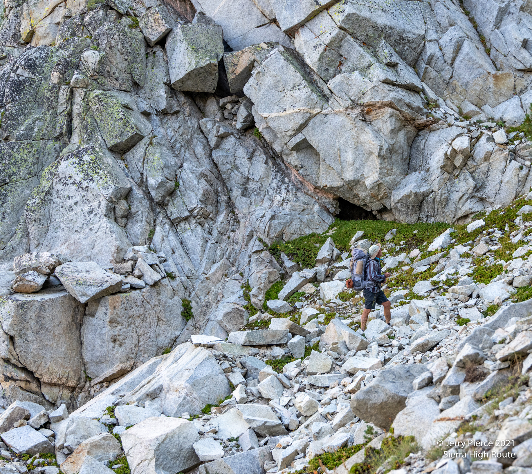
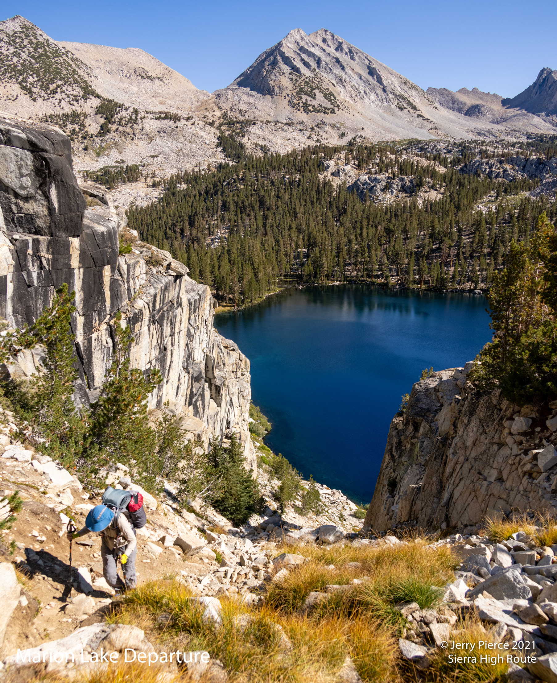
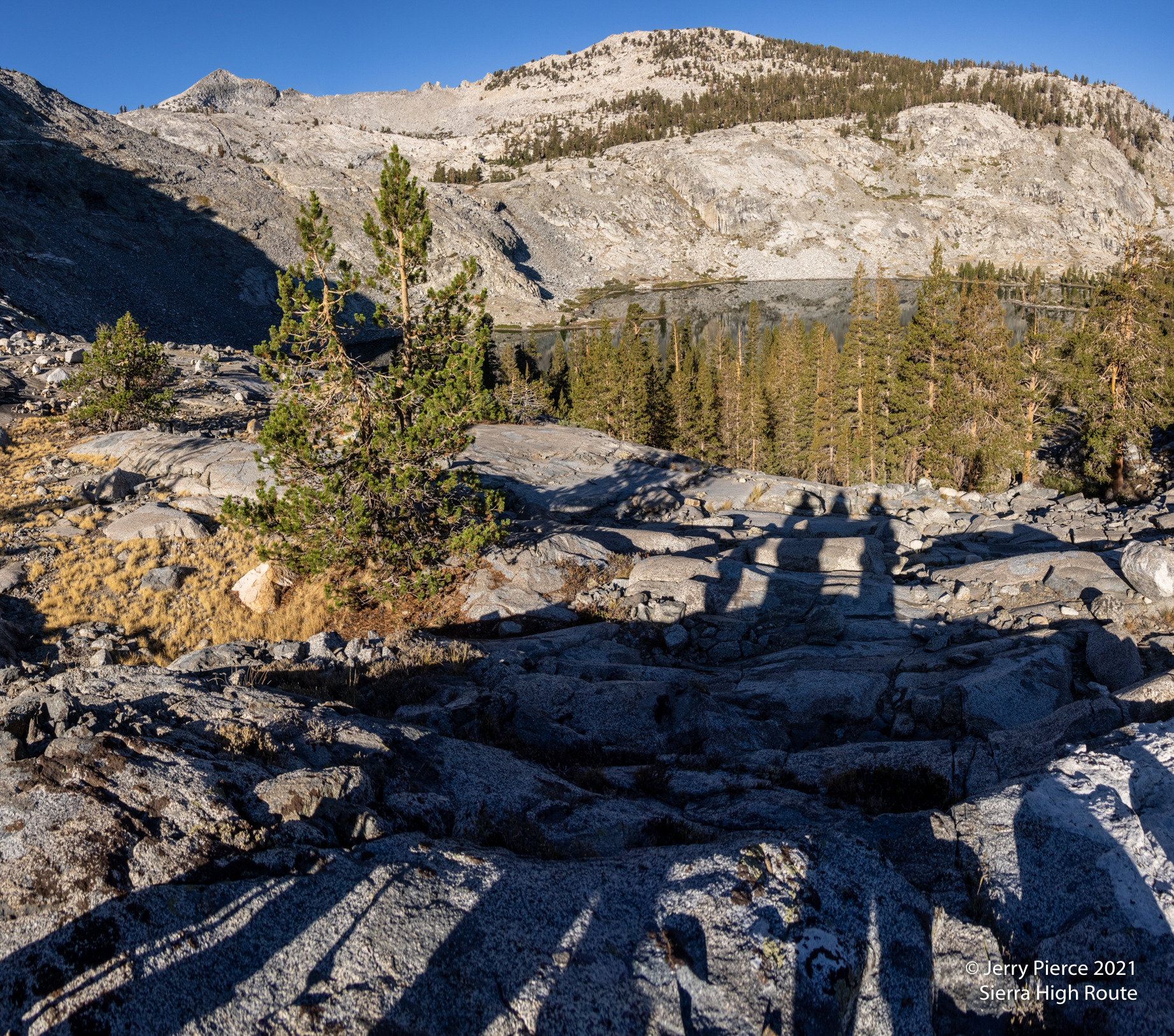
The most interesting “challenge” was the approach to Marion Lake. It was described as a “chute” on the west side. Well it was .. not hard, but VERY steep.
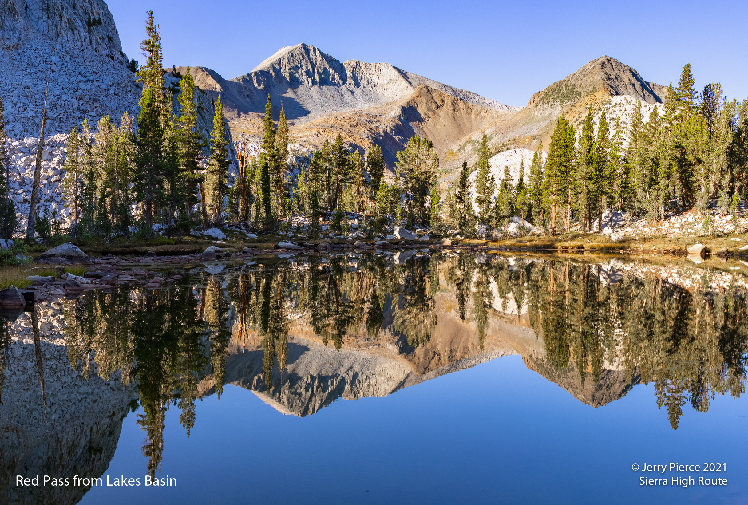
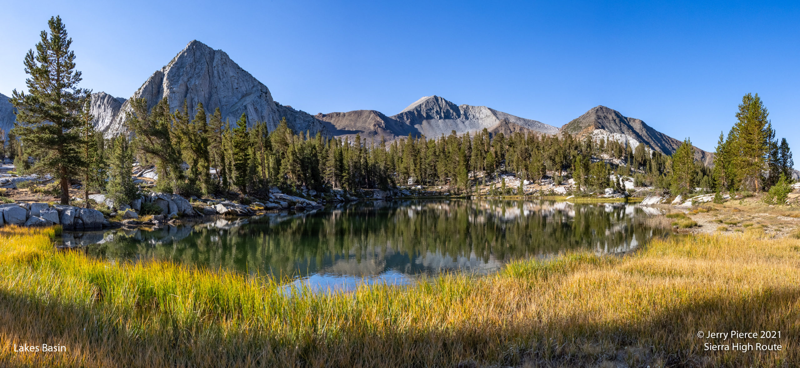
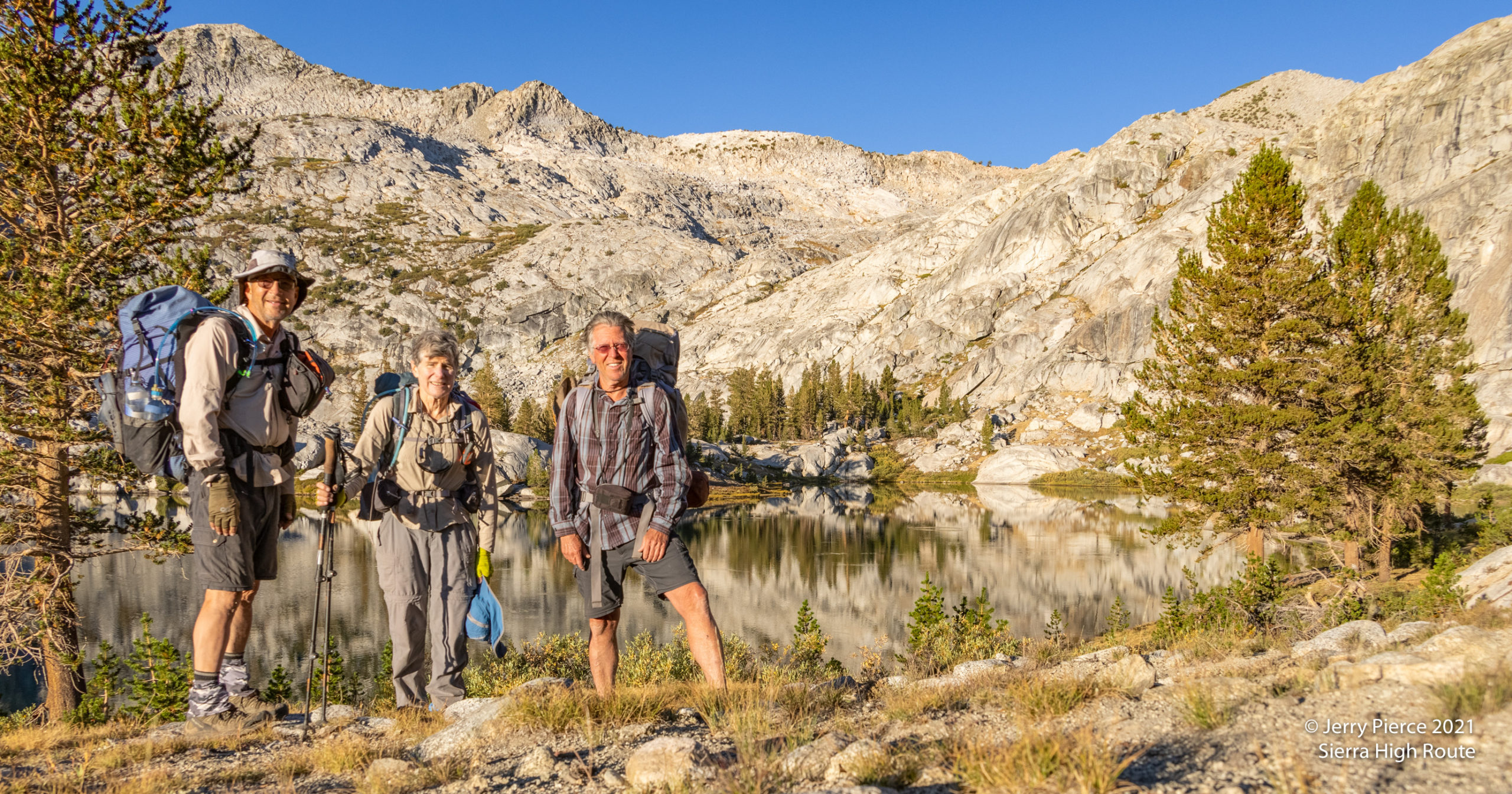
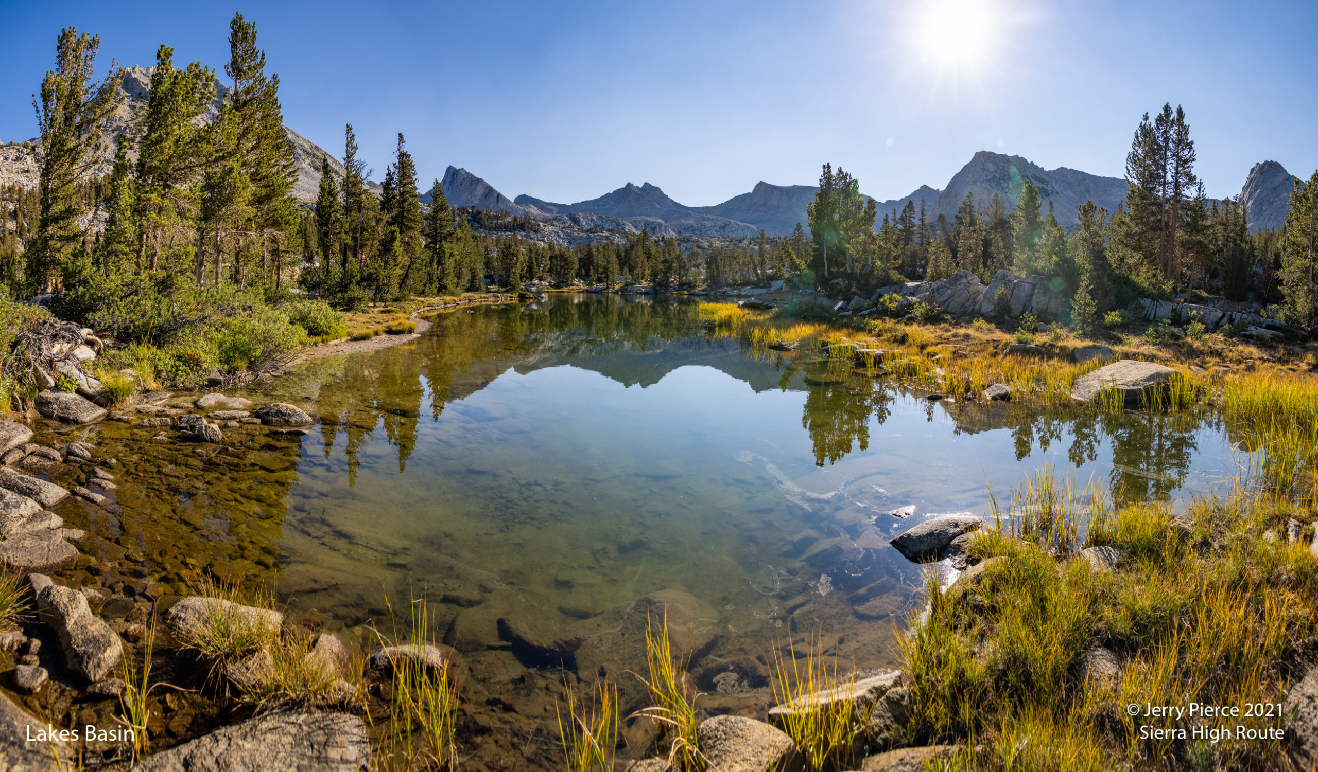
Marion Lake was a delight! We took off early on Day 4 for a no-pack hike up to Lakes Basin. There was a small lake along the way with the most beautiful background! Looking back to the Red Pass and the rock colors with NO WIND was picture perfect! And Lakes Basin itself we beautiful, especially in the early morning light.
Having achieved our goal, it was time to head back. We retraced our steps up the chute leaving Marion Lake, over Red, White and Gray passes and headed to Horseshoe Lake.
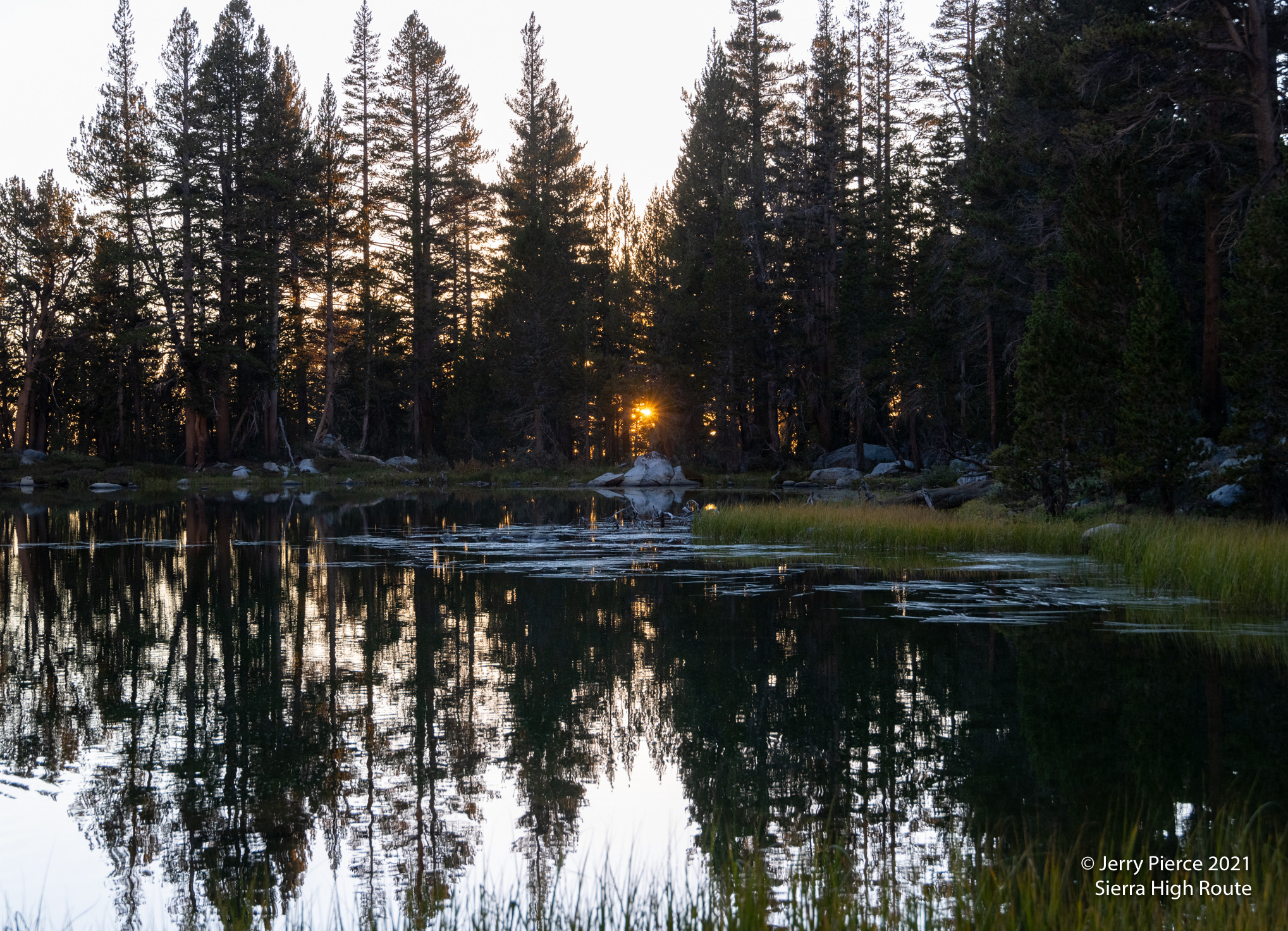
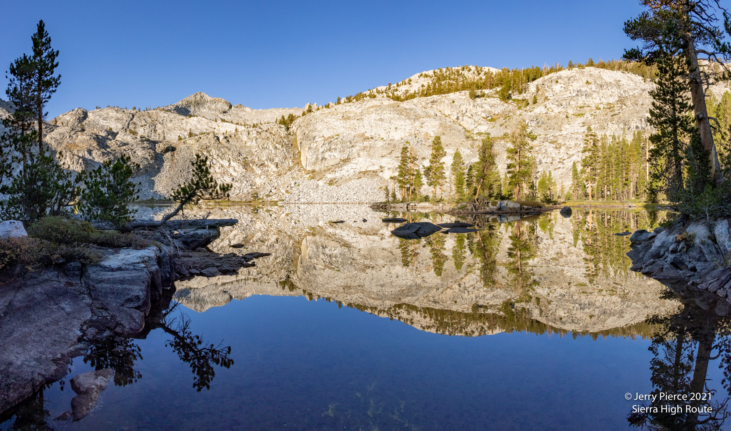
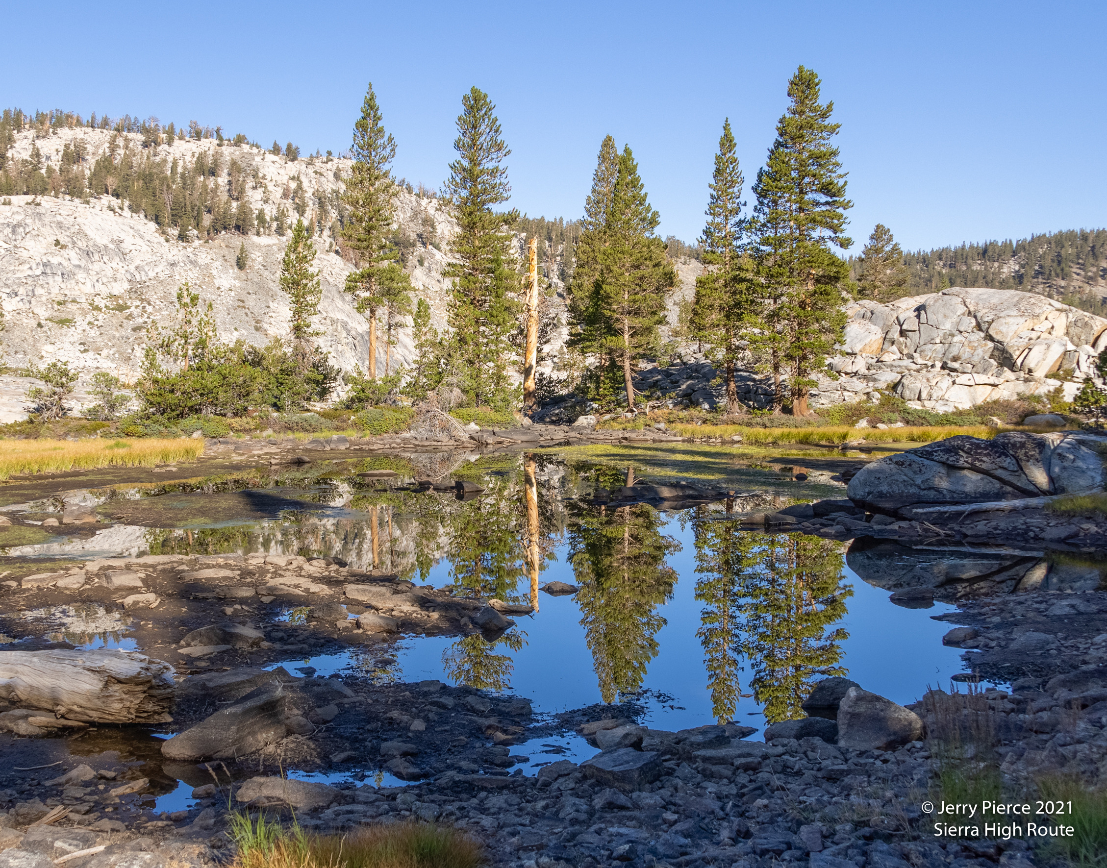
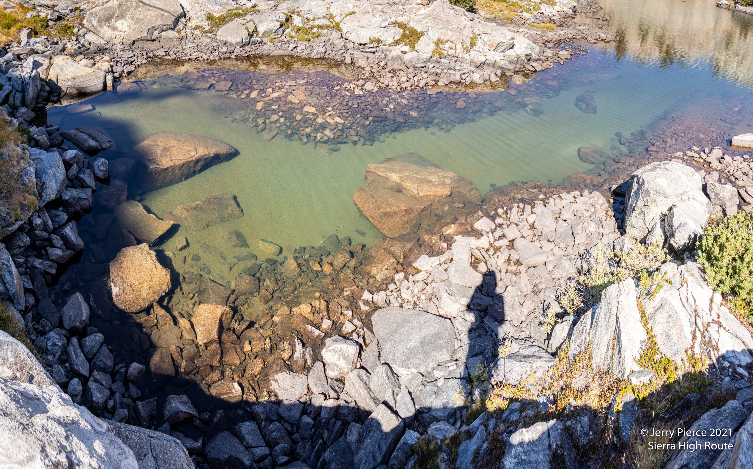
Day 5 took us mainly on-trail to Volcanic Lakes – just to the West of the main trail back. We passes some wonderful ponds and ended up at a campsite on the furthest north Volcanic Lake (no idea why they are called “Volcanic”). I again had an opportunity to do some night photos. This time of the north star…
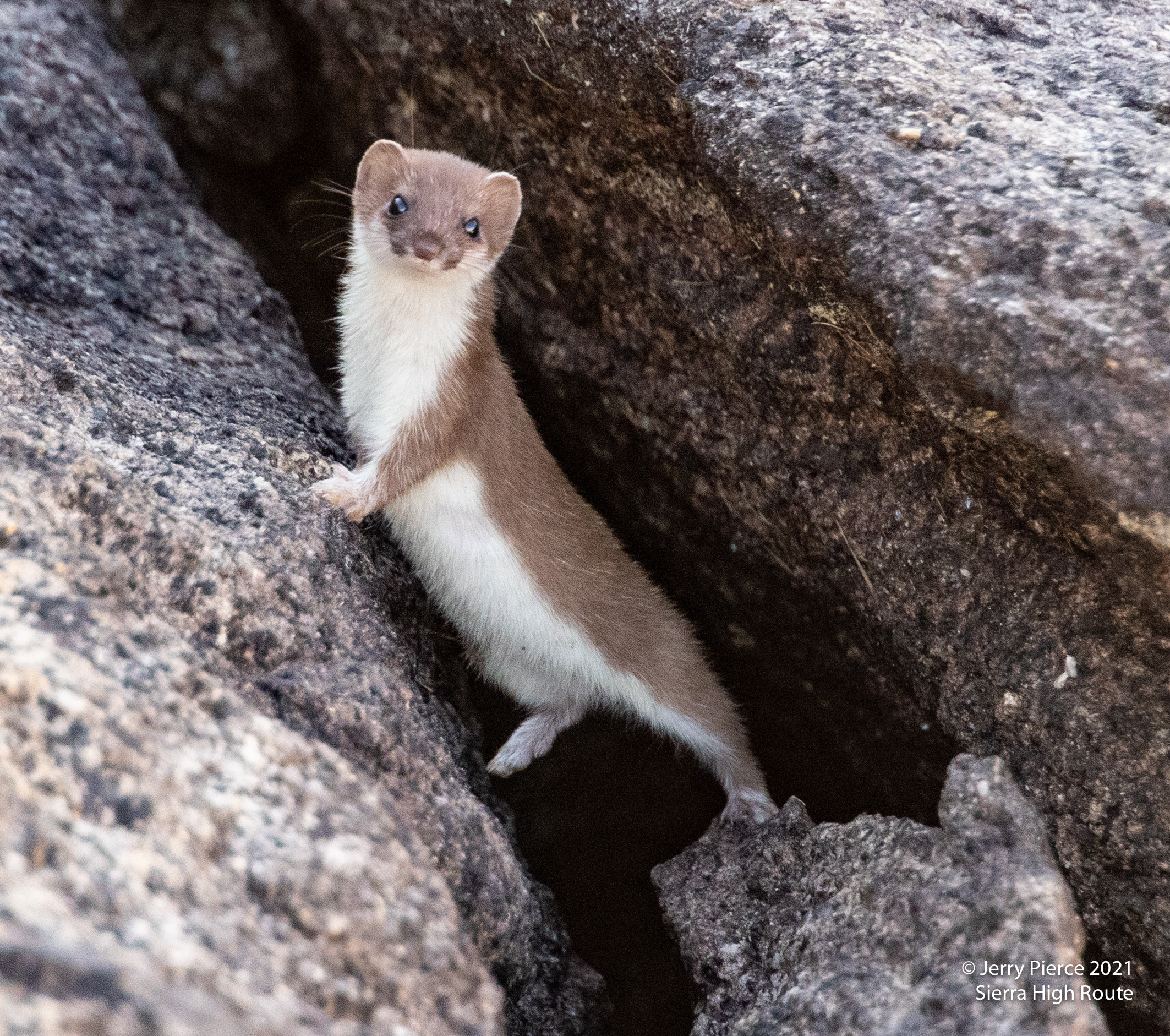
A weasel ?? S/He was really cute! He ran around the rock checking to see if we were still there and looking for an escape.
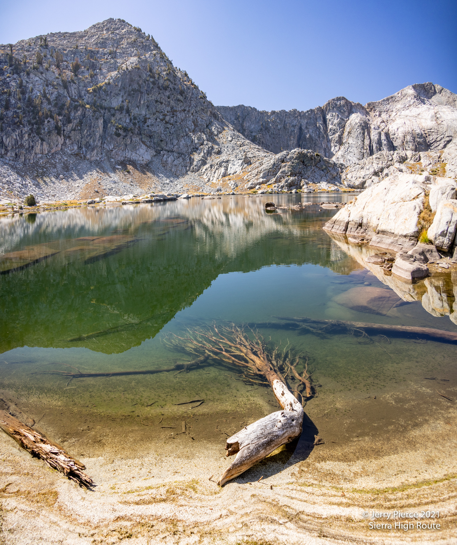
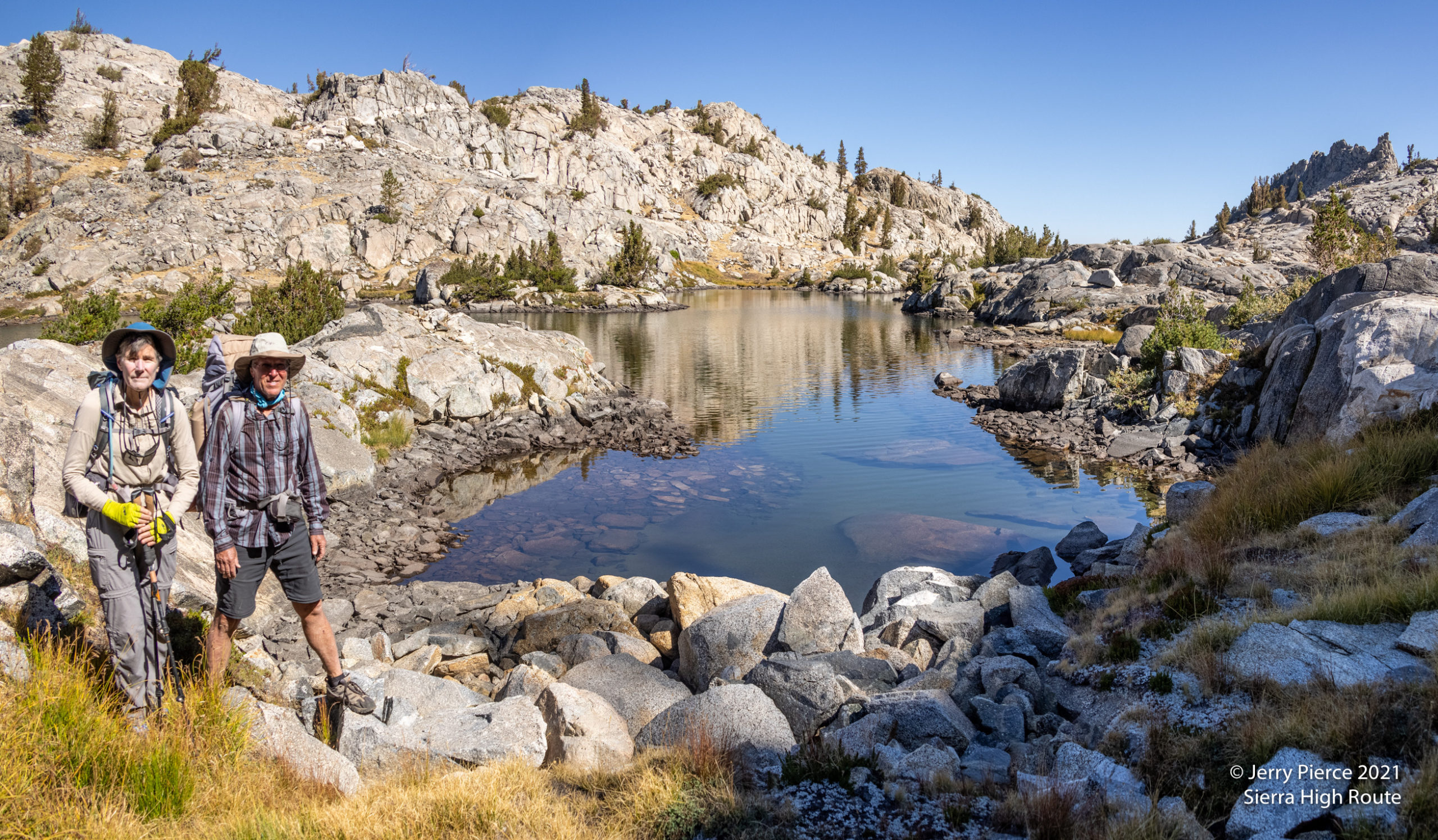
We had considered doing a hike-out from Volcanic Lakes, but decided it would be better to get slightly closer to the trailhead, so we walked through the wonderful assortment of Volcanic Lakes – such a wonderful collection! – and headed to Granite Lake.
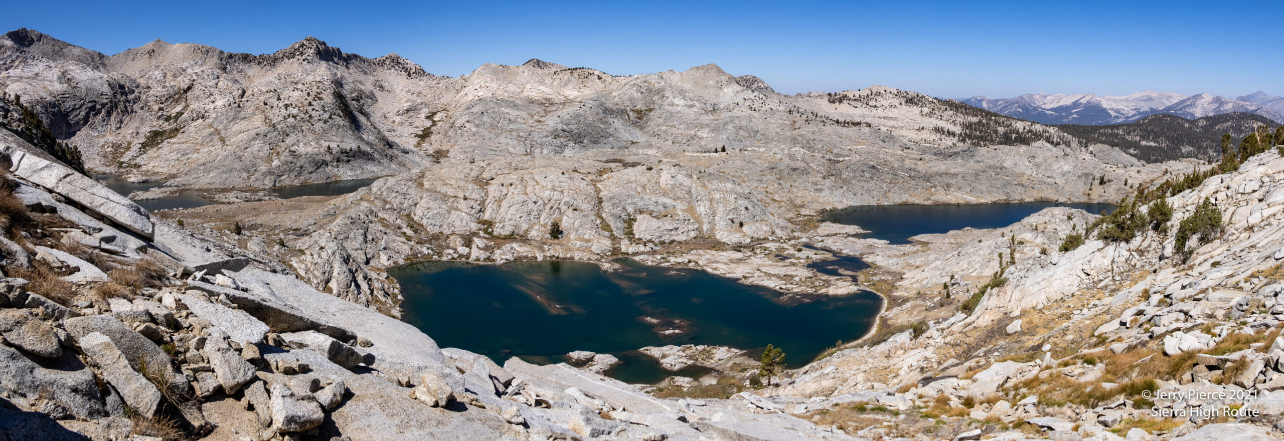
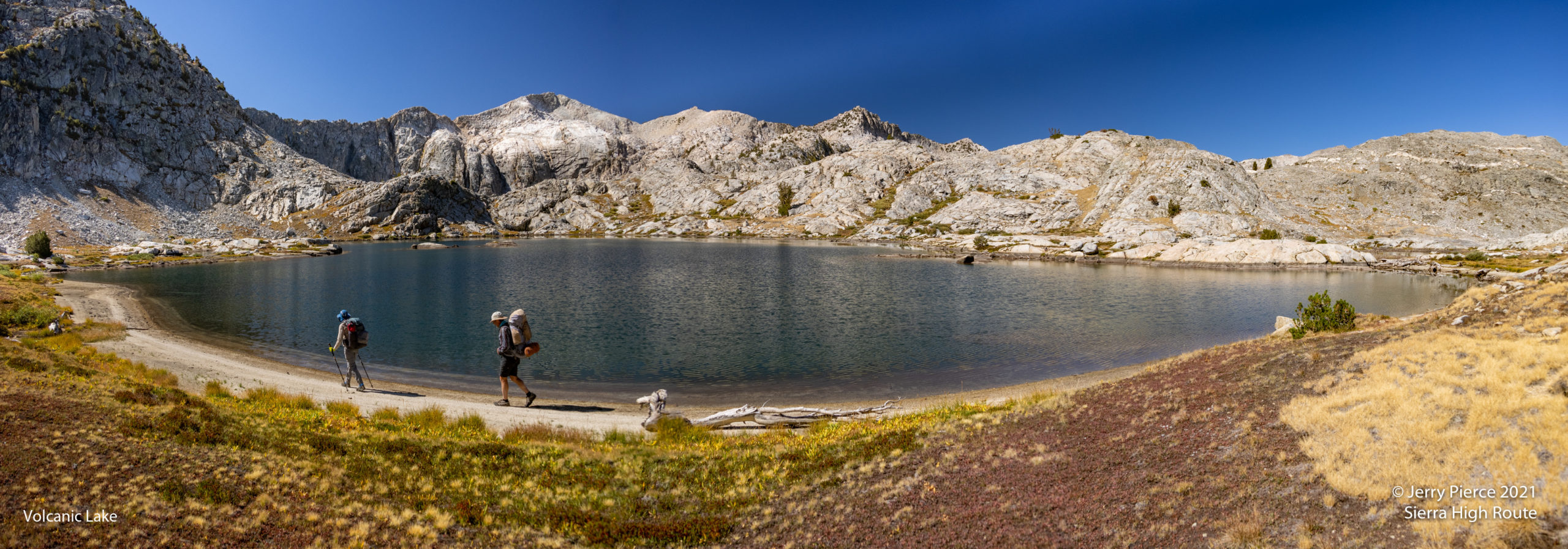
An overview of most of the Volcanic Lakes
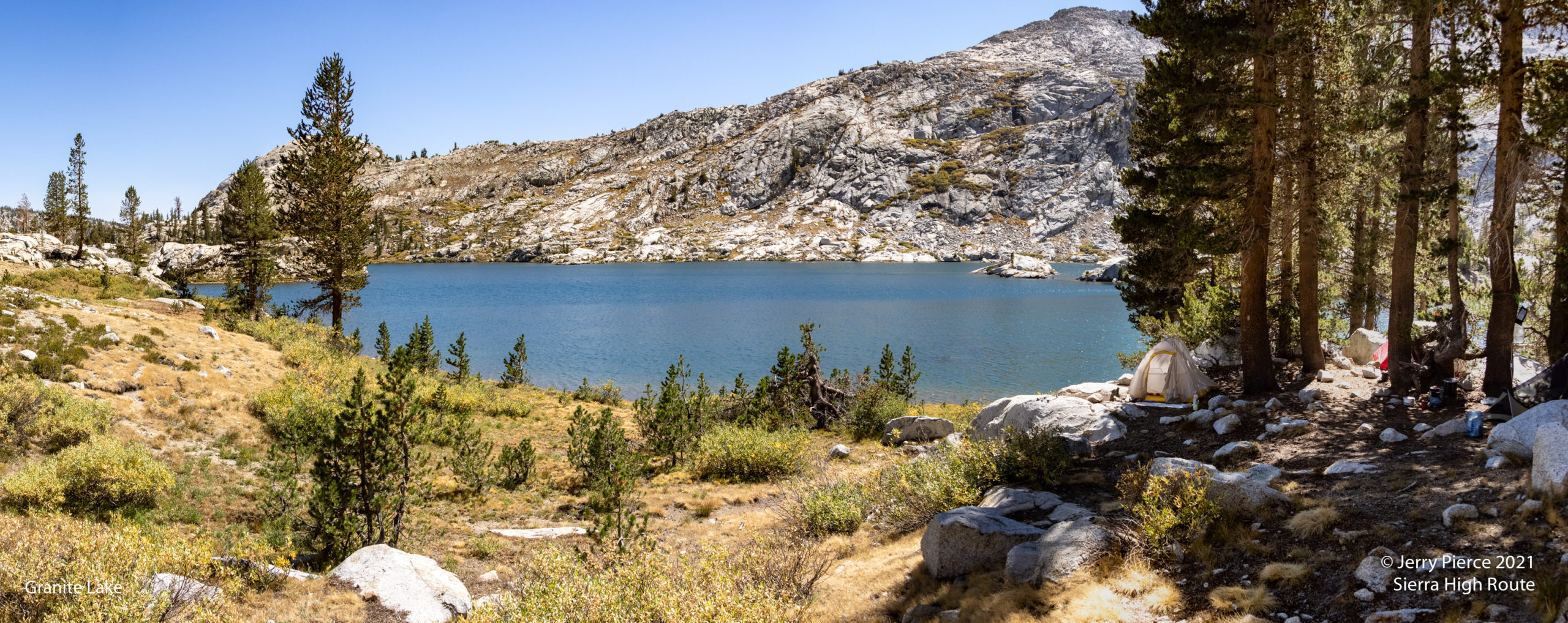
Our campsite on Granite Lake
Day 6 we arrived early to Granite Lake to have some spare time to wander around a bit. From “swimming” to reading on the shore we had some down-time!
An overview of most of the Volcanic Lakes
Day 7 we were off to trailhead! Mostly downhill from the “cool” of 70° to Road’s End at 95°.