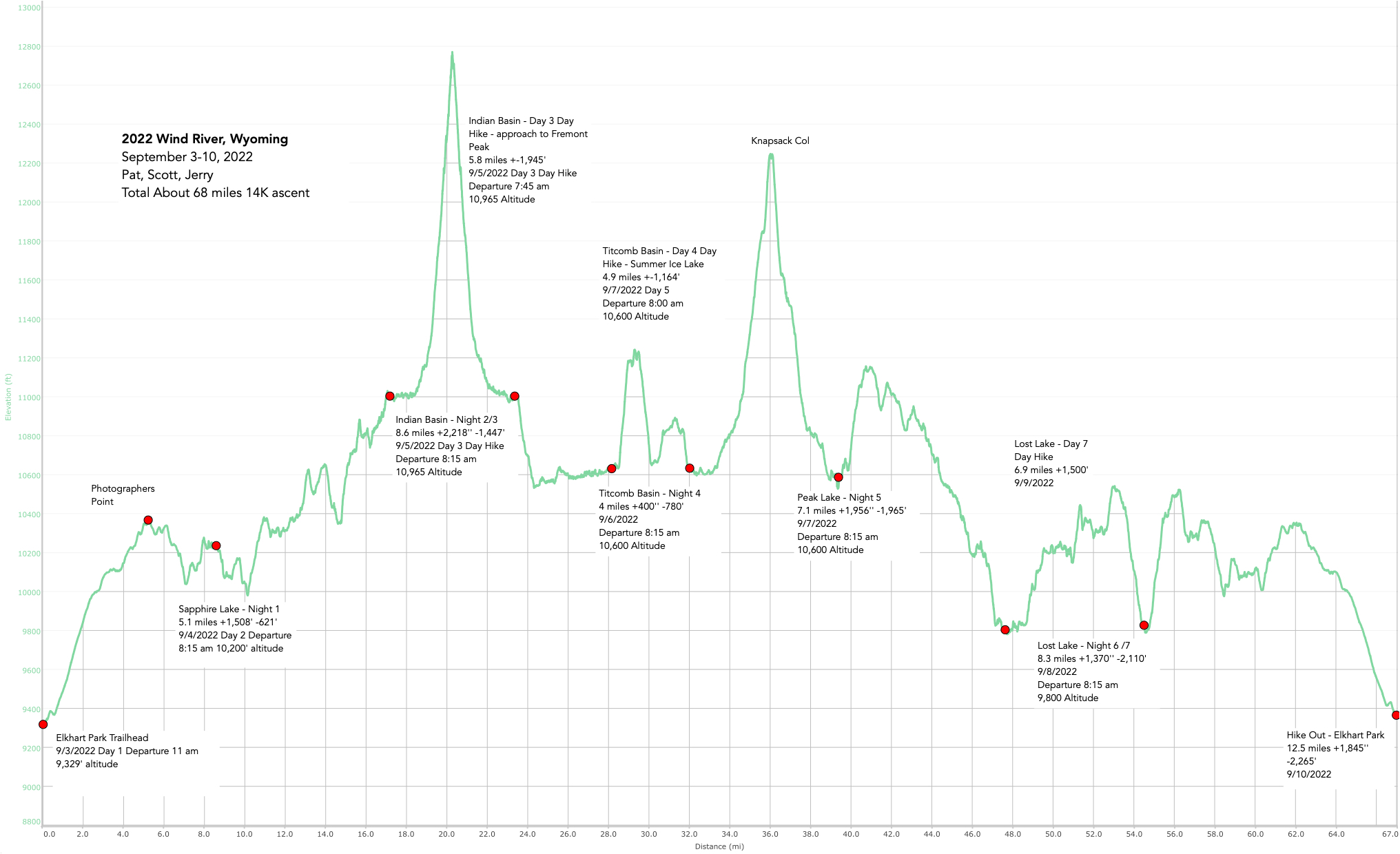
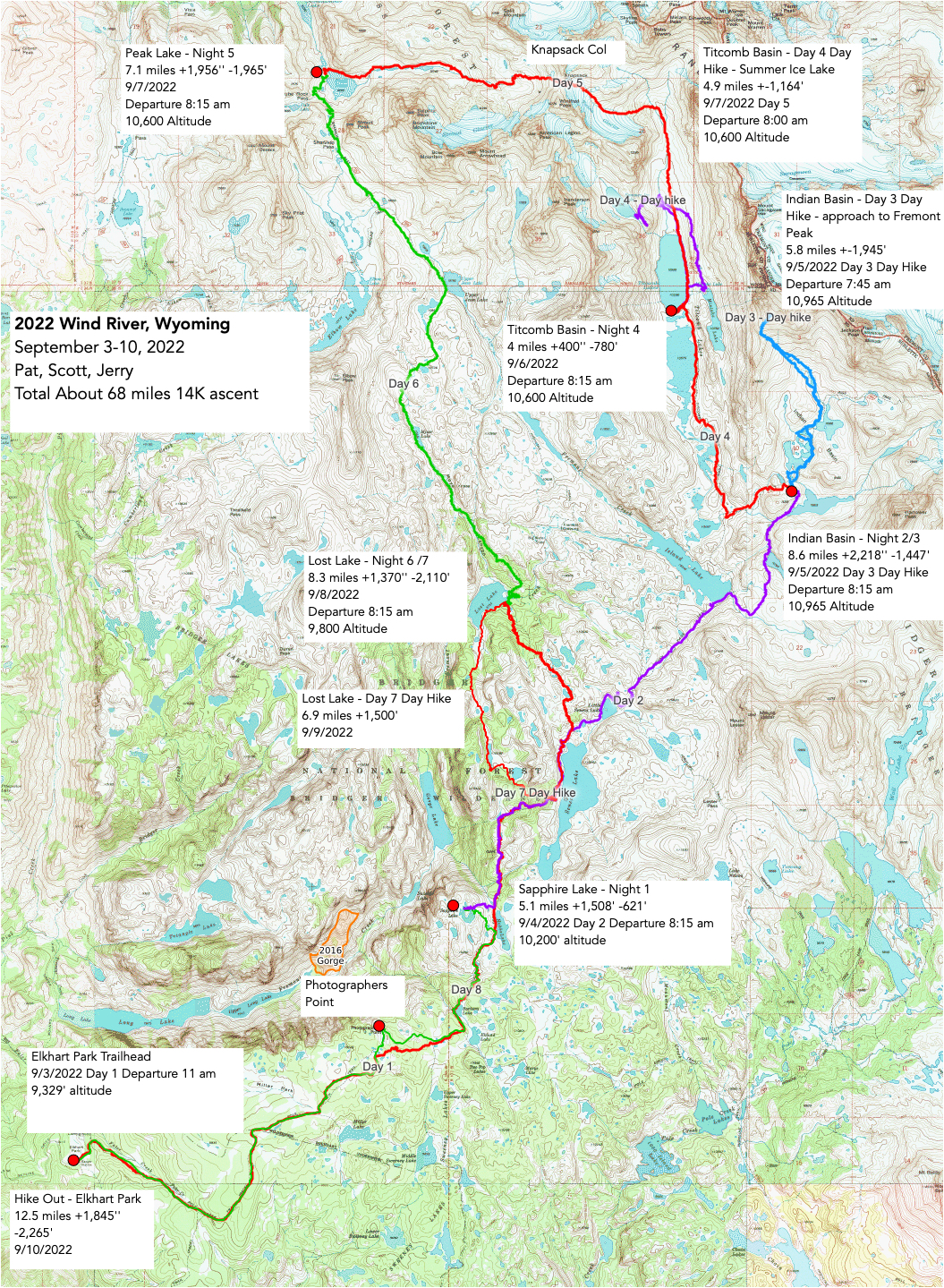
Here is the .gpx of the trek: https://jerrypierce.org/Files/2022-WindRiver.GPX
The last major hike of the season – our third time to Wind River, this time the northern route – Titcomb Basin. Wow! Amazing places.
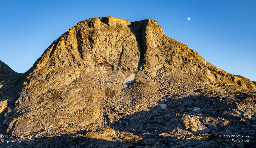
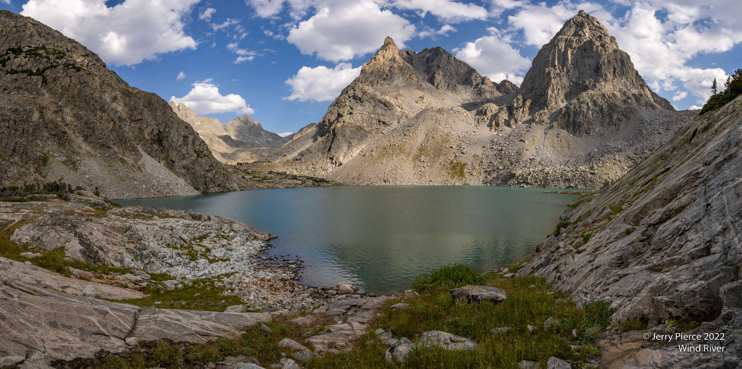
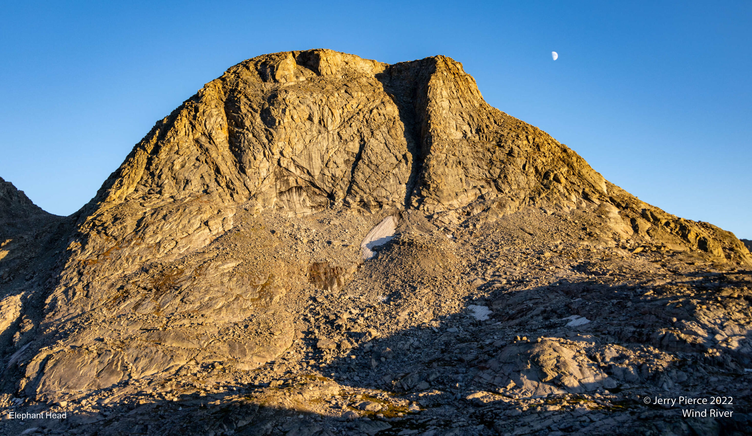
Elephant Head Mountain
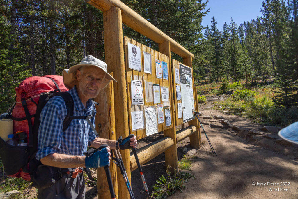
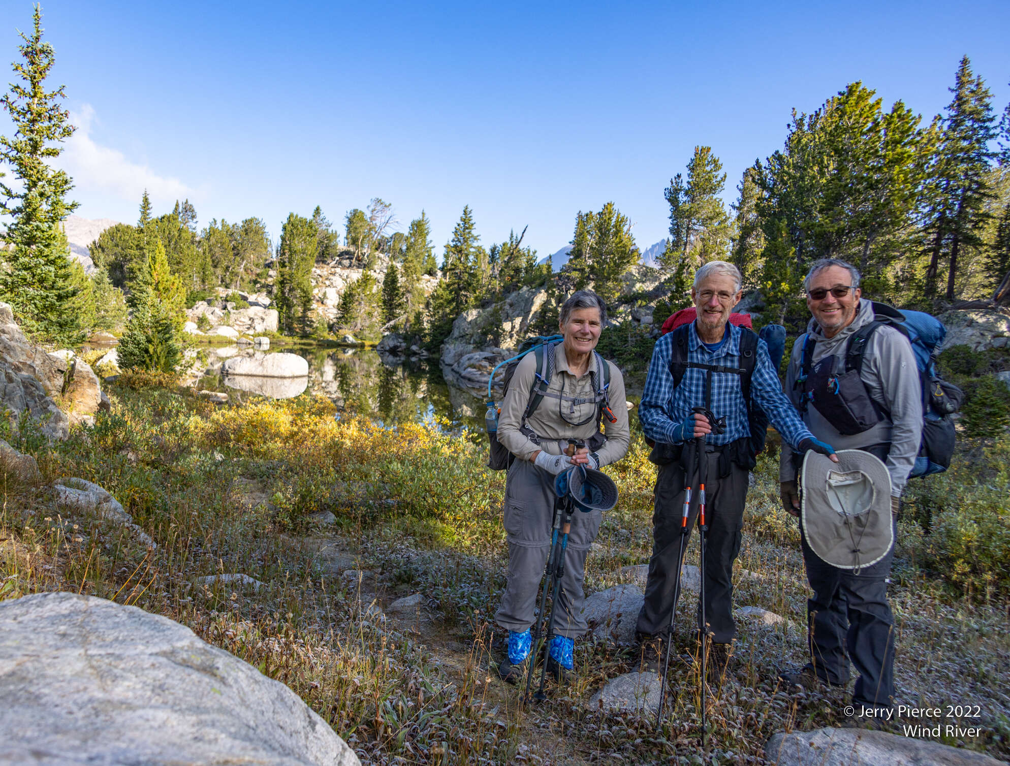
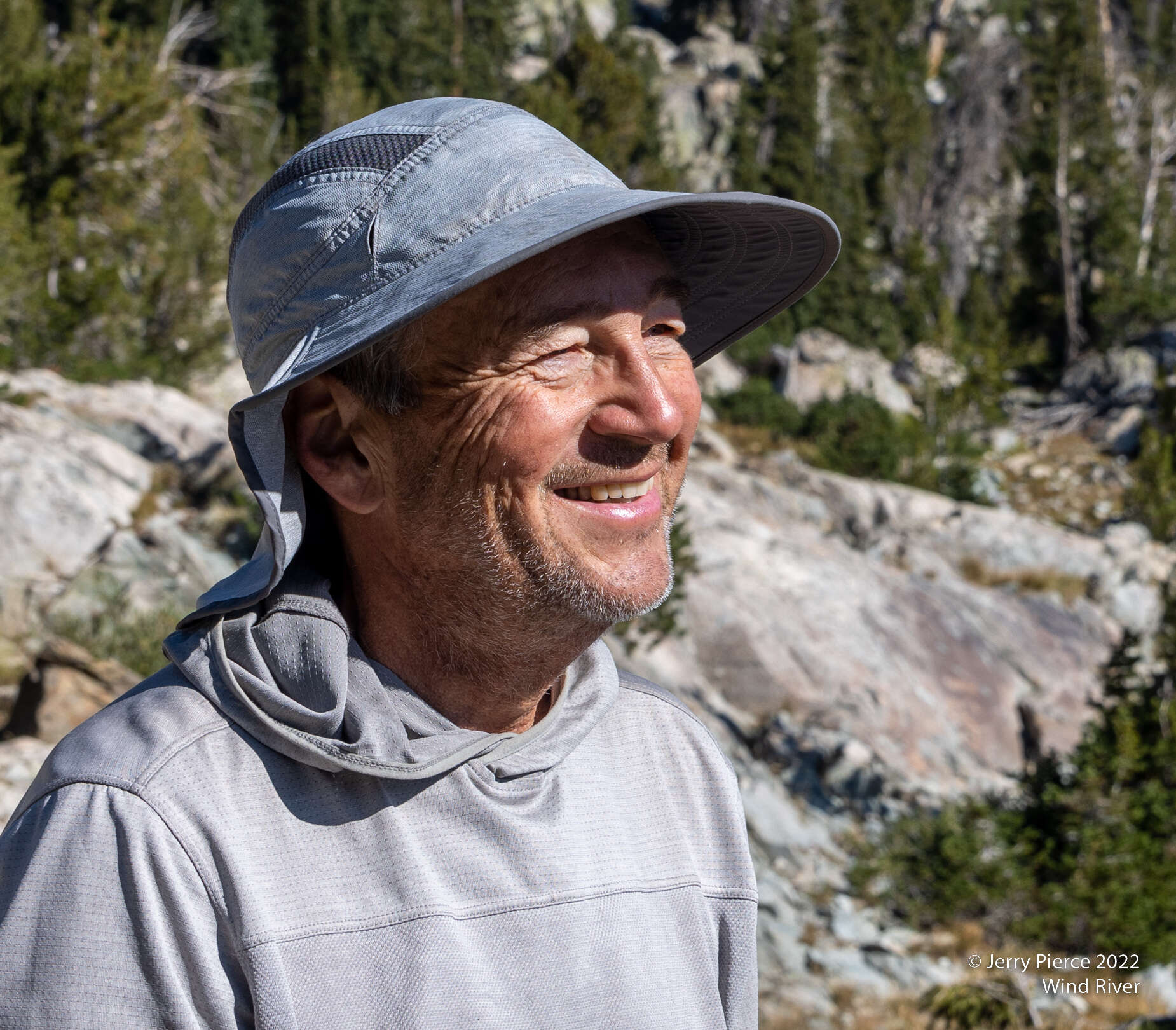
As usual for a Wind River hike we drove directly from far away. Jerry from Boise and Pat/Scott/Jim over two days from California. PSJ stayed the night in Pinedale, Jerry arrived at about 9am and off to the trailhead. 9/3 is a Saturday on a holiday weekend and one of the first really good weather predictions for Wind River, so we faced a very full parking lot. We had to park about 1/4 mile away. LOTS of people.
We were rewarded with spectacular weather and LOTS of people and their dogs. Lots of dogs. Seems there may be a requirement to bring a dog to camp… First stop was Photographer Point. An overlook over the northern wind river area. It’s within a short walk of the trailhead so lots of day hikers enjoying the sights.
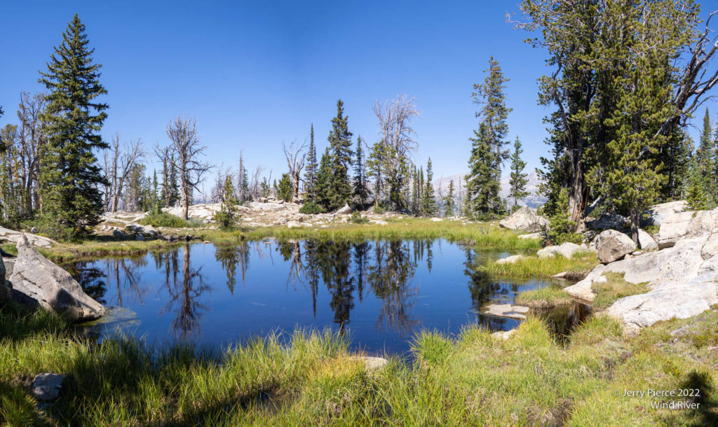
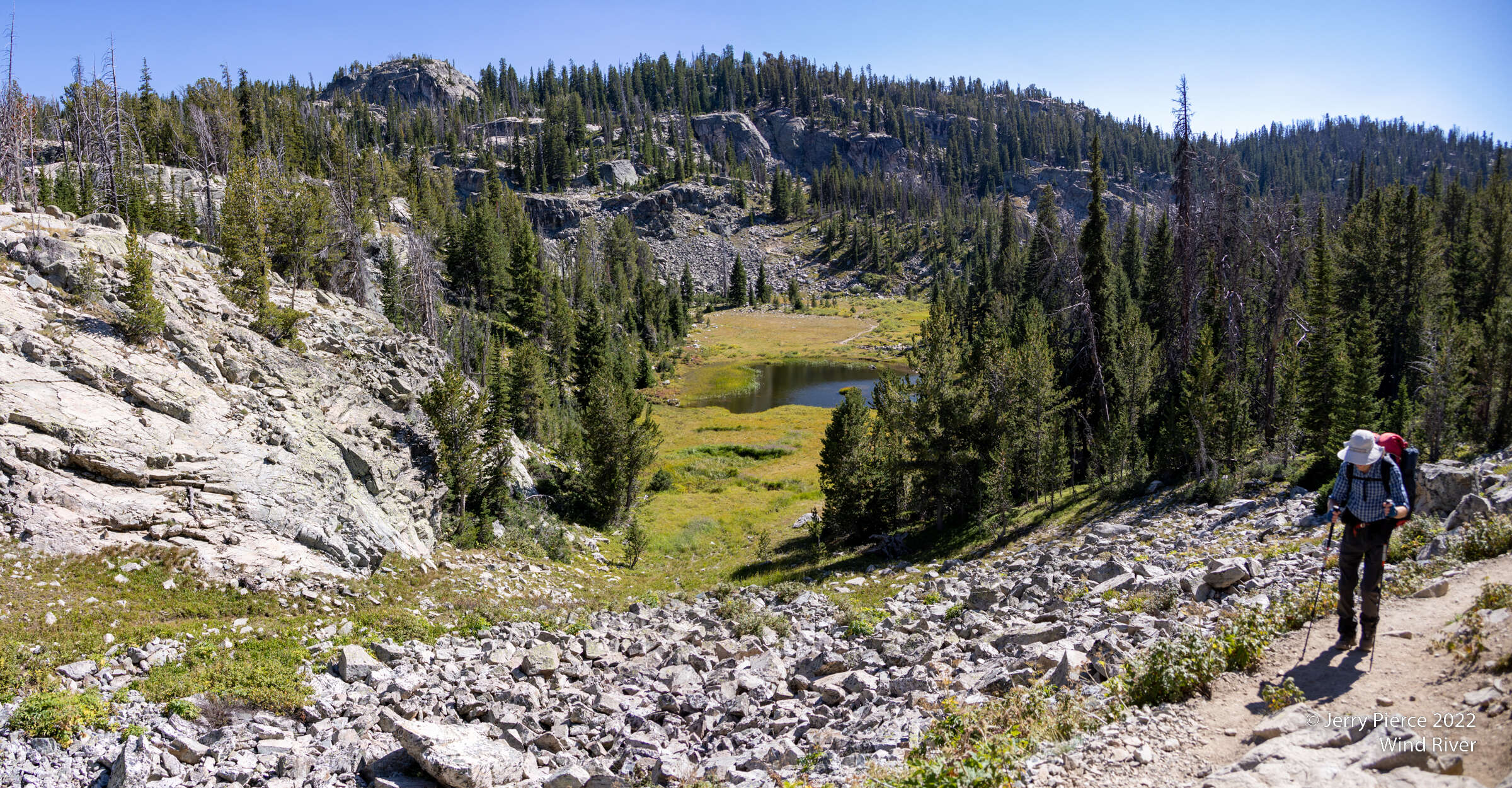
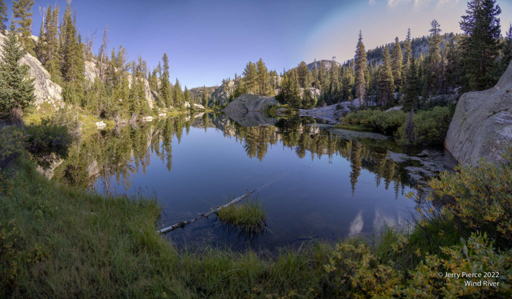
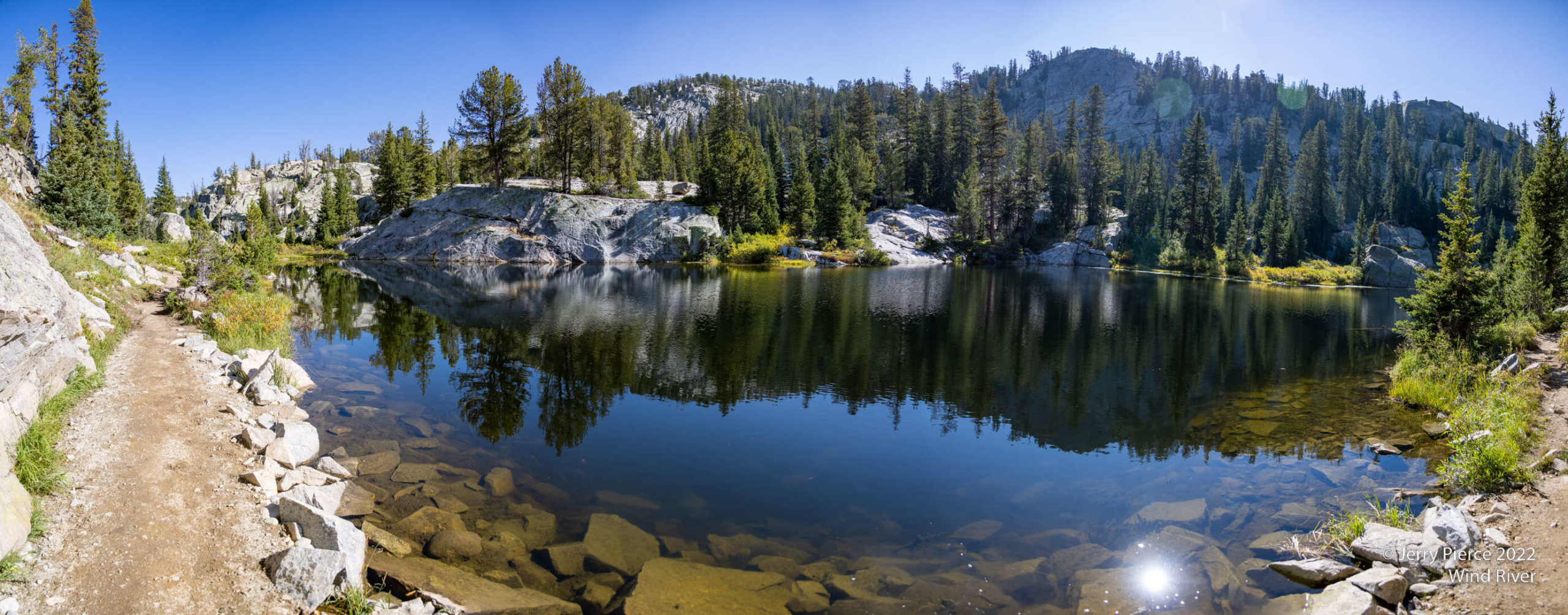
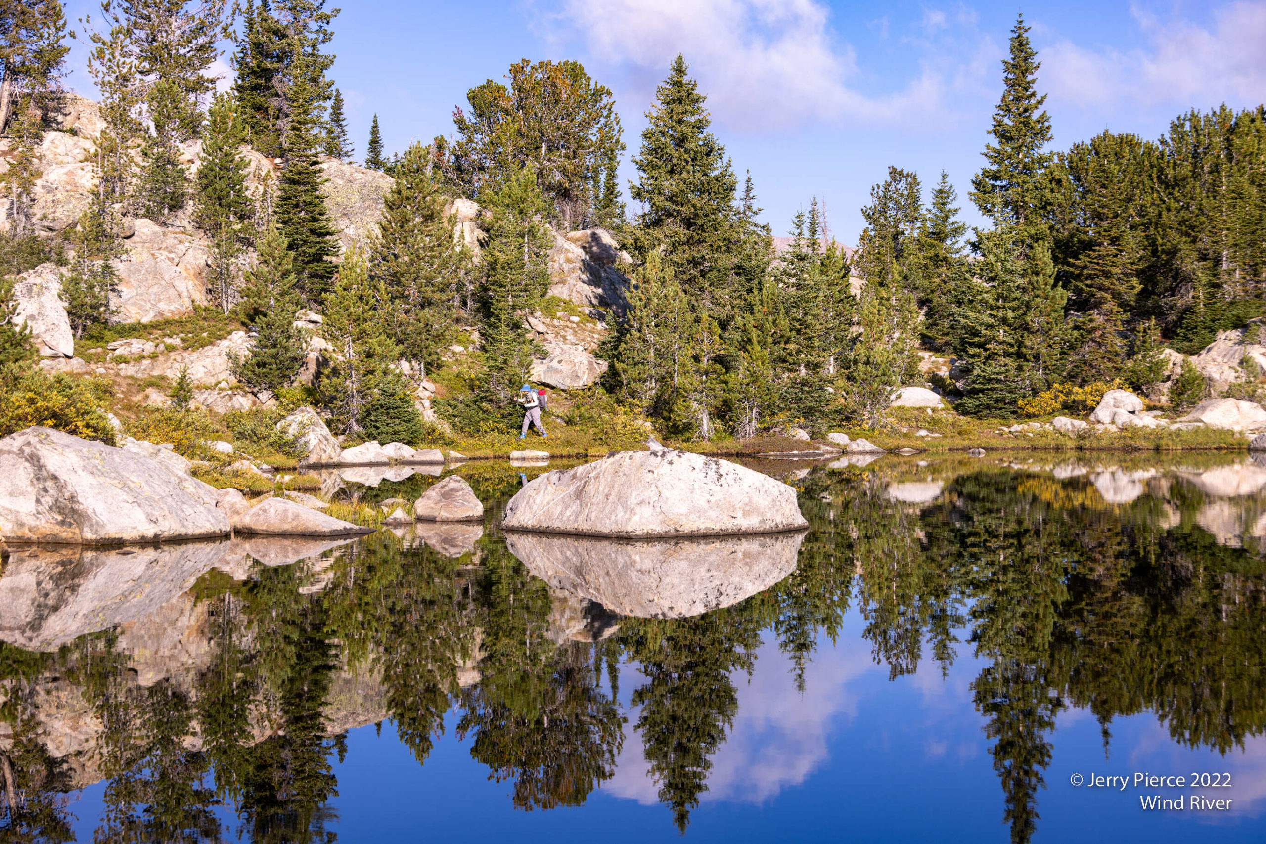
Our goal was to reach Sapphire lake, just before the big Seneca Lake. On the way we get to see Barbara’s Lake..
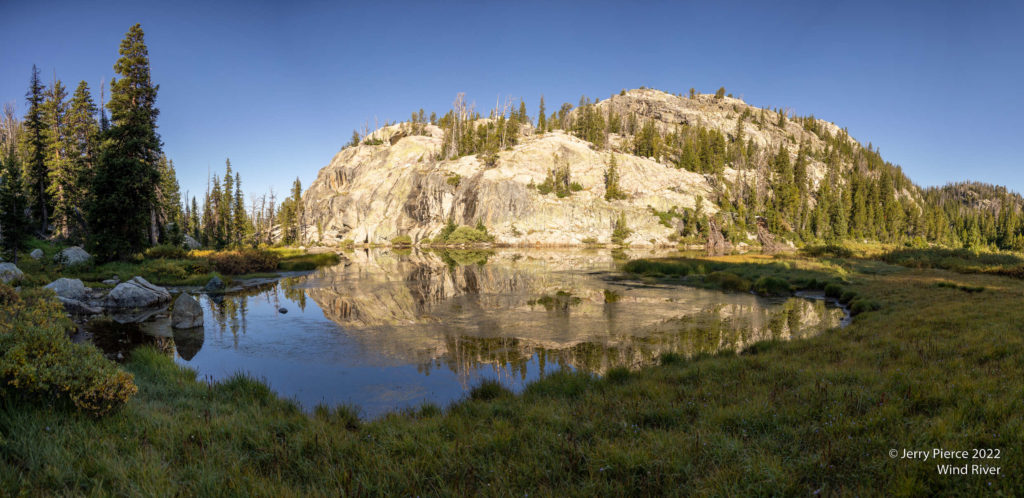
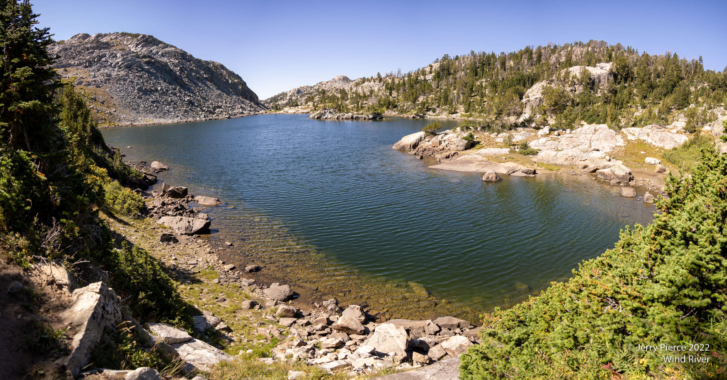
Barbara’s Lake
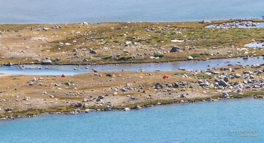
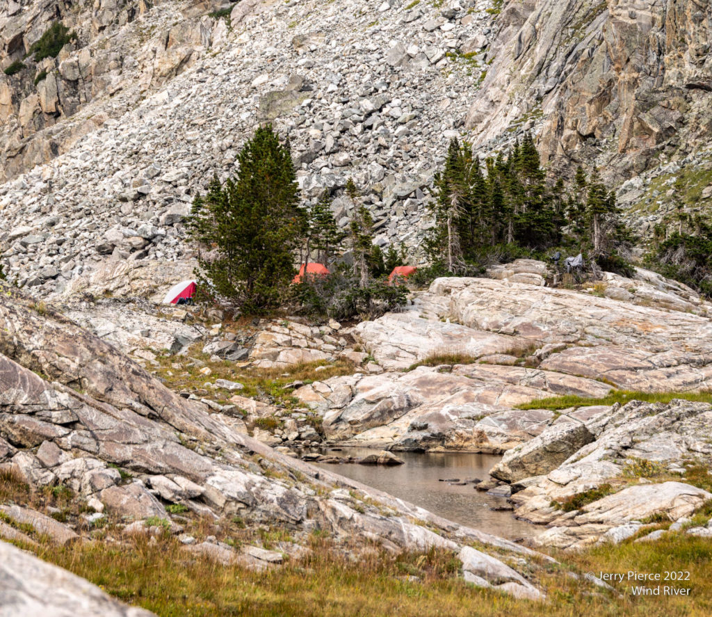
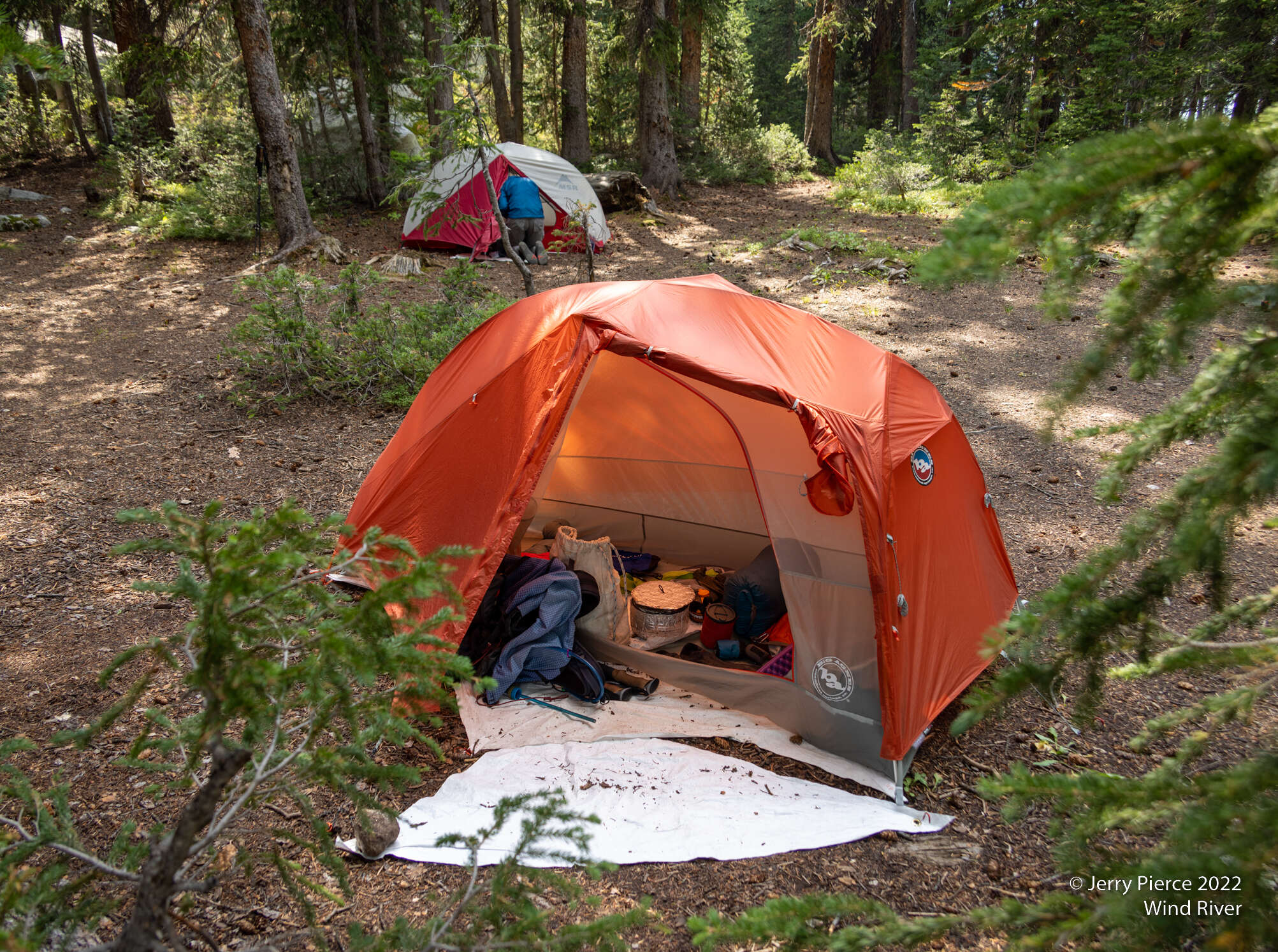
Sapphire lake primary spot was taken, but we found a nice place on the other side of the lake.
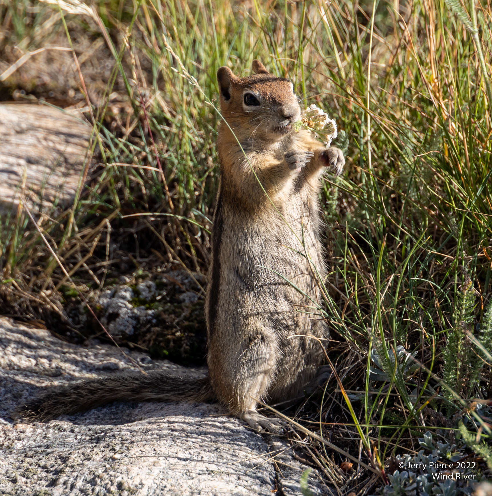
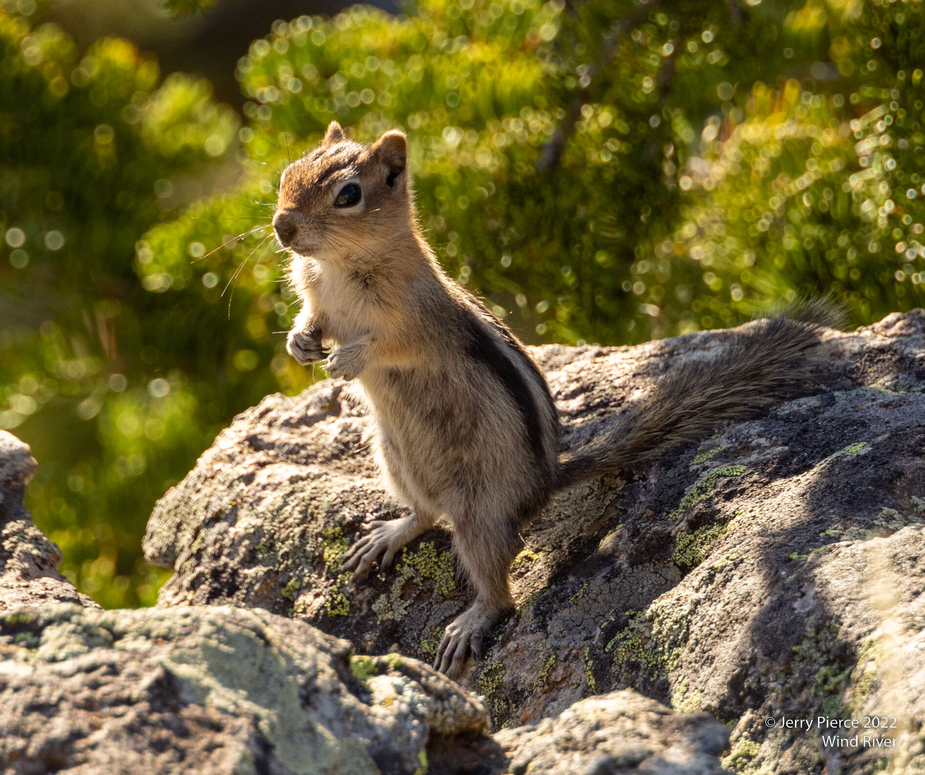
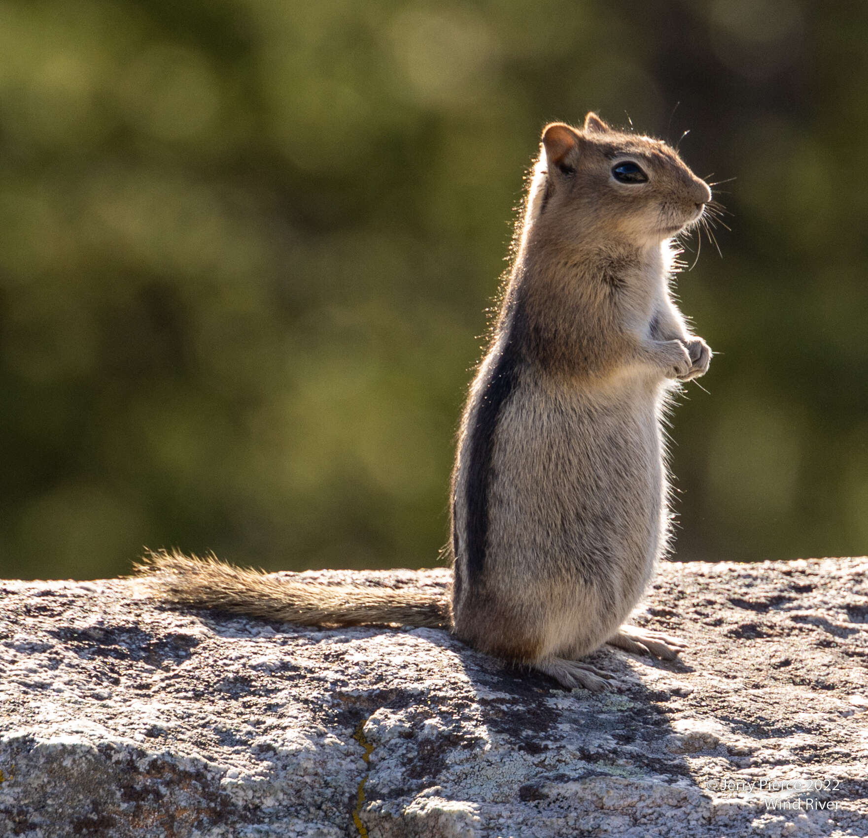
The chipmunks here were not very scared and very busy eating and gathering food…
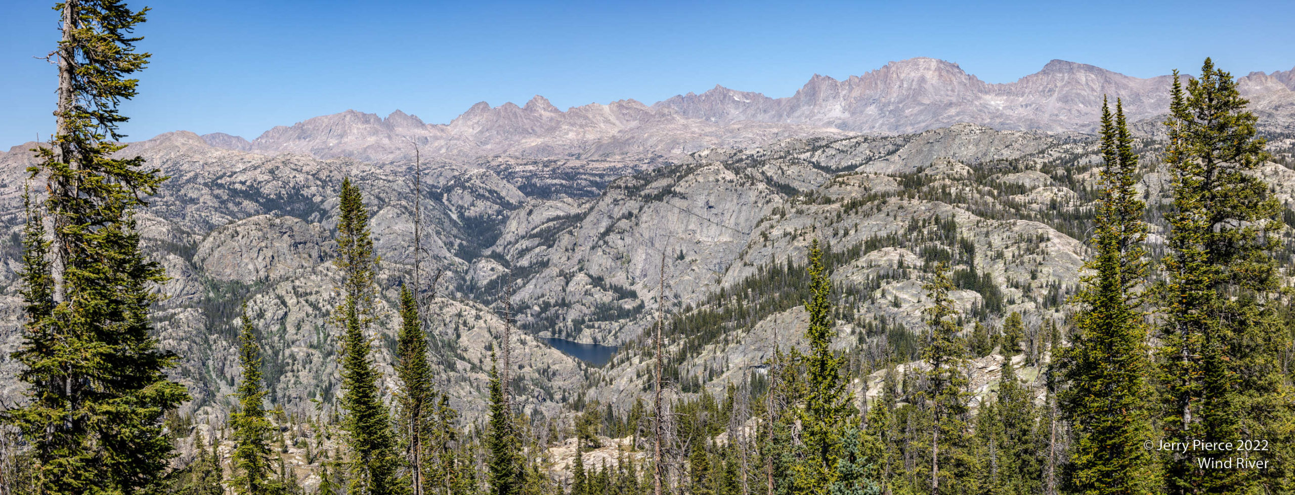
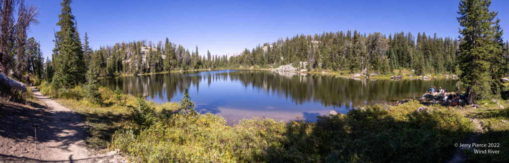
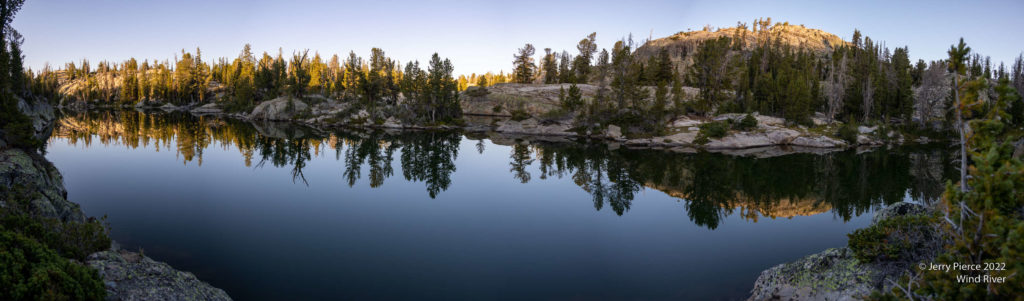
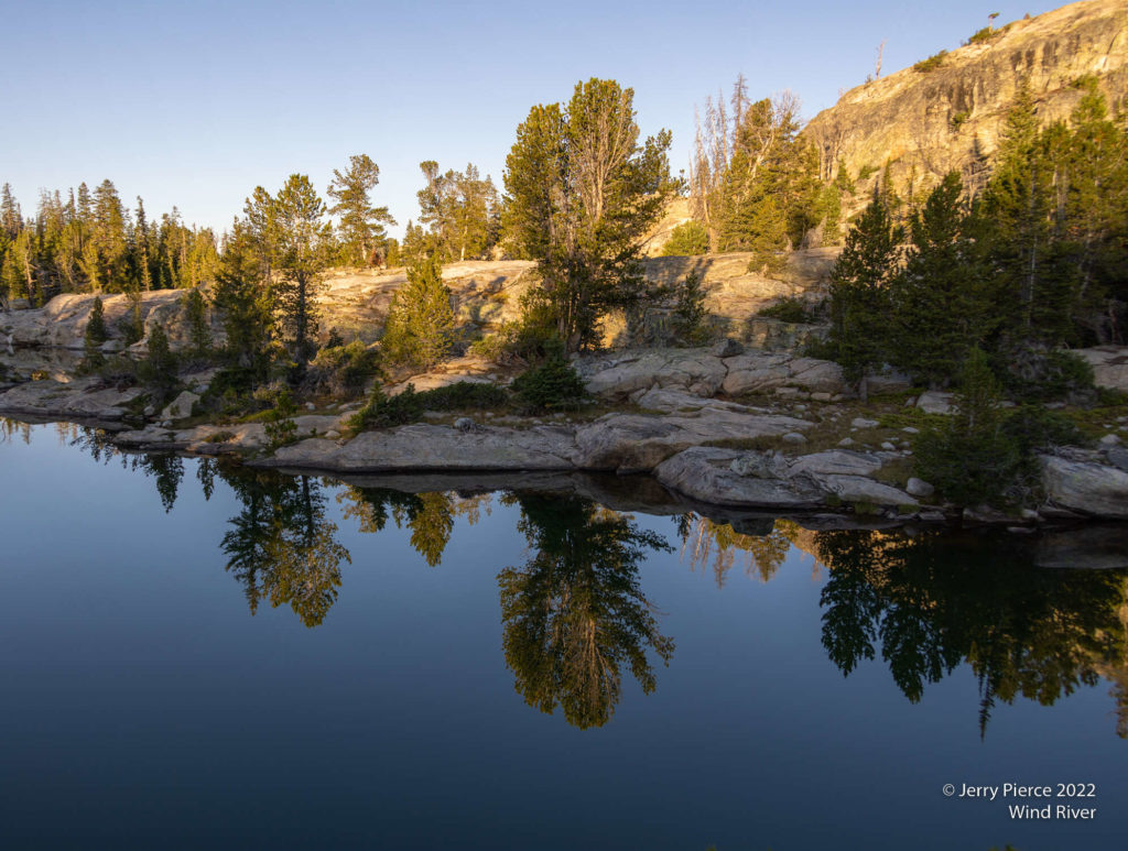
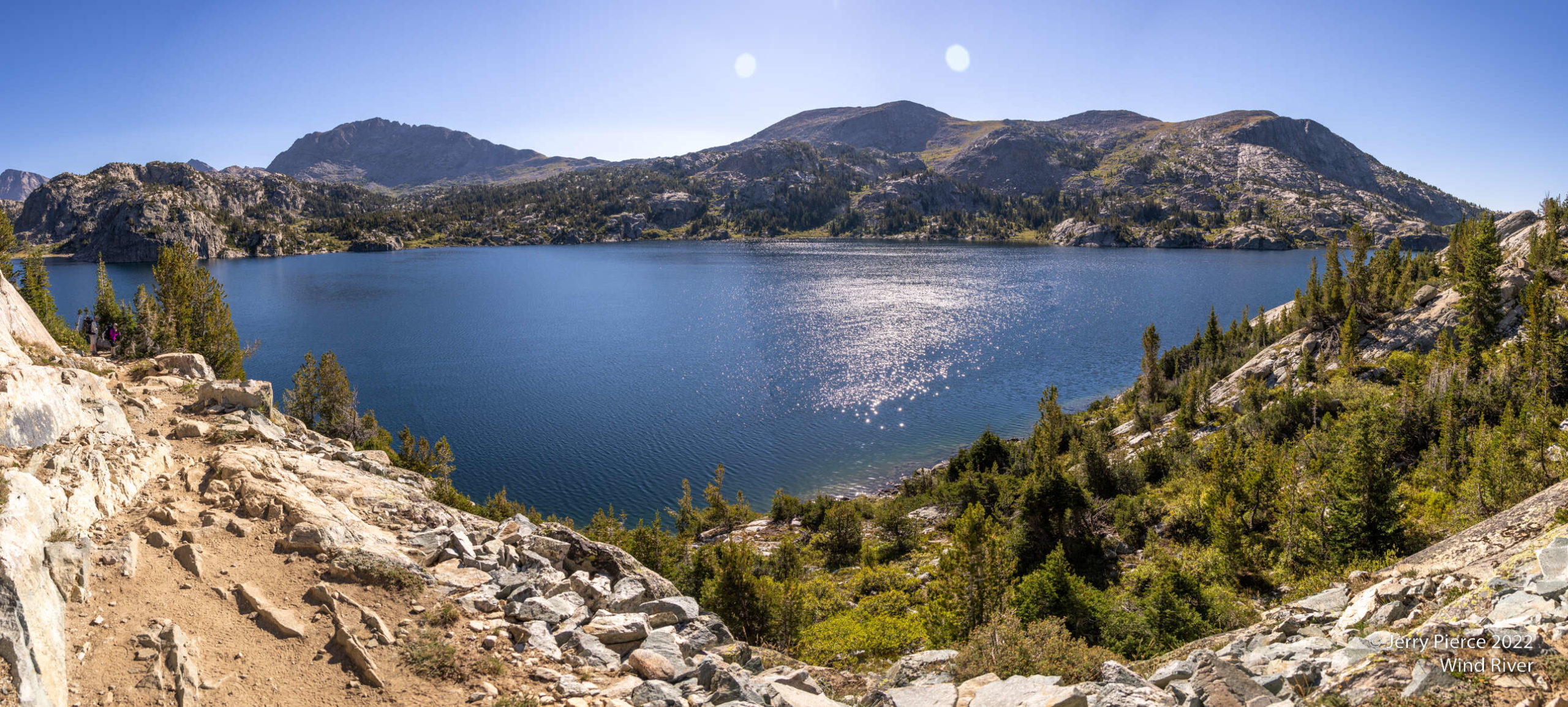
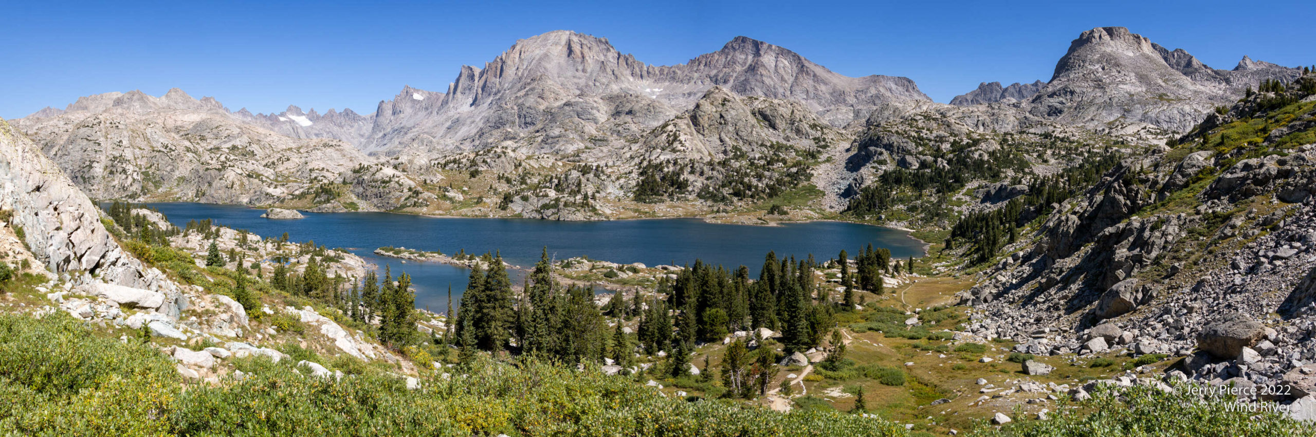
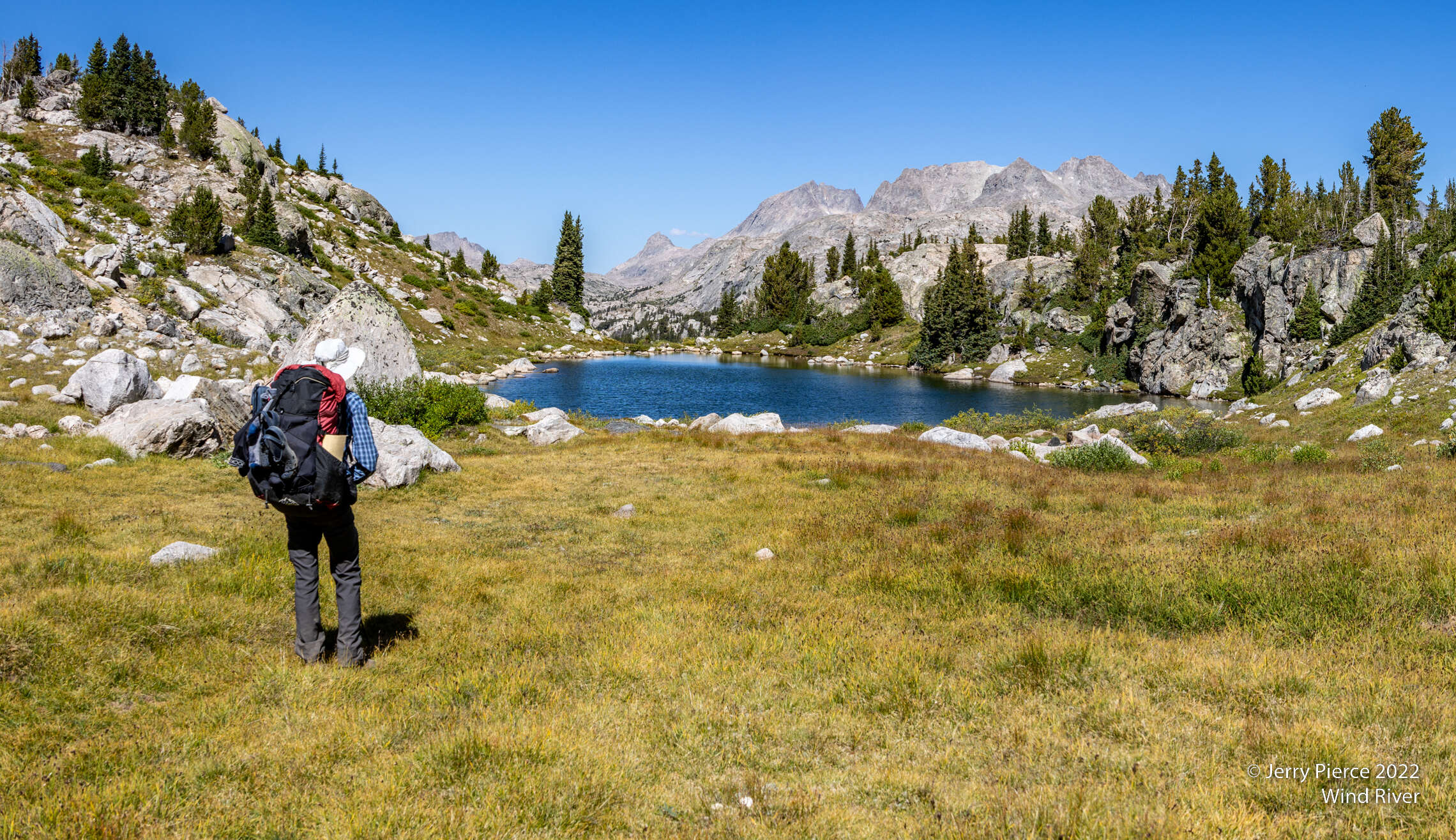
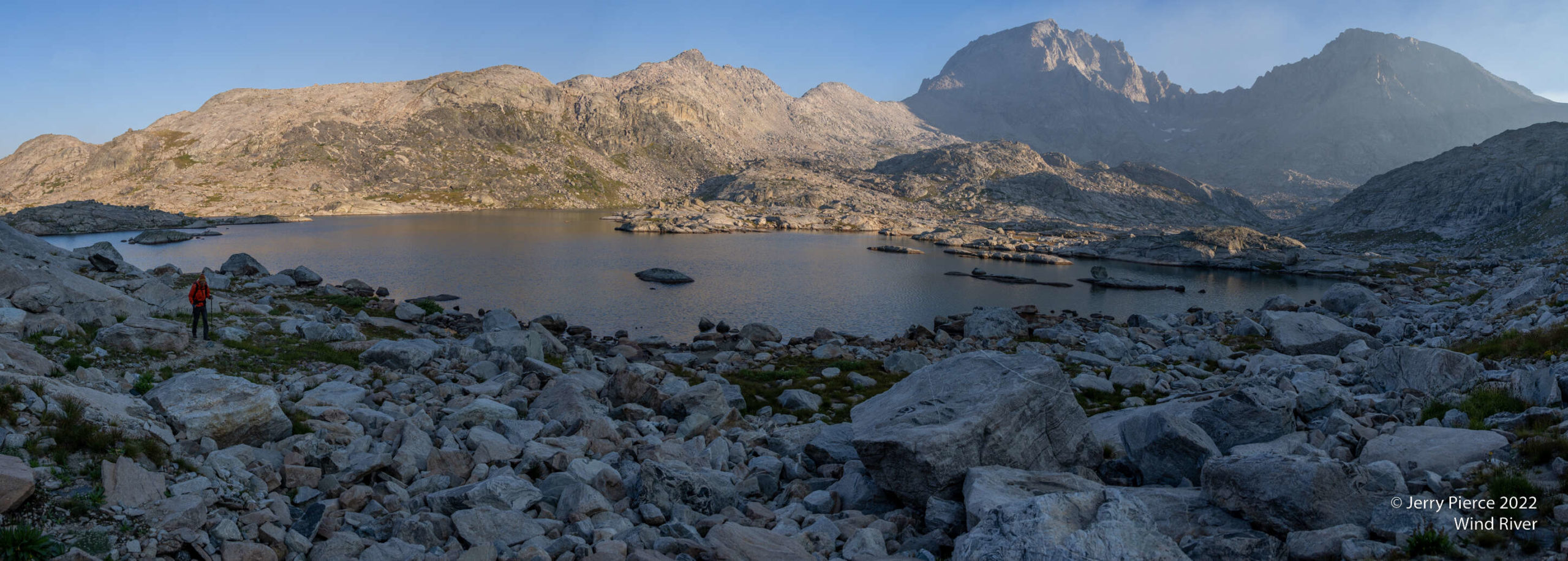
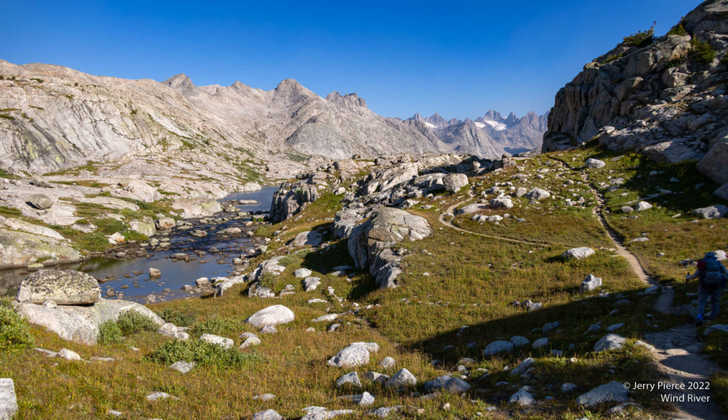
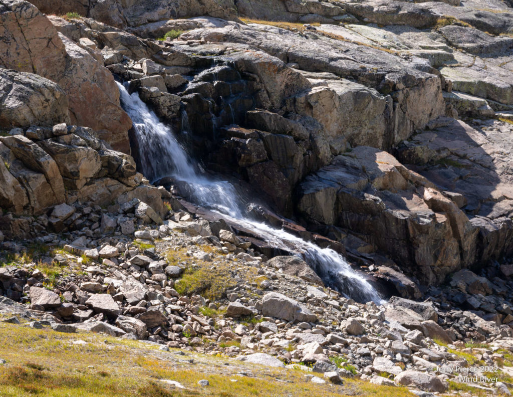
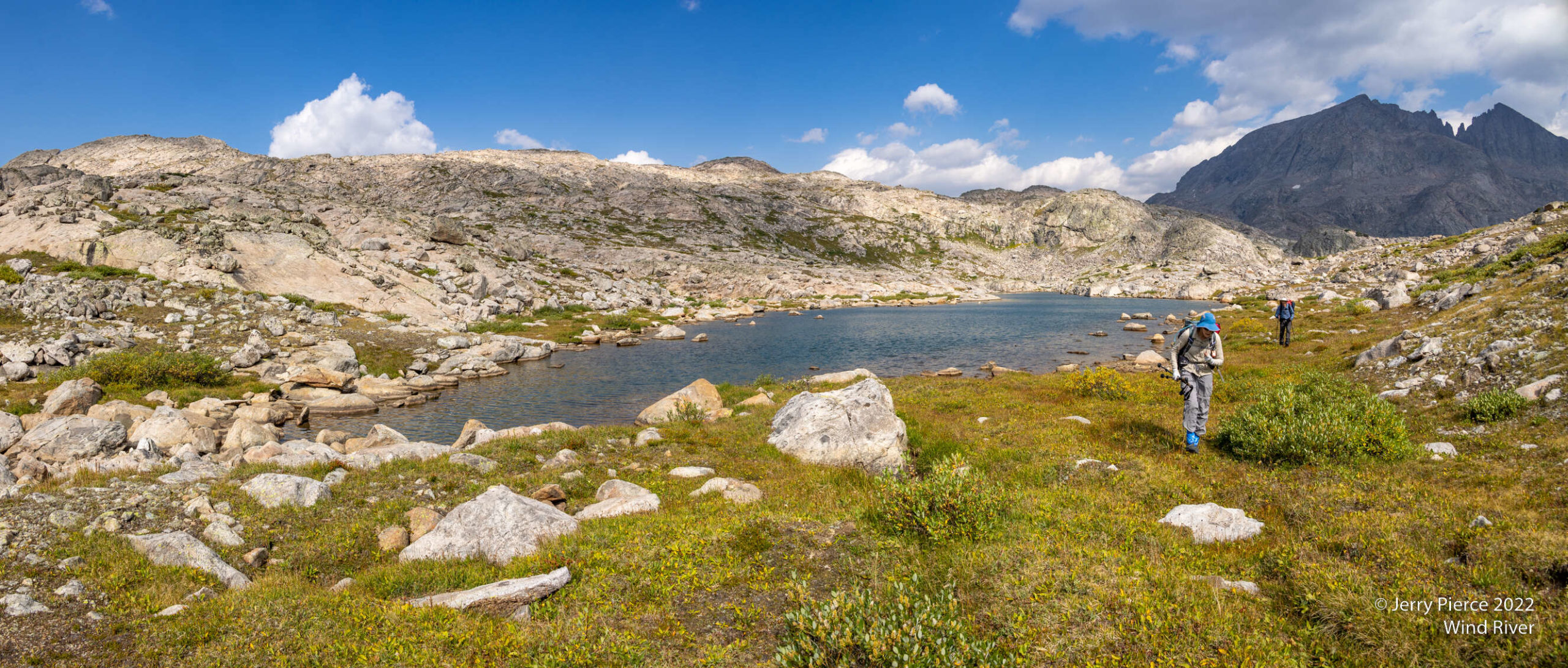
Day two went past Seneca Lake, Island Lake and on to Indian Basin. Wind River has LOTS of lakes and ponds.
Seneca Lake
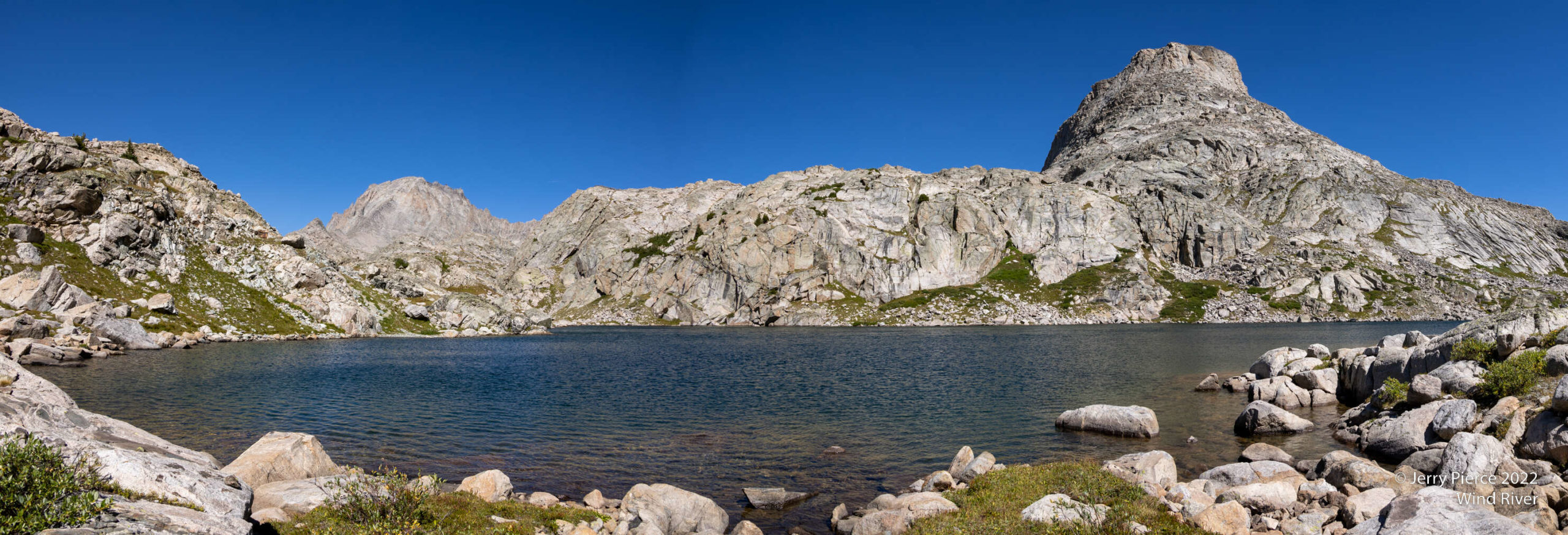
Island Lake
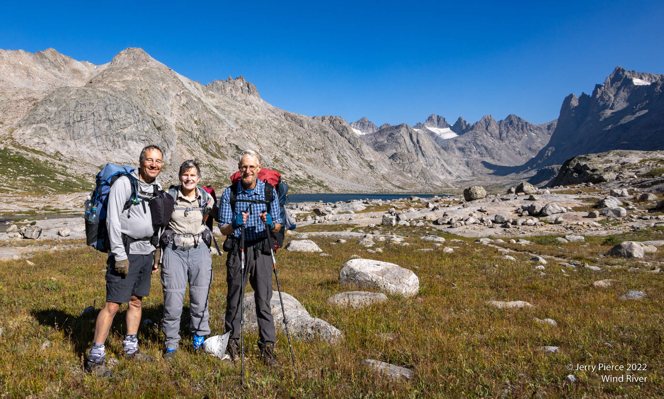
We stayed in Indian Basin, behind Elephant Head mountain.
Sunset on Elephant Head mountain from our campsite
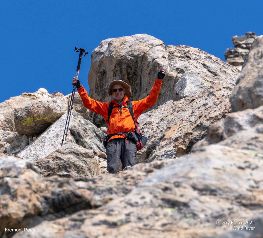
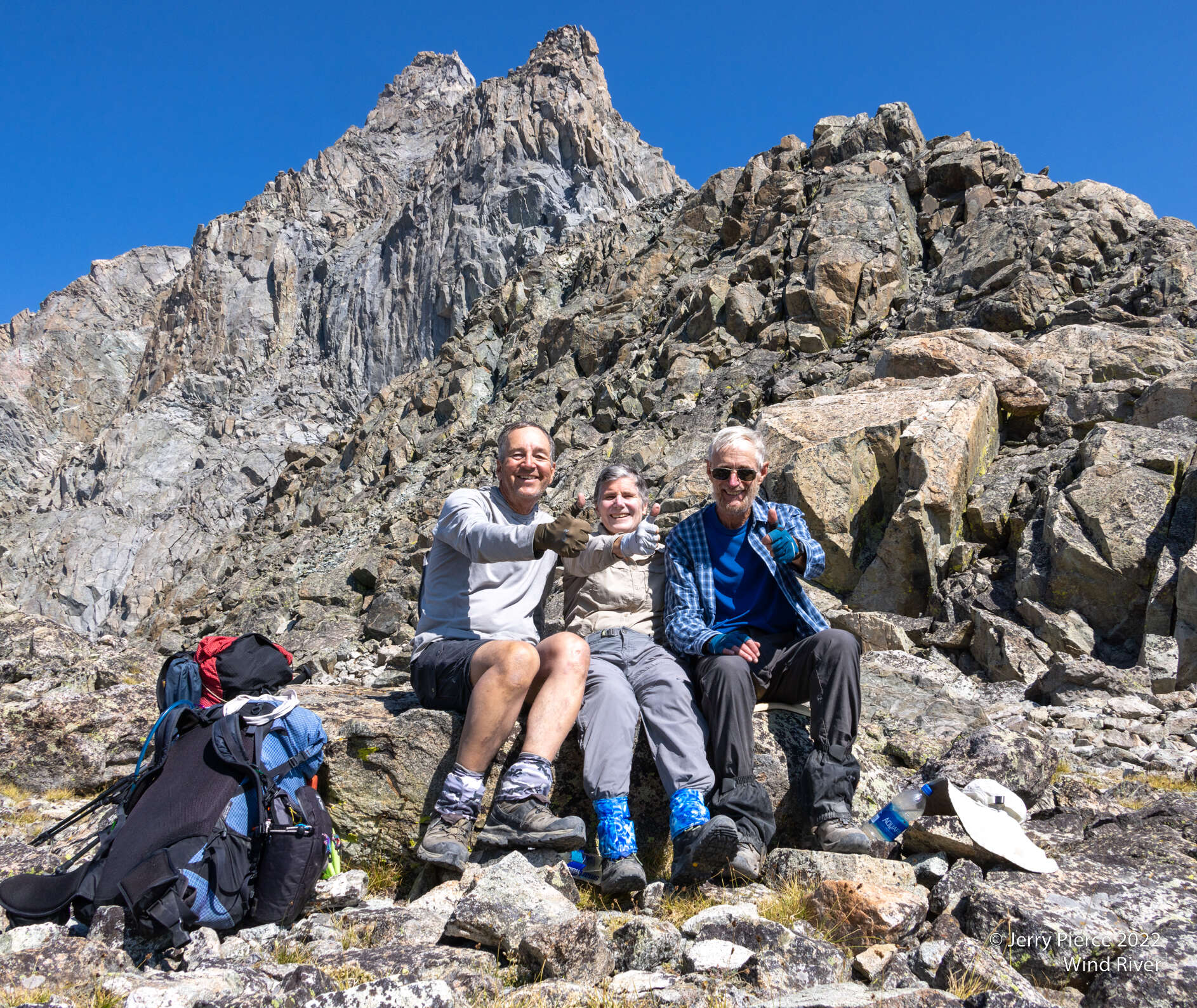
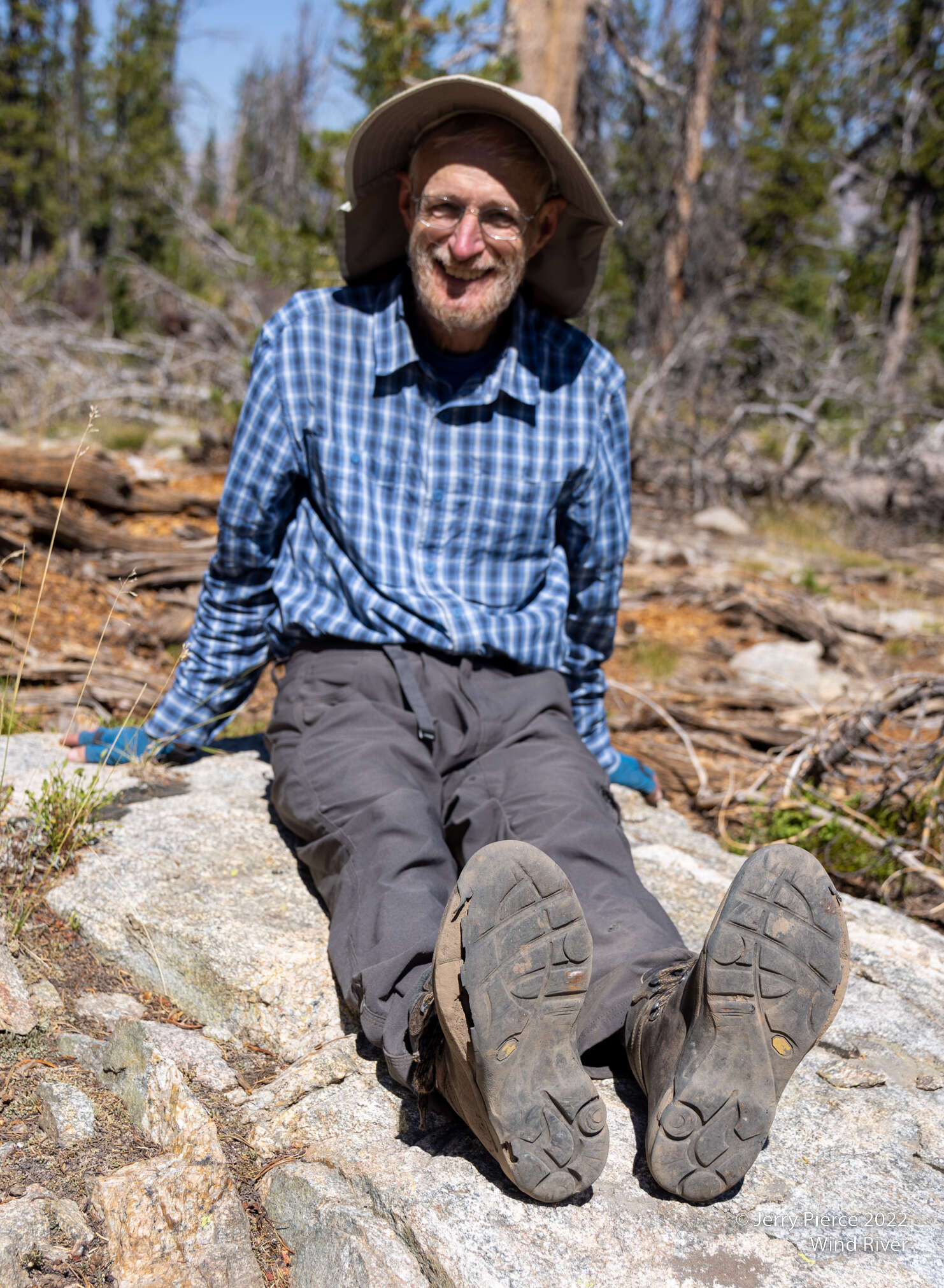
Two nights at the campsite so we could do a long day hike. Pat went up to Indian Pass and Jerry/Scott went to peak Fremont Mountain. Well more accurately Scott went to do the peak. Jerry found it was more to his liking to go half way then wait for Scott to finish the climb. Jerry is not a class 3 hiker.
Scott on his return from a successful summit
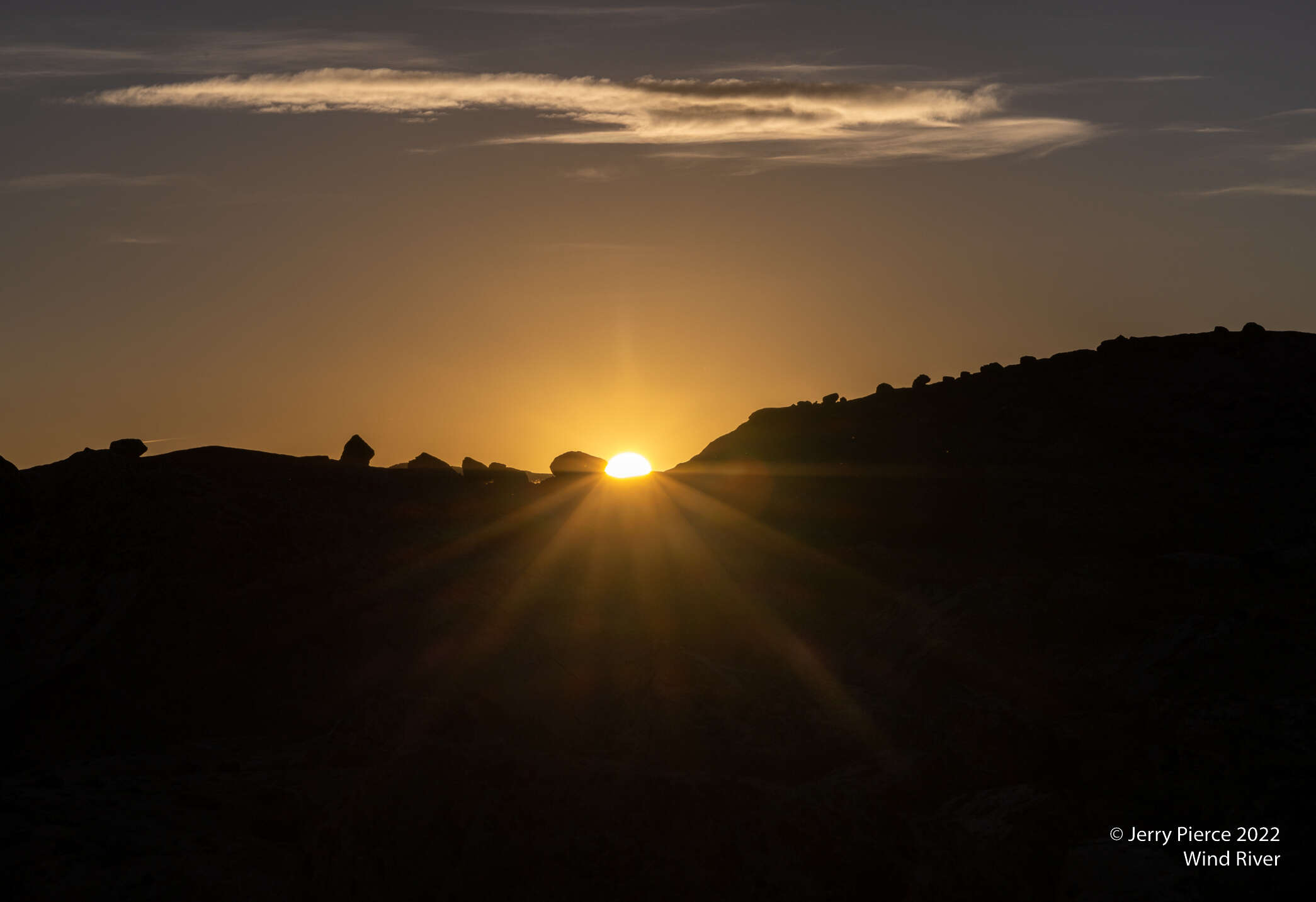
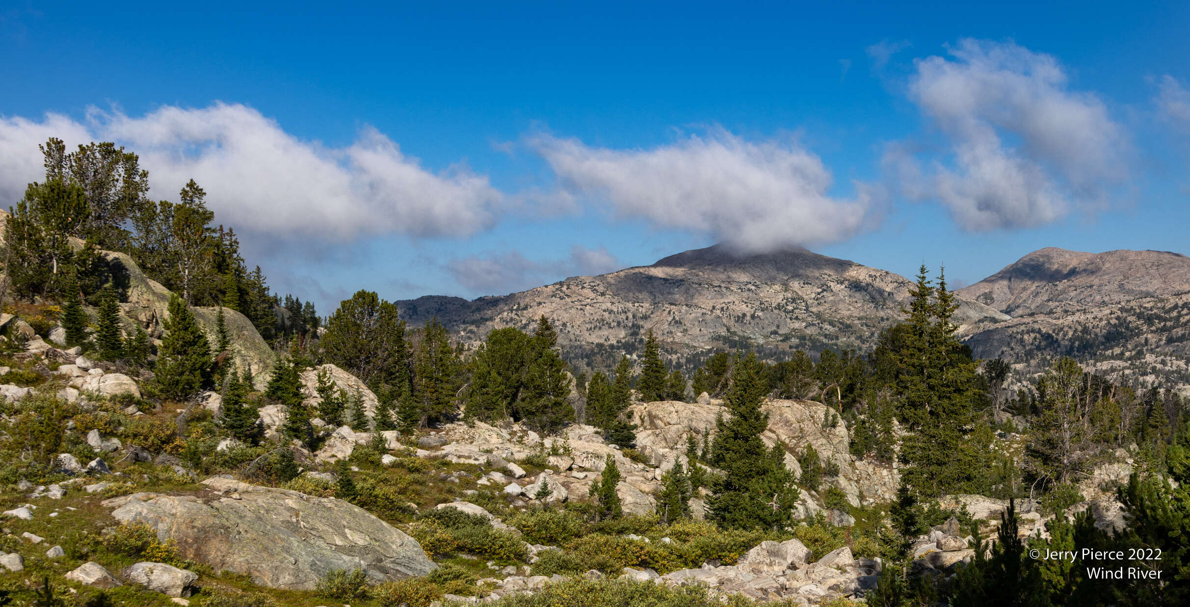
On departure it was smoky, but it didn’t last all day. We never figured out where the smoke was coming from.
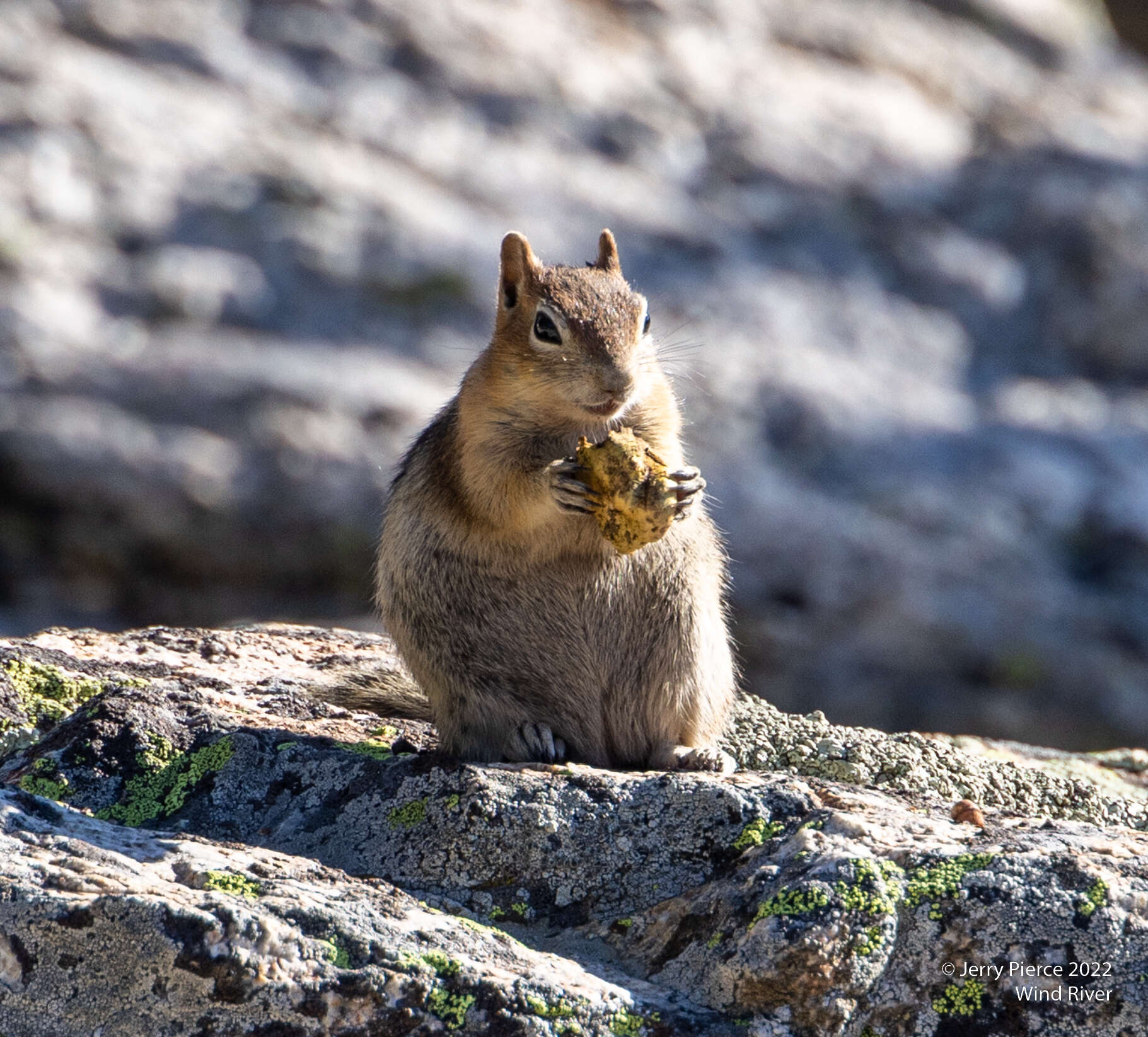
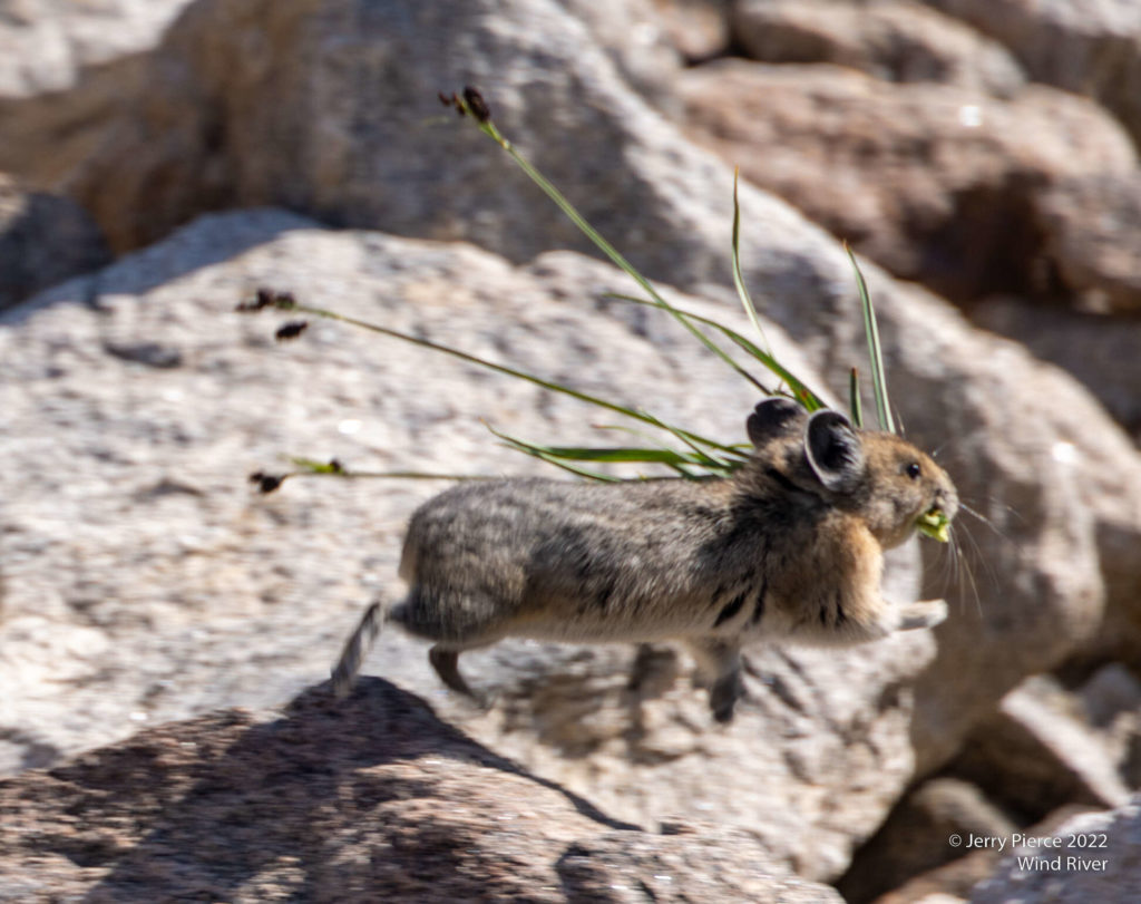
Being September, the animals were gathering food for the winter. Not only were the chipmunks filling up, the Pikas were doing the same.
Our Indian Basin campsite.
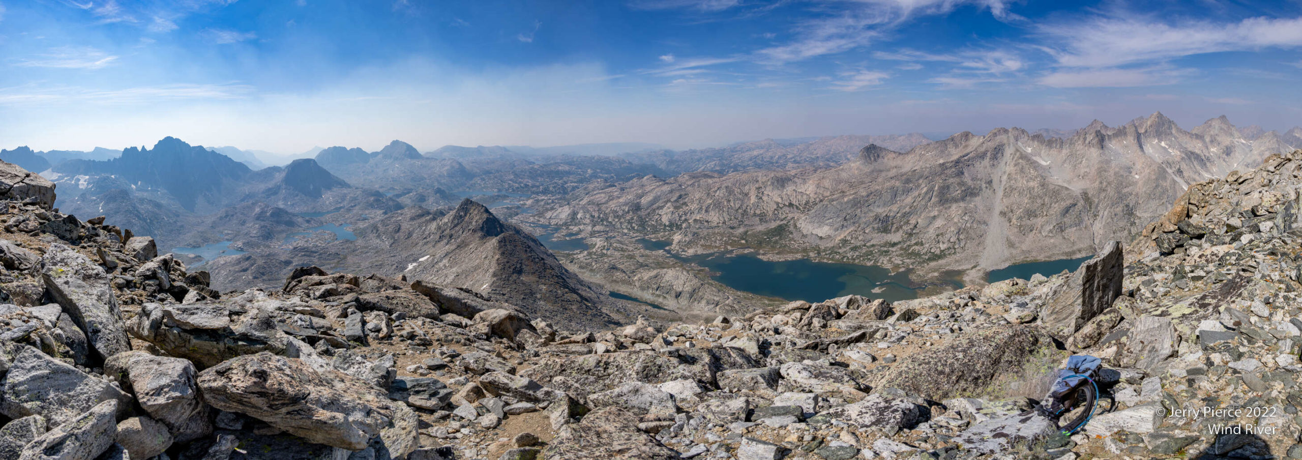
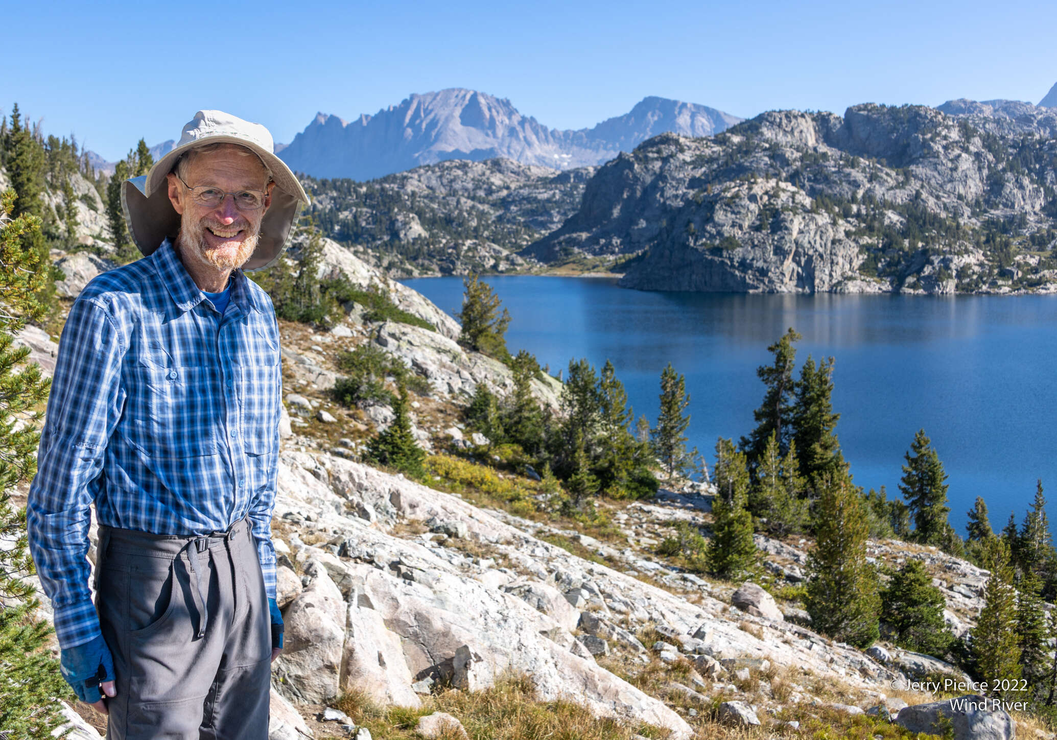
The view from Fremont peak was spectacular!
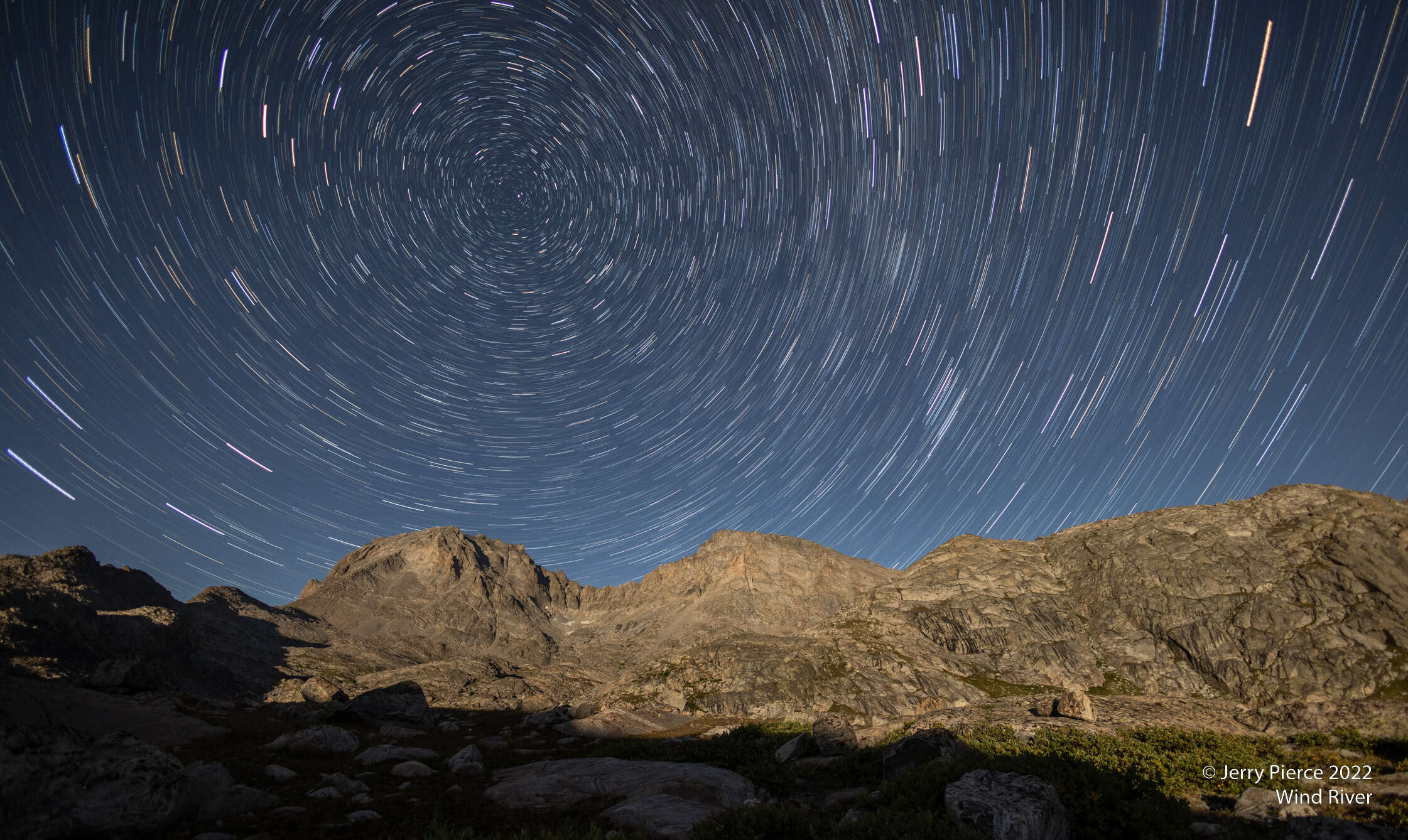
Not hard to find the North Star – if you are willing to wait 30 minutes!
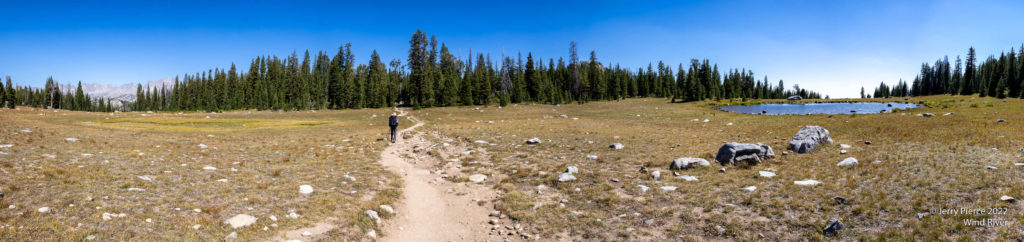
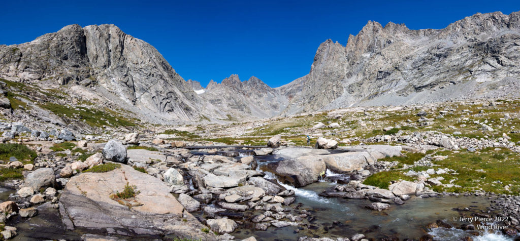
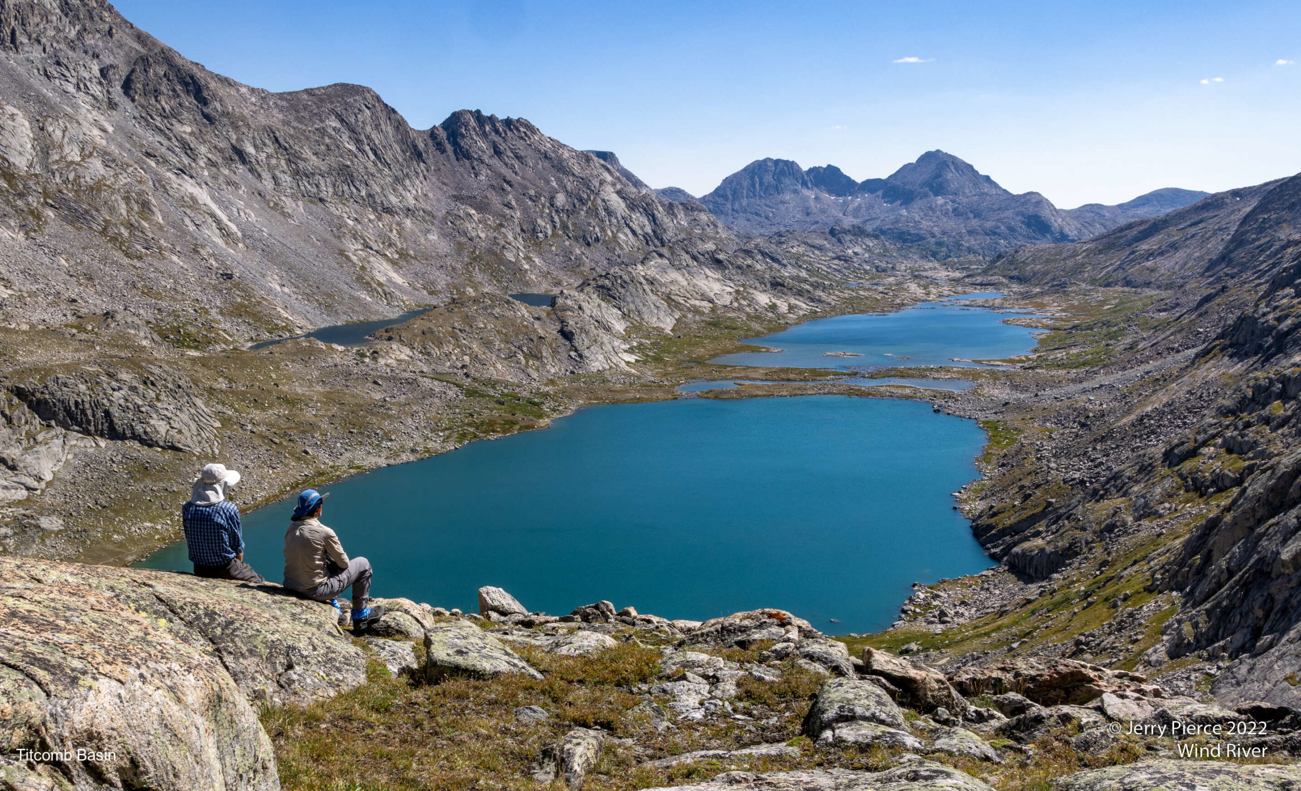
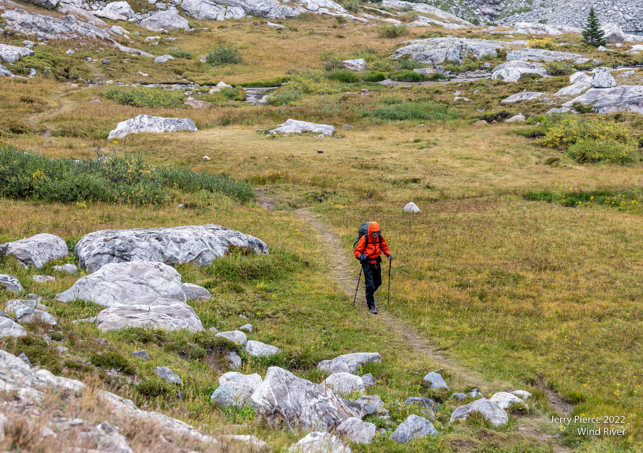
Next off to our main goal: Titcomb Basin. A short hike from Indian Basin
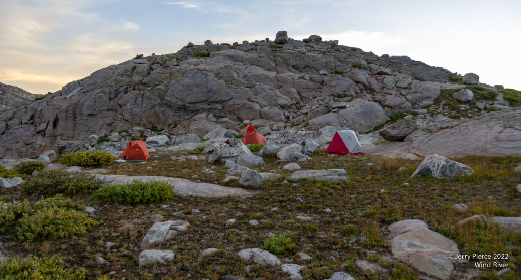
Our campsite between the two big lakes of Titcomb Basin (taken from Summer Ice Lake)
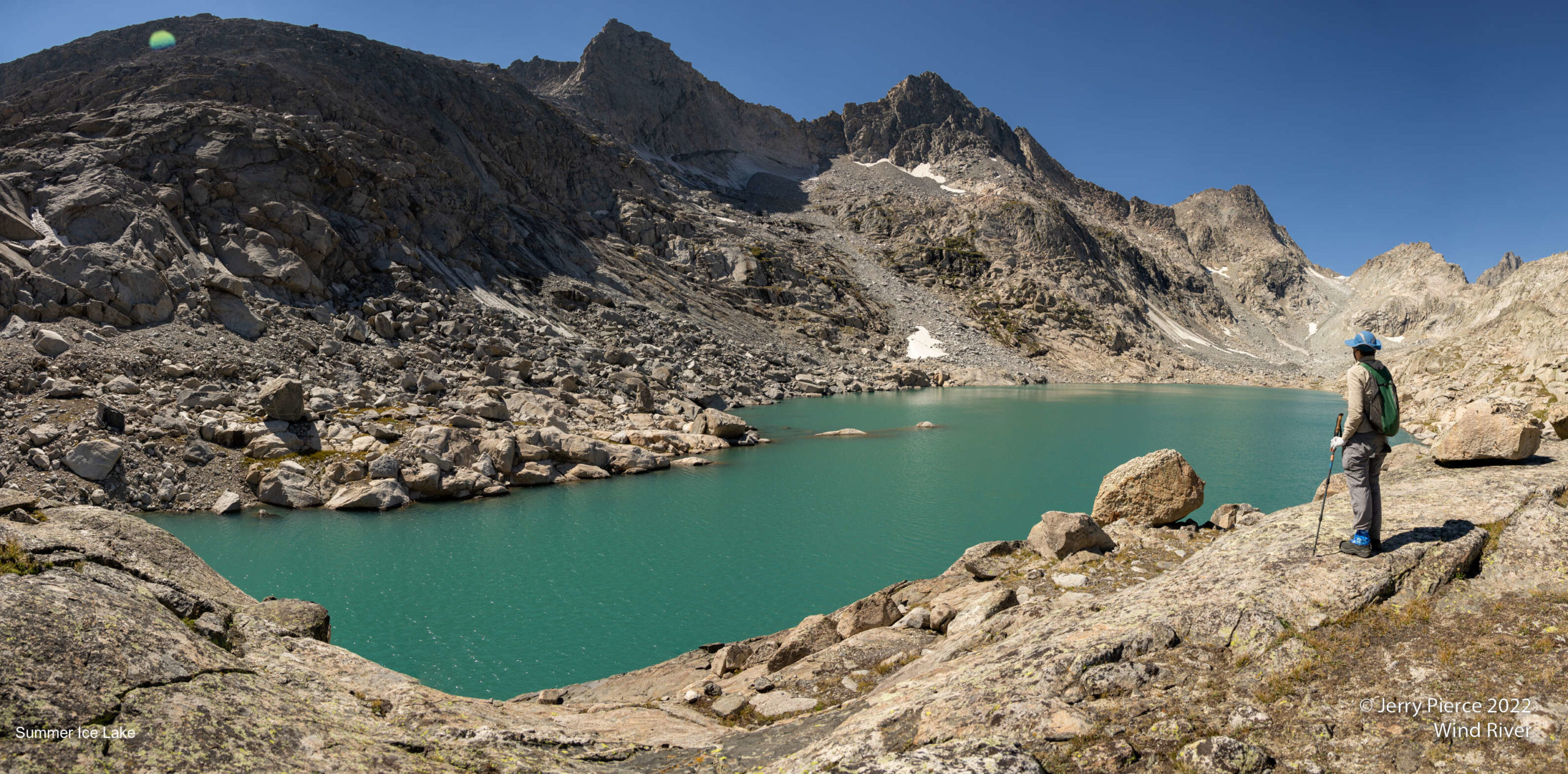
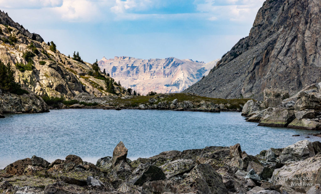
After our early arrival into camp, we took a day hike to “Summer Ice” lake. We crossed this stream and went up to the left to the lake. We had reports about the lake, but unconfirmed. Well, it was one of the most wonderful lakes and a place to really see Titcomb Basin!
At the start of Titcomb Basin
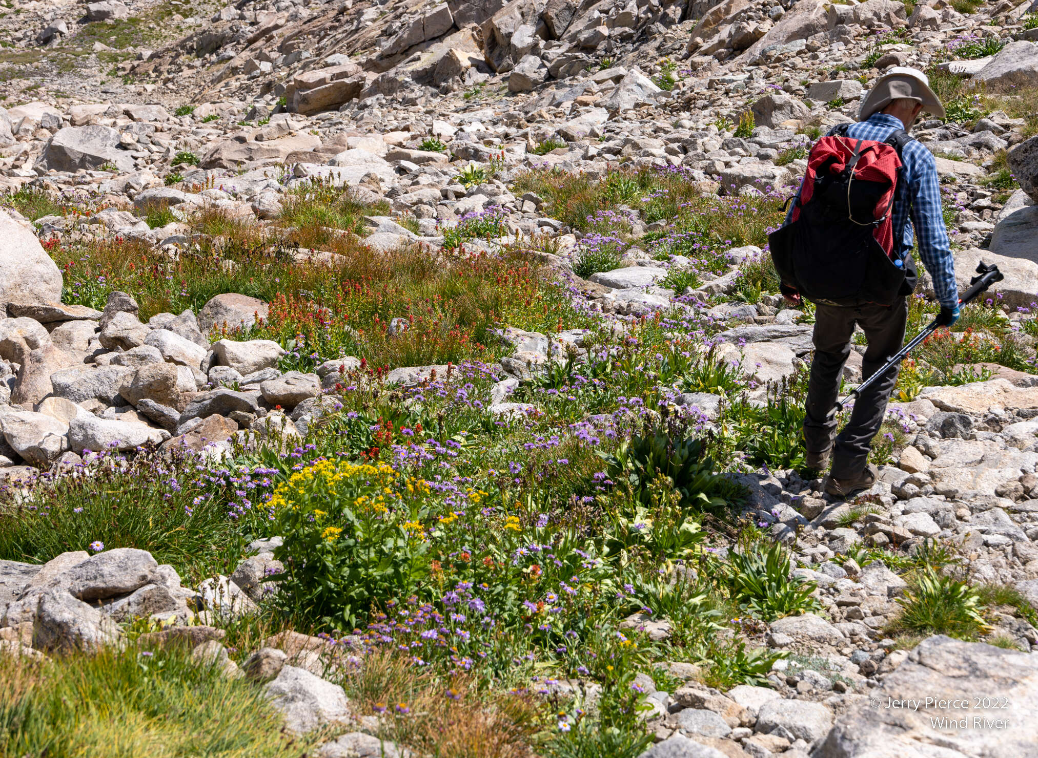
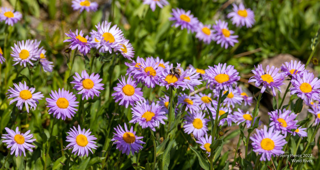
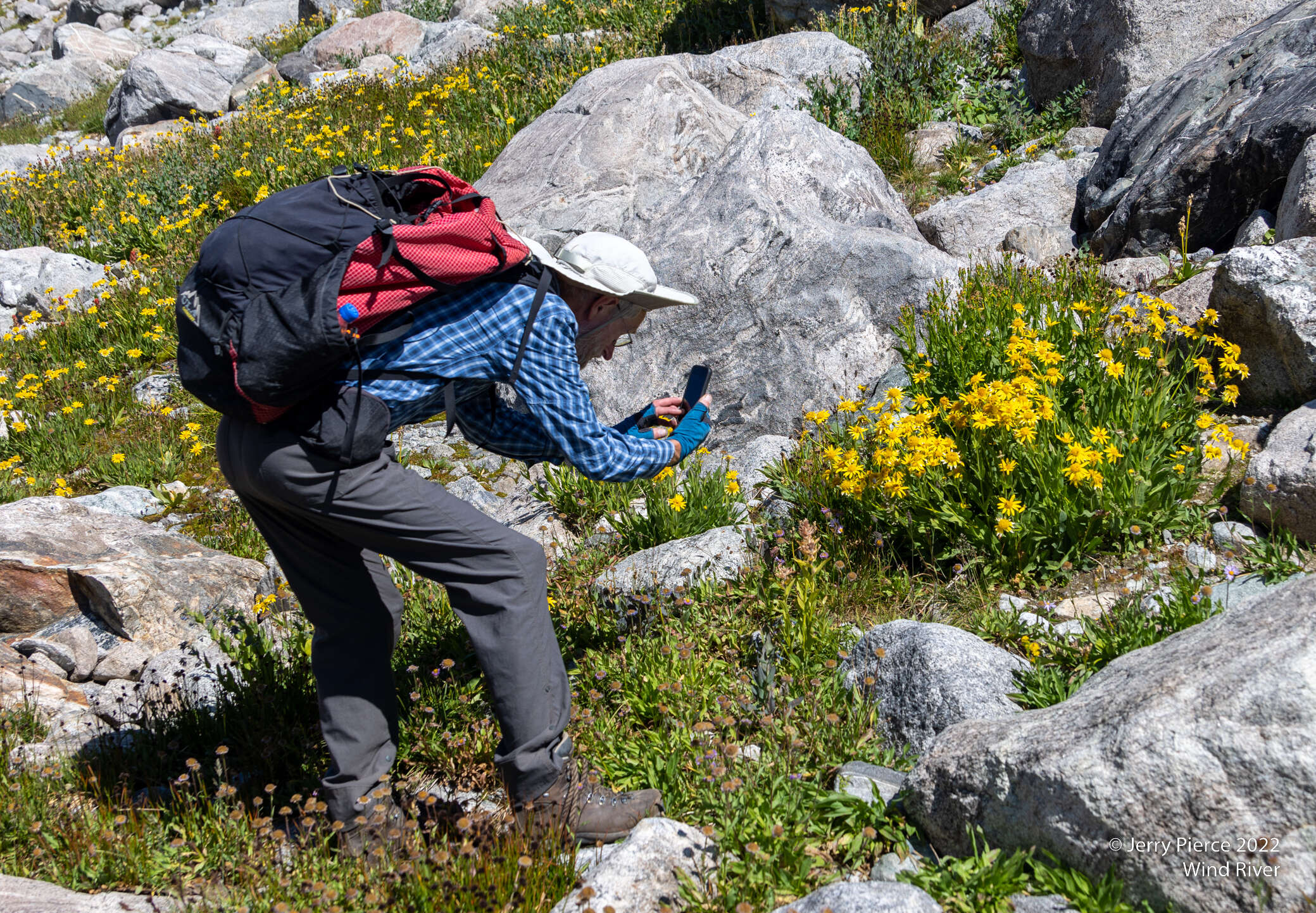
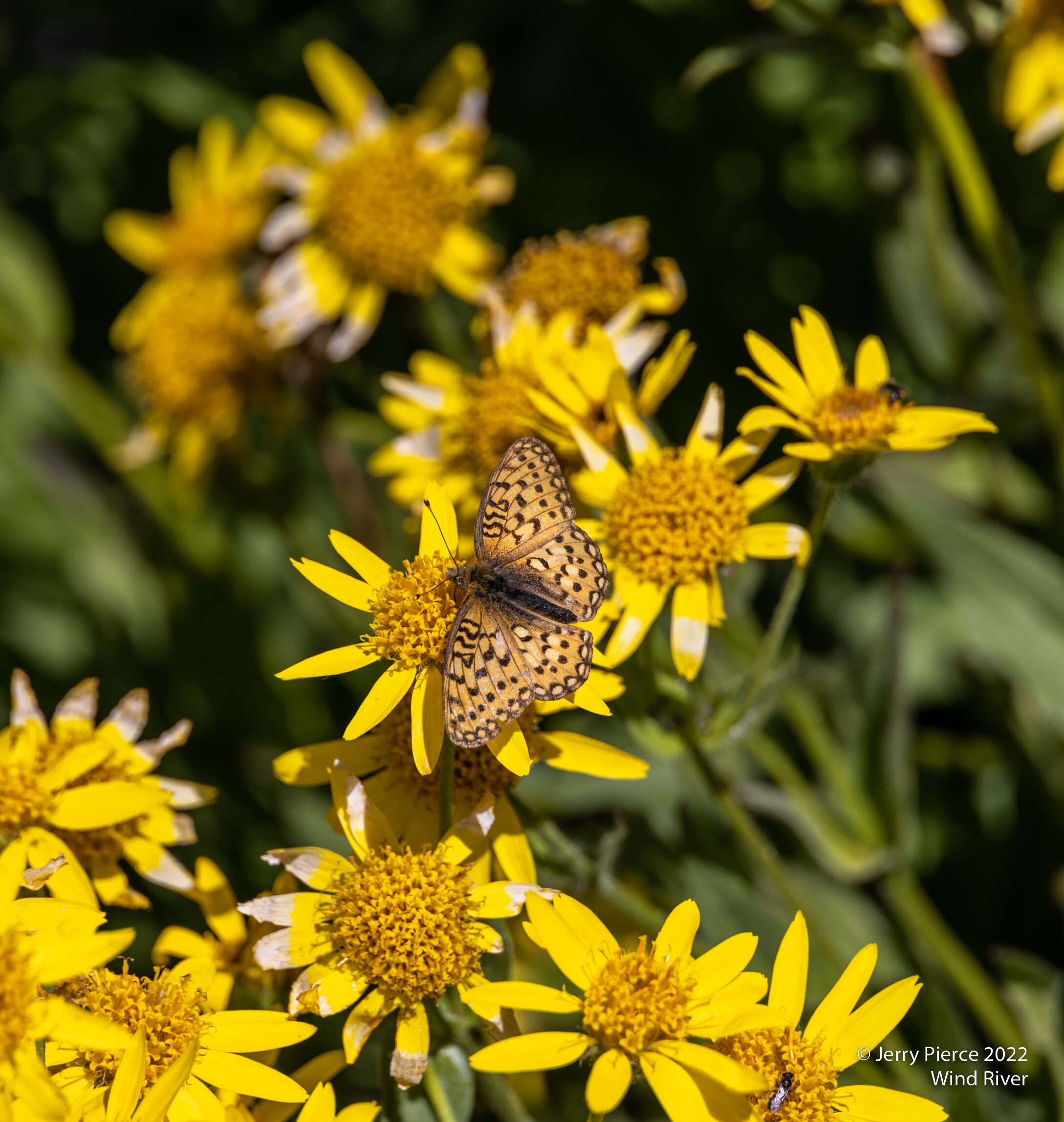
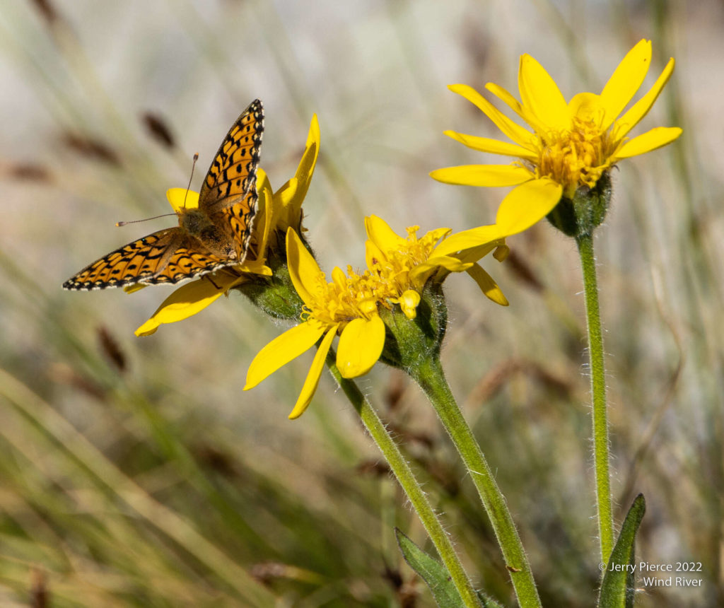
Not many flowers, but there were some next to the lake
Summer Ice Lake – yes, the color was a beautiful turquoise
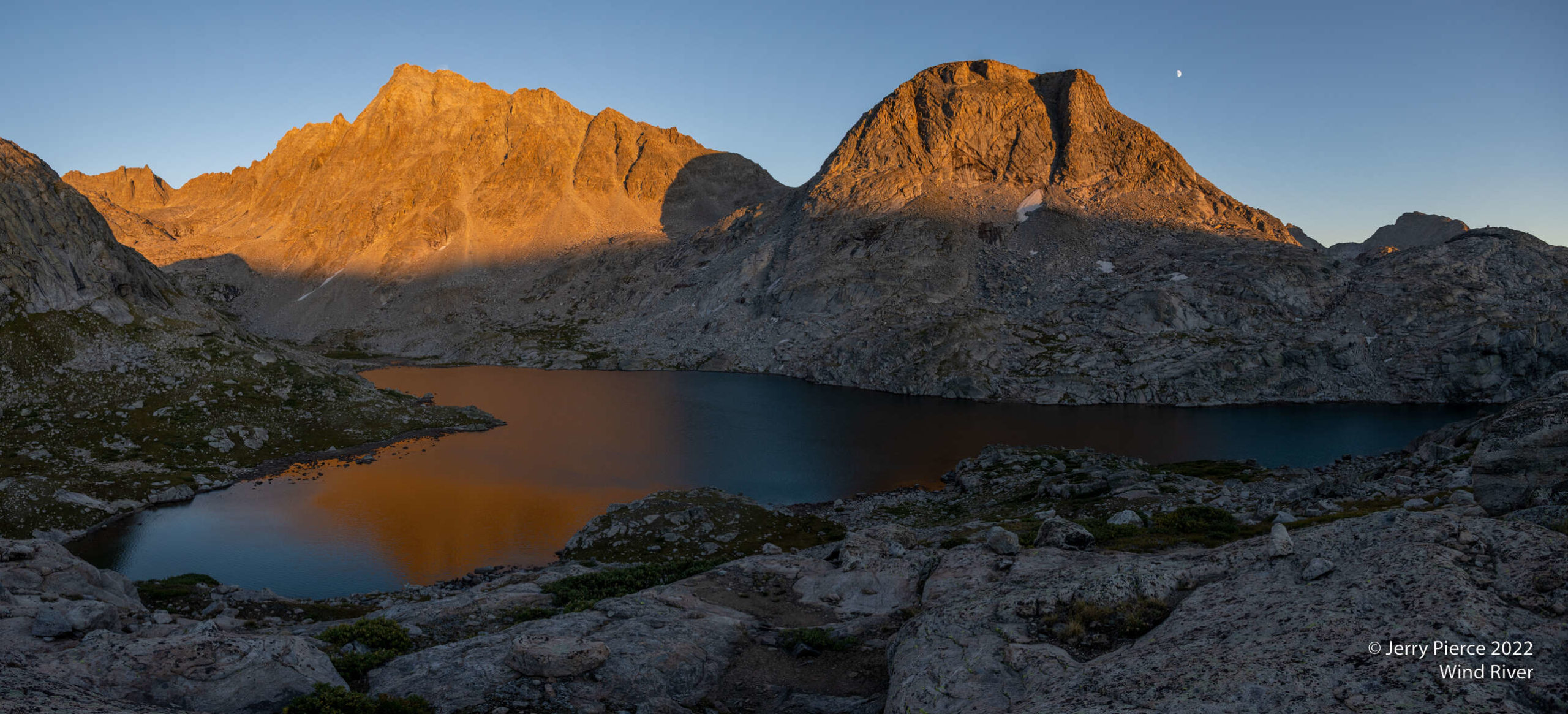
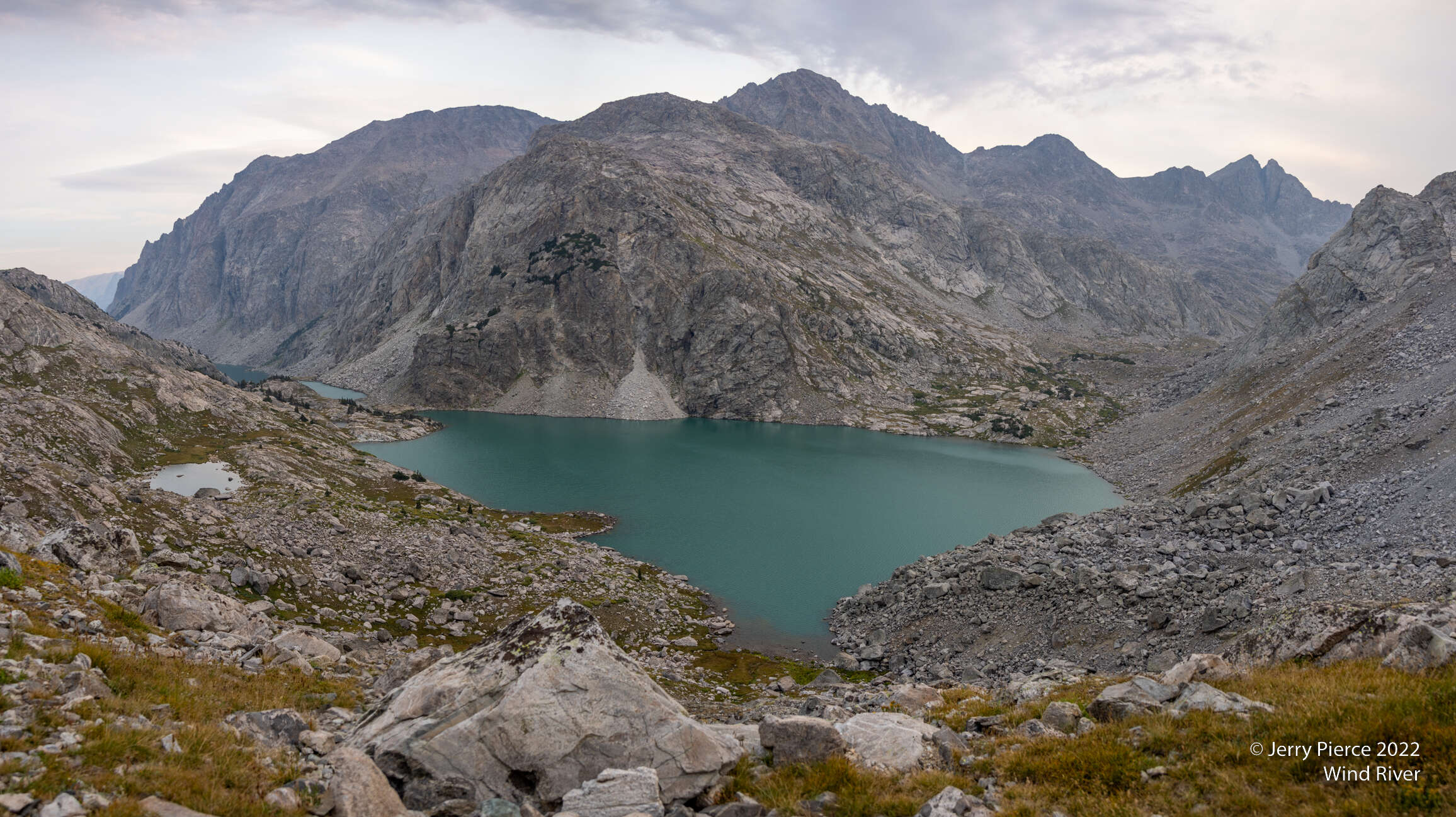
Titcomb Basin – our camp was between the two lakes
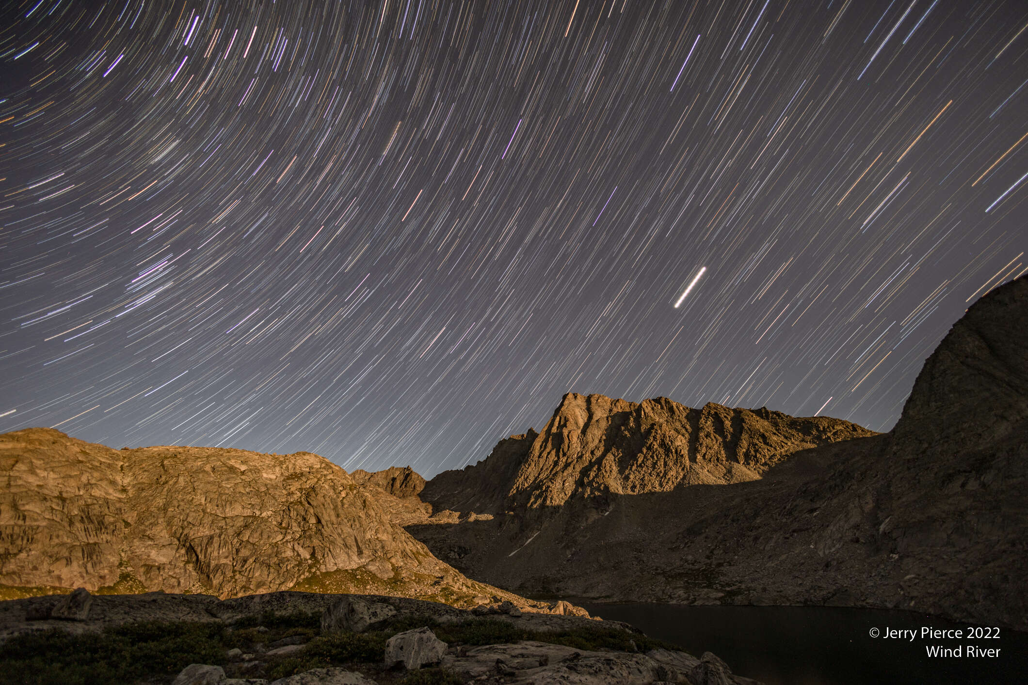
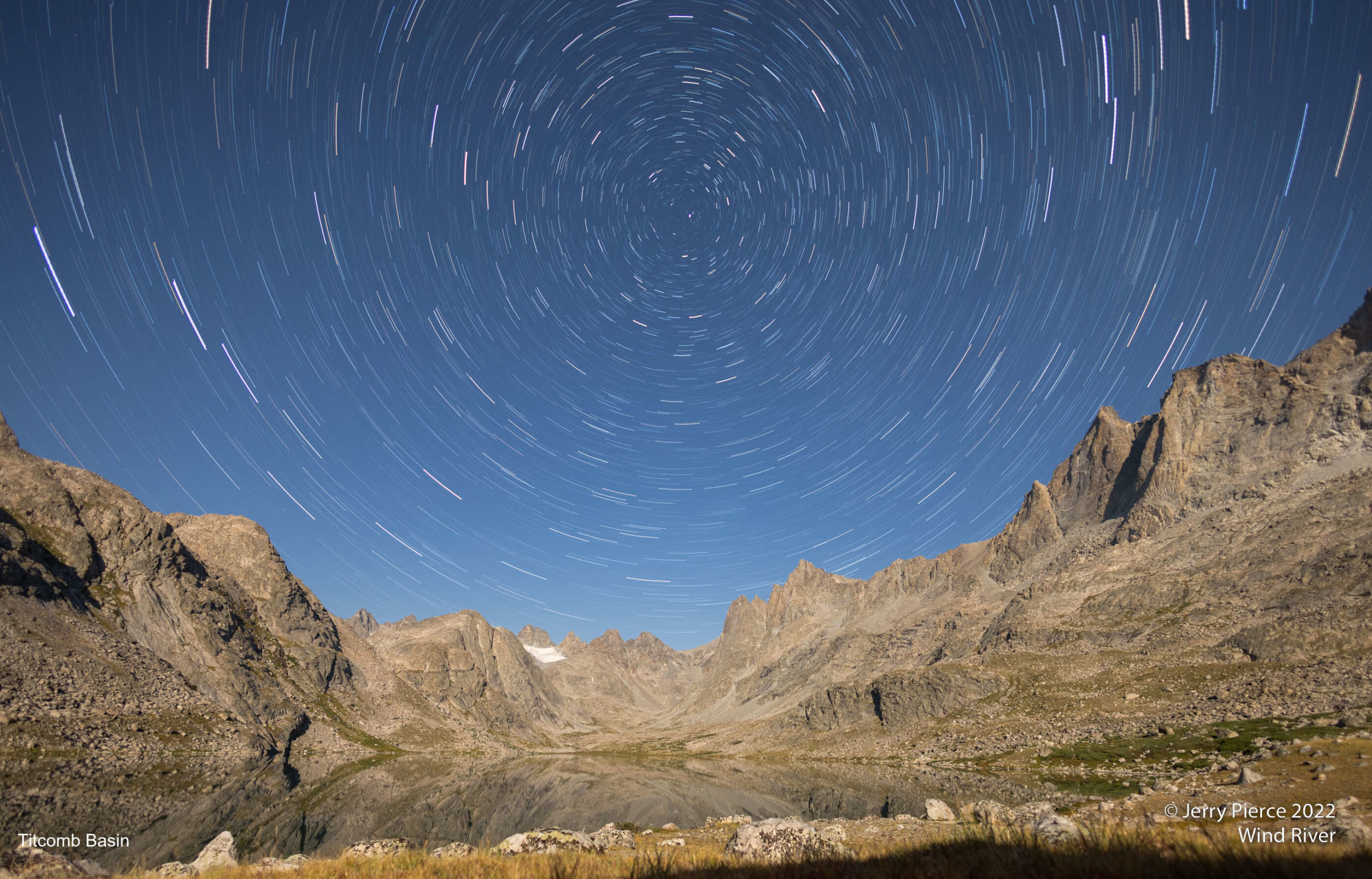
Being really lazy, I put a tripod outside my tent (on the ground) and didn’t get out of my sleeping bag. This was a set of 2 minute exposures over 30 minutes looking at Titcomb Basin with moonlight.
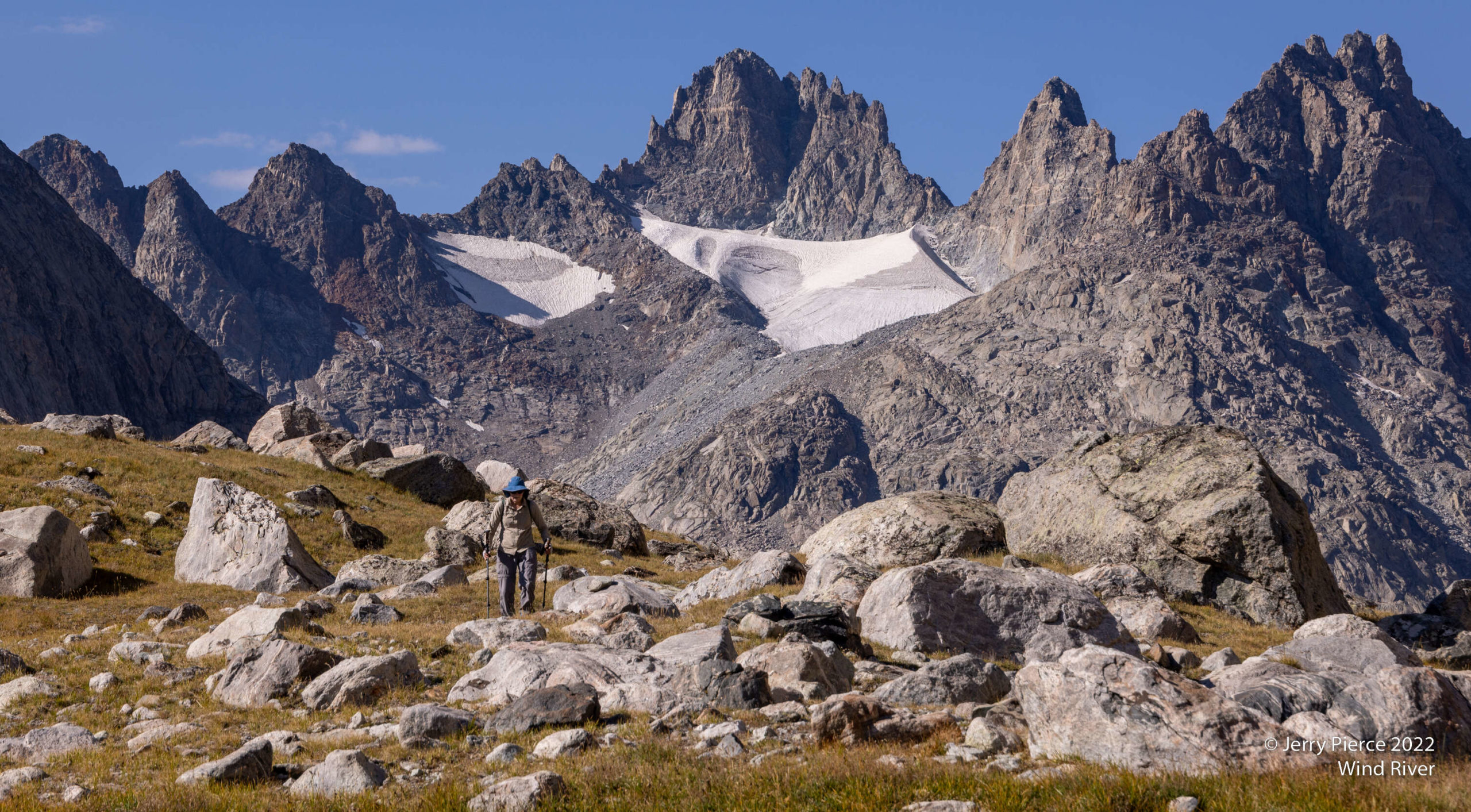
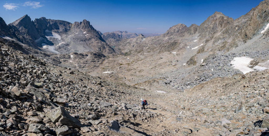
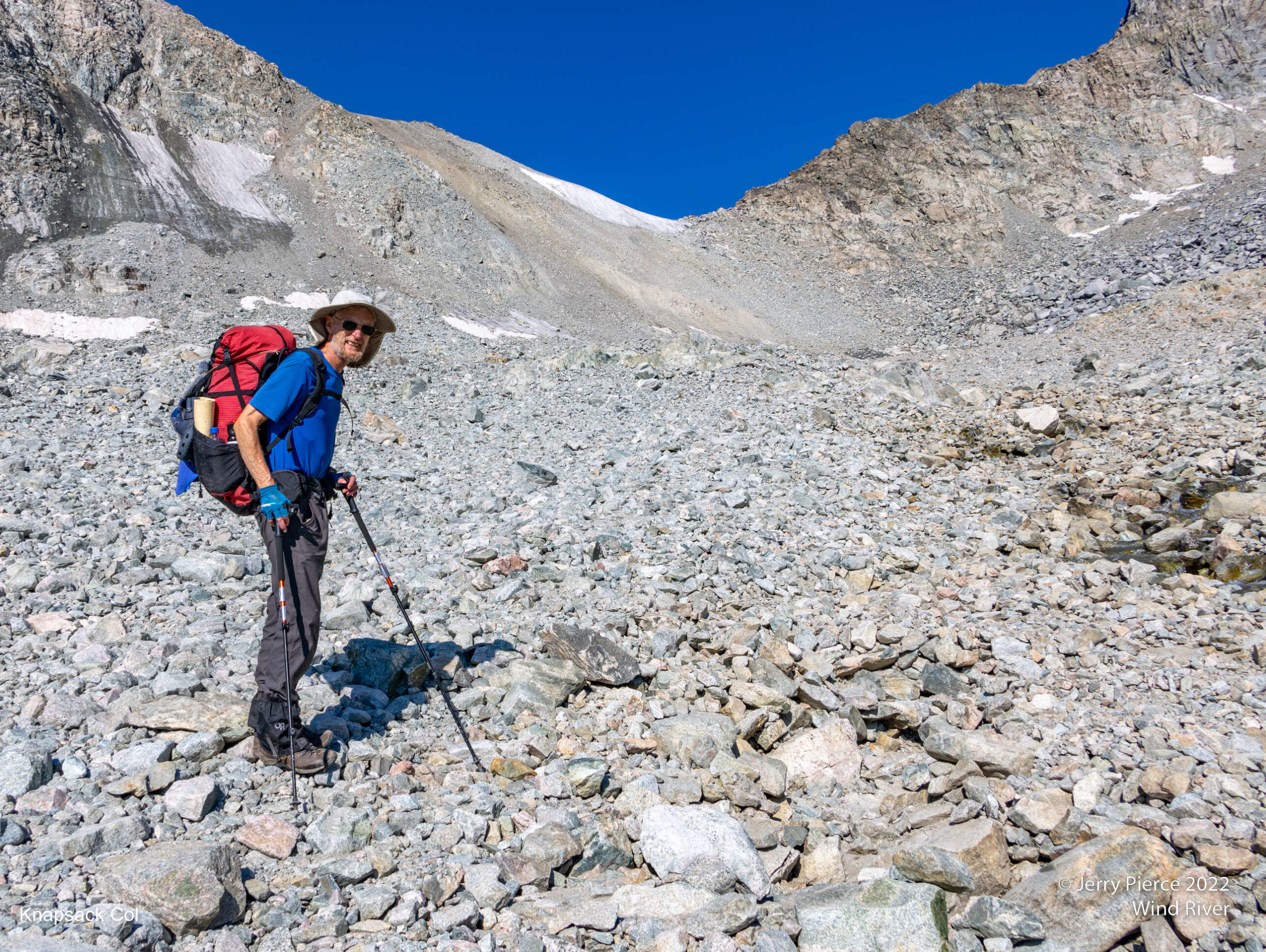
We had a report that there might be a storm headed our way, so we checked into our satellite friends and had a confirmation that there might be something coming. So far we were on schedule for plans, but we wanted to have the option to bail out if the weather got bad. As planned, we went up the basin to the end and over Knapsack Col
On the way to Knapsack Col – a class 2 pass.
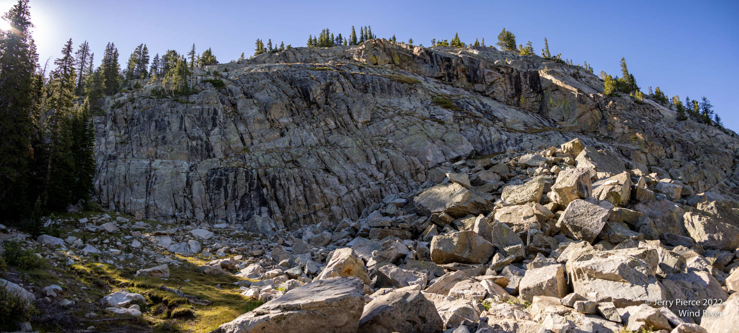
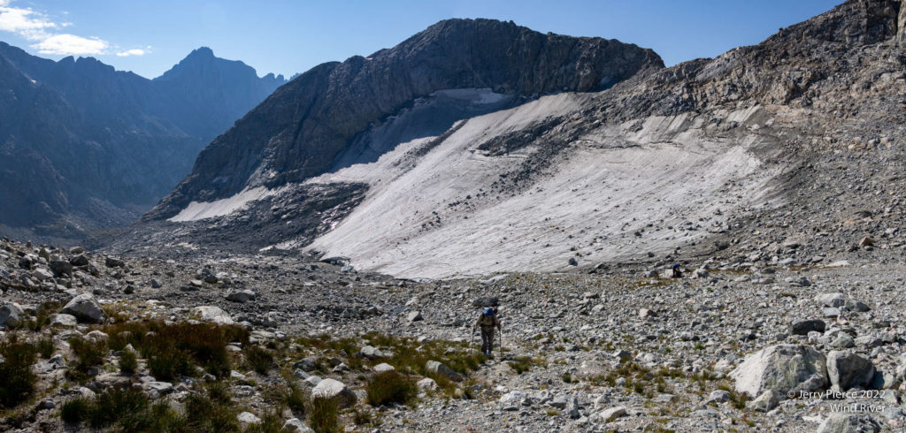
The approach to Knapsack Col was a bit stark with Twins Glacier along the way.
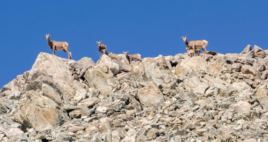
A number of family groups (with babies) just walked around the area. Very cool!
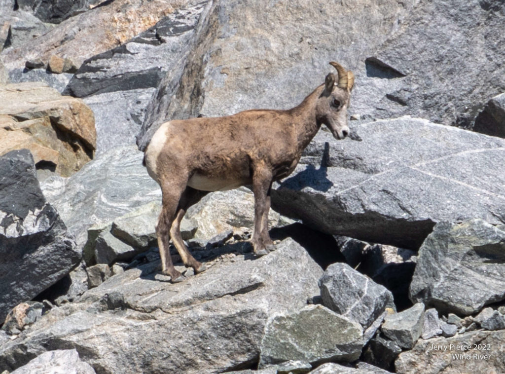
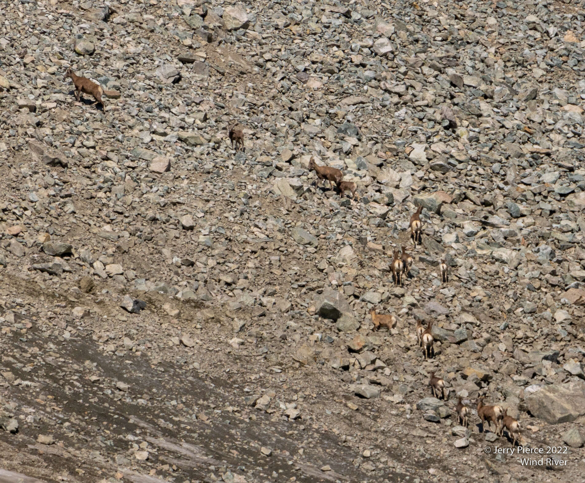
On the way to Knapsack Col – a class 2 pass. It was about at this point that Jerry saw some movement on the approach
And there was a herd of Rocky Mountain Bighorn Sheep. (We were told they might be Dall Sheep, but those are all white.)
From the pass looking back at the VERY steep ascent – Pat is almost to the top
Lunch on the Col – we could see the sheep on nearby peaks.
At the top
The other side was (again) very stark. We had planned to stop at a lake about half way down, but decided to go further in case of storms.
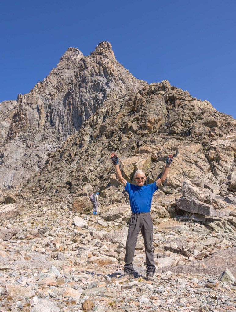
OK, time to show off…
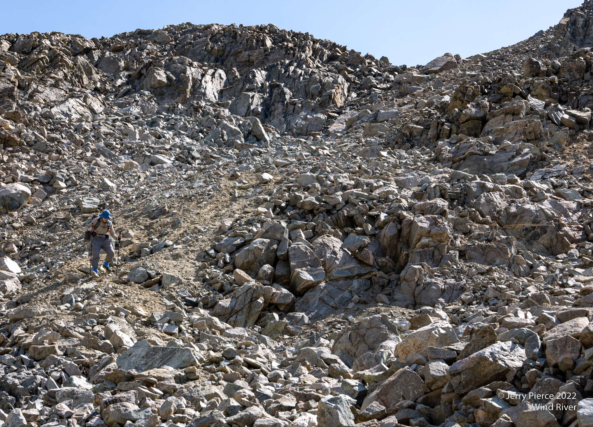
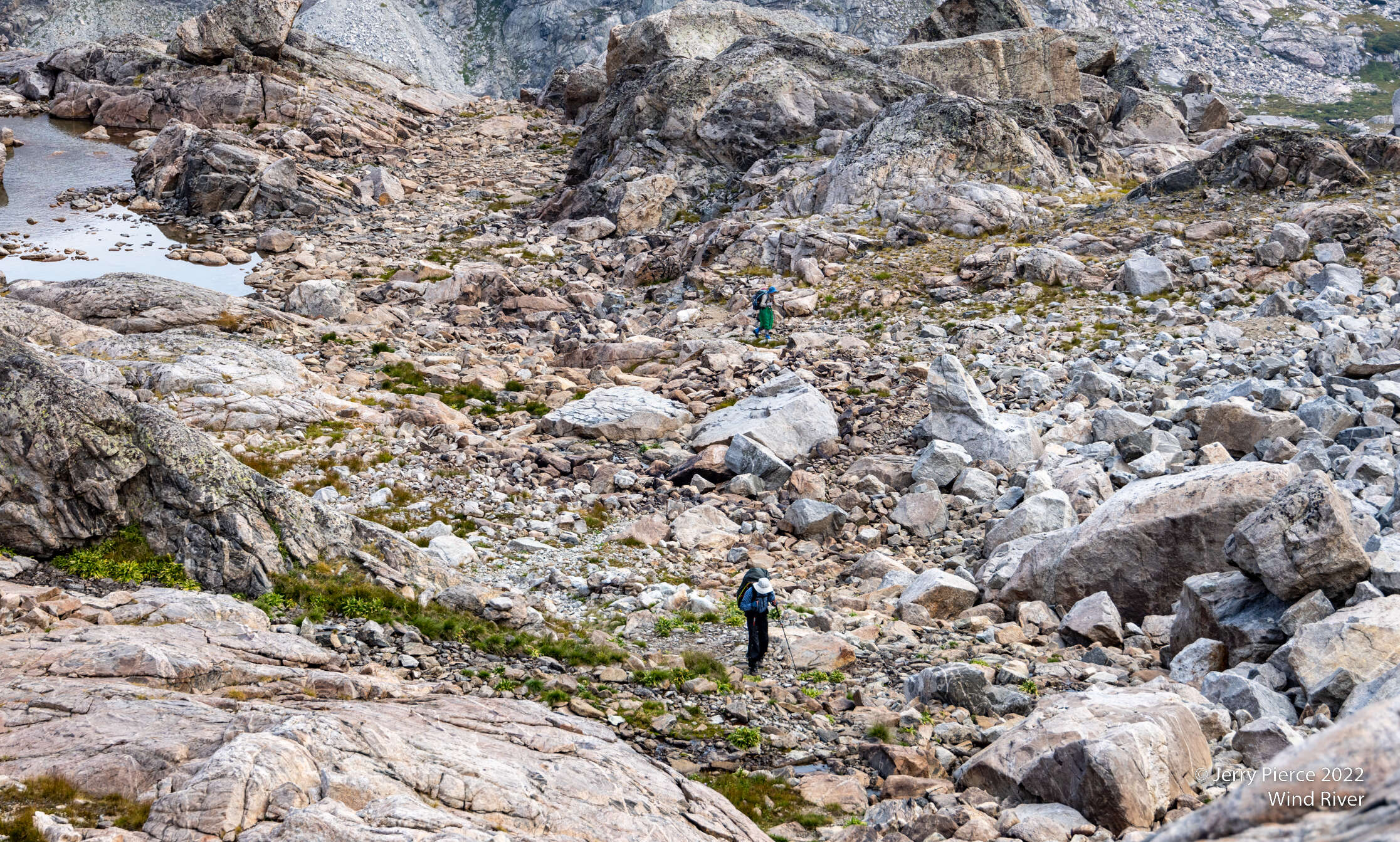
We were pleased we were going DOWN this side. While not as steep as the other side, it was loose gravel most of the way.
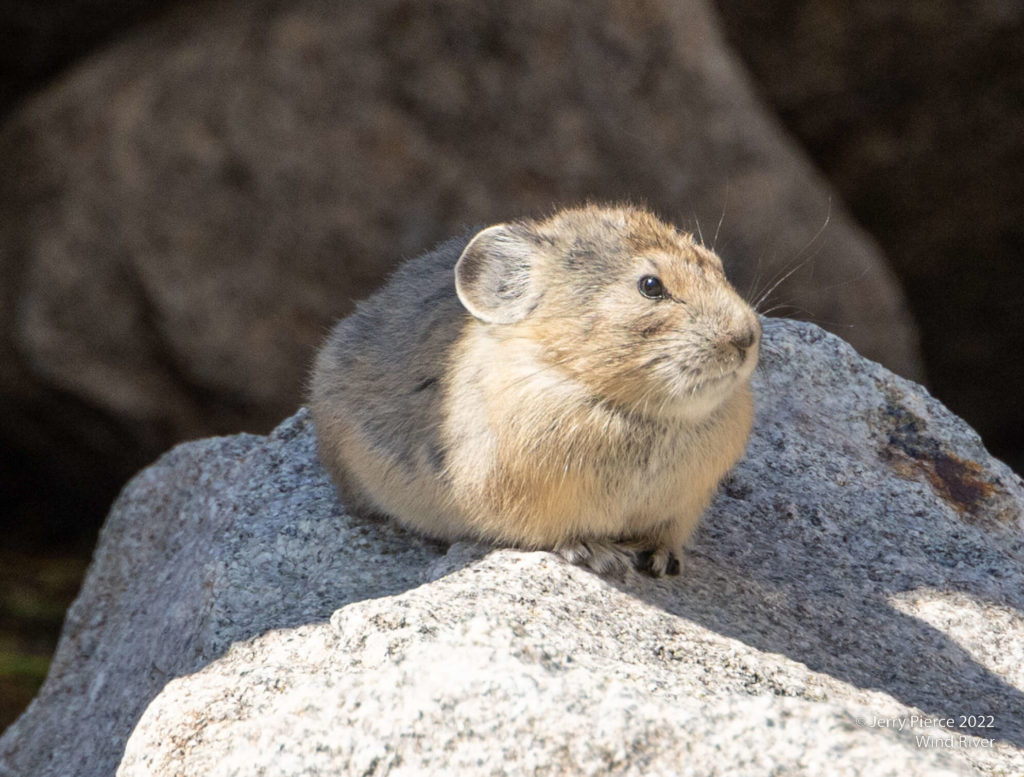
This Pika didn’t want us nearby. His food was being stored IN THE OPEN right behind him so he yelled at us and stayed out as we approached.
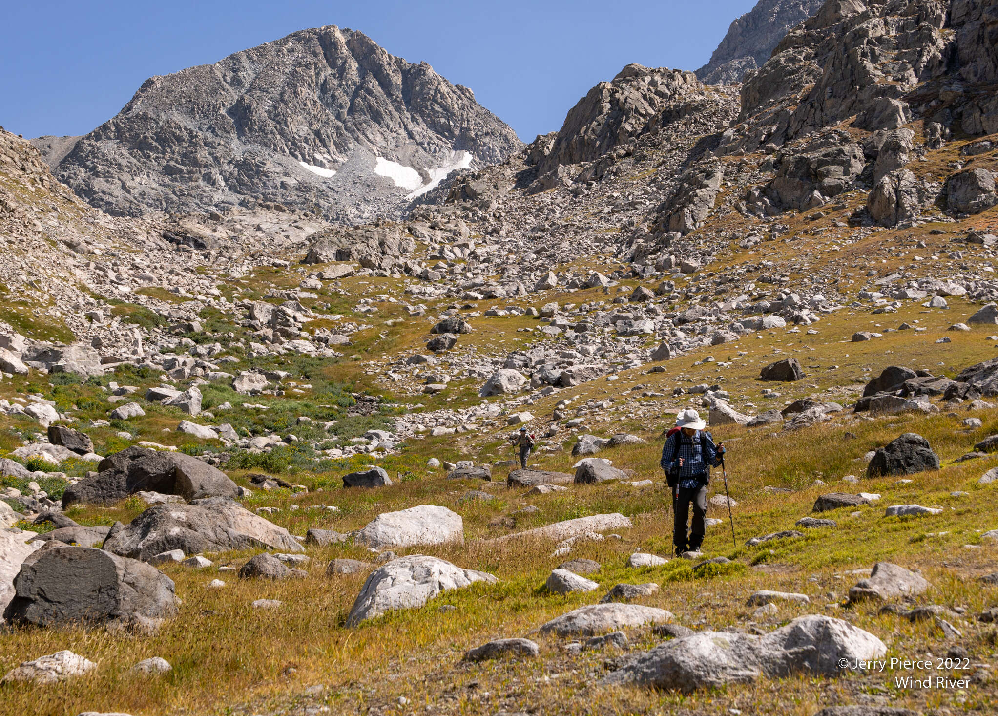
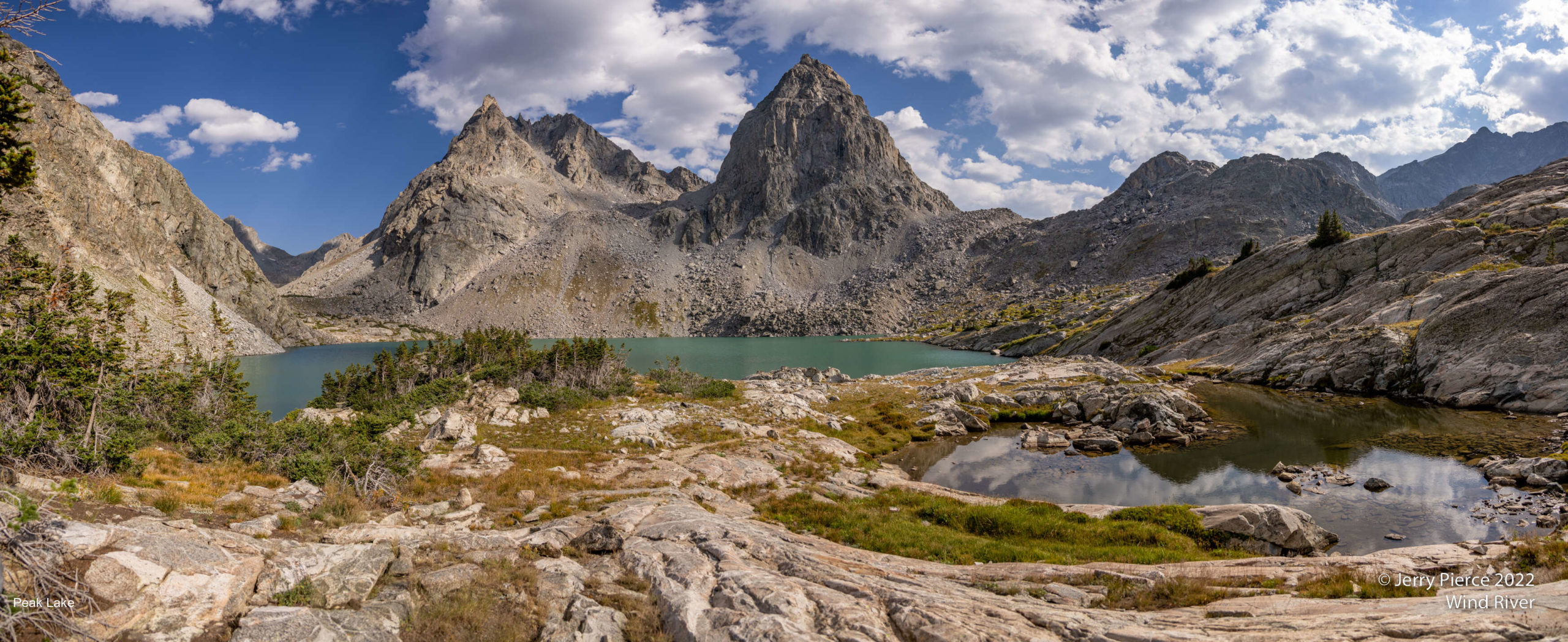
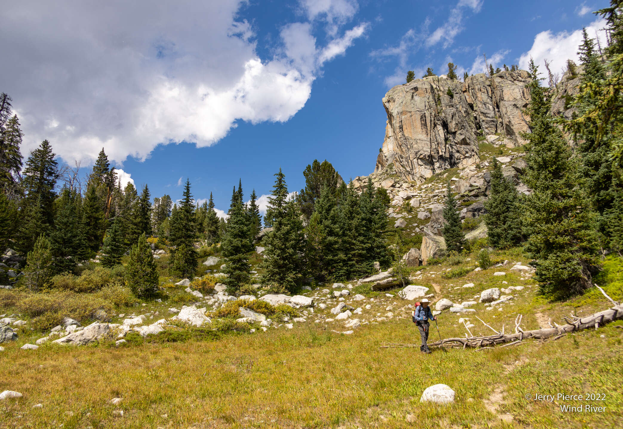
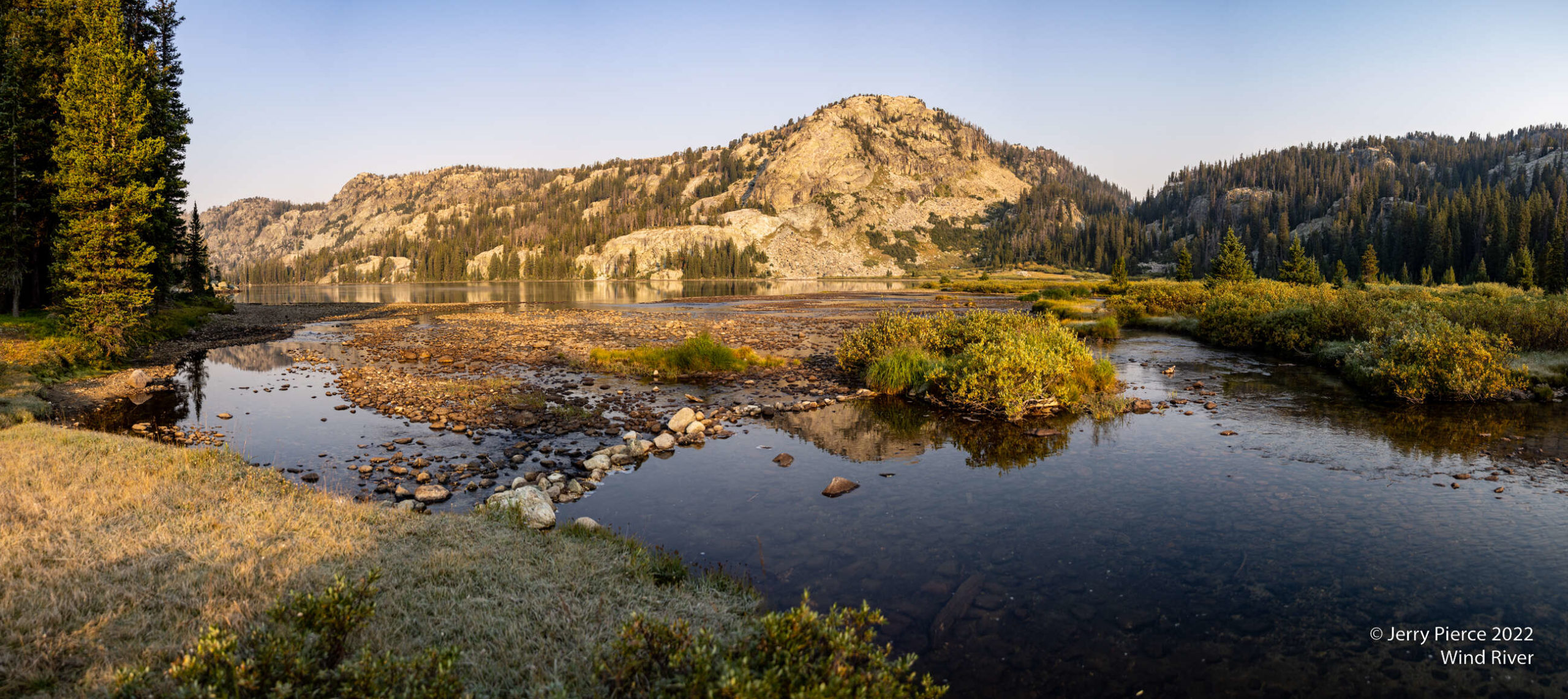
We continued down the valley to Peak Lake
The valley was easy walking and very pretty
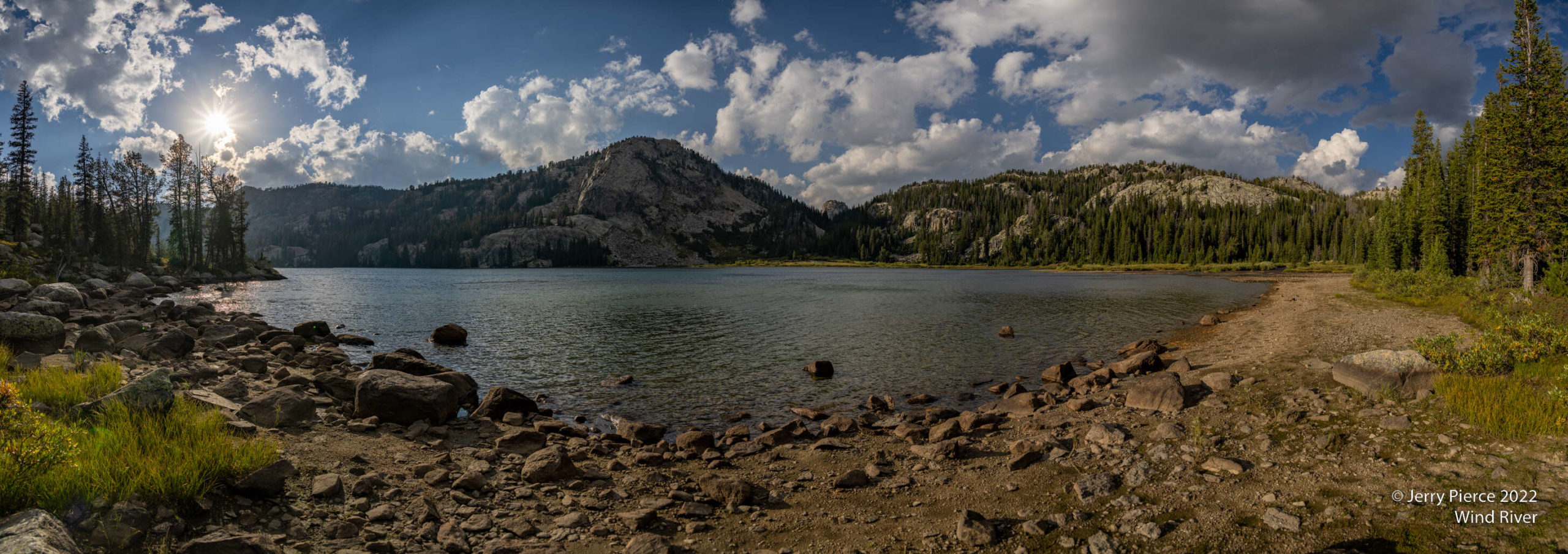
We found a delightful campsite in the trees next to Peak Lake. Really good to have the trees since the wind was really strong all night.
A view across the lake to a distant range
Peak Lake lived up to it’s name. The clouds began for form (better pictures), but a bit of a worry for a possible storm.
The next morning our hike started in a light rain. Not too serious, but enough to get our rain gear out
Looking back at Peak Lake on the hike out. Not as pretty without the sun
But soon the rain gear was gone and the sun came out
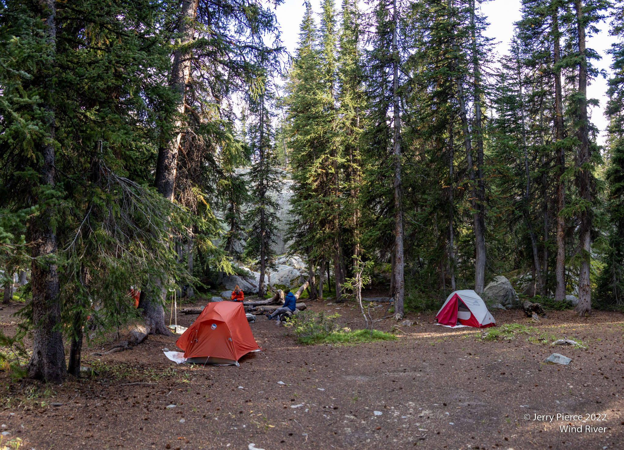
We went off trail and arrived at our last campsite – Lost Lake. We are within a day hike out so if the weather turned, we could make it. But it got cold, but not bad.
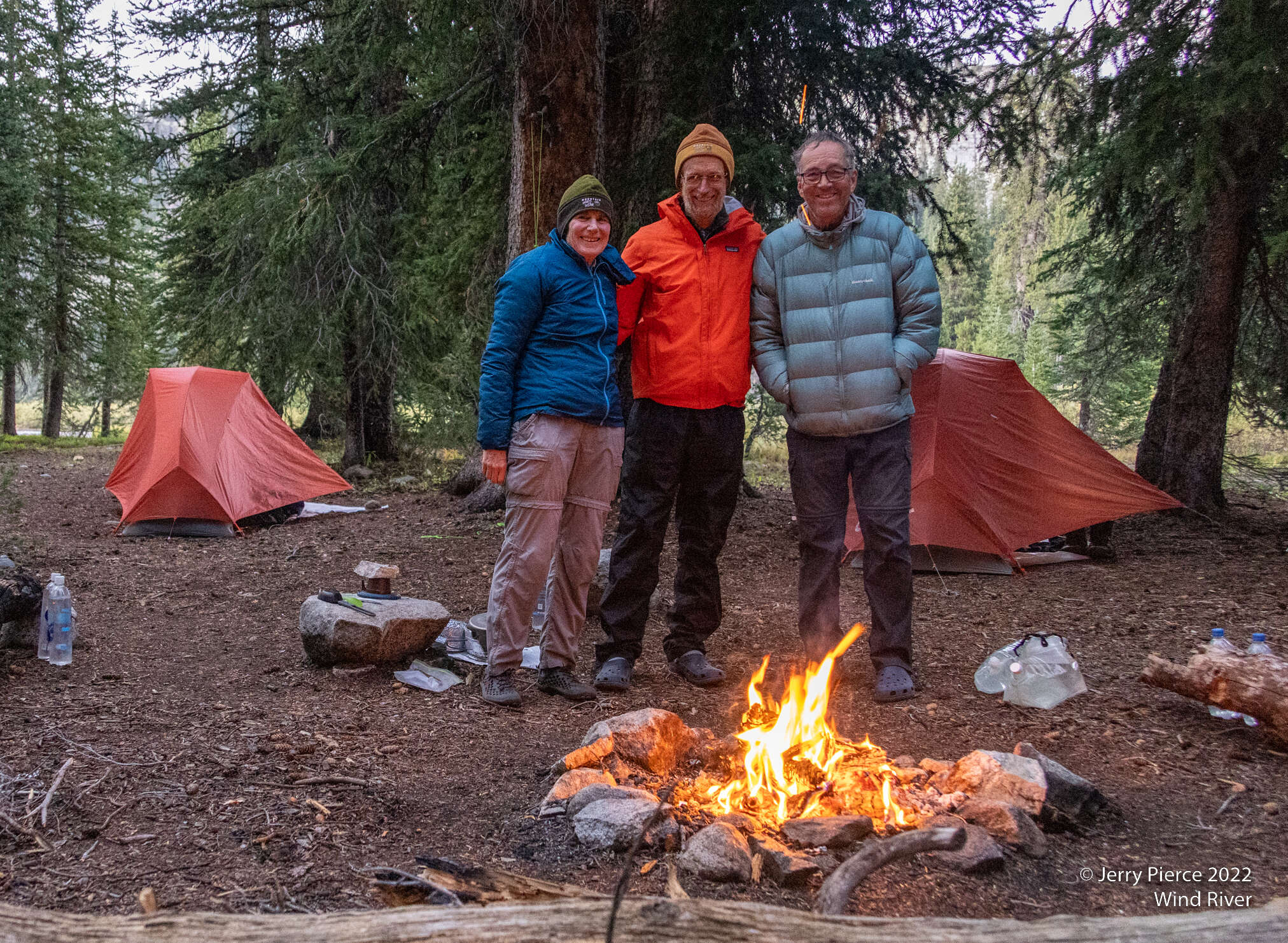
Campsite was made for 20, so we fit fine!
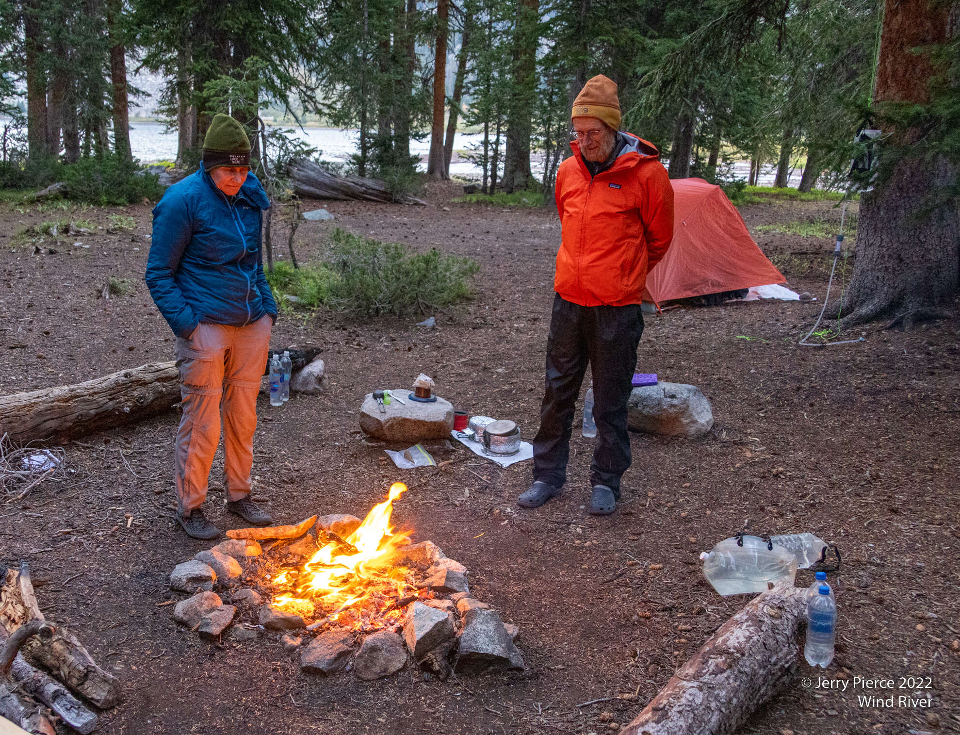
We packed up, then decided to do a day hike. Weather was fine so our tents were in a unusual condition of not having the sleeping bag out!
We are low enough and there was fuel for a fire!
Frost on the grass in the morning
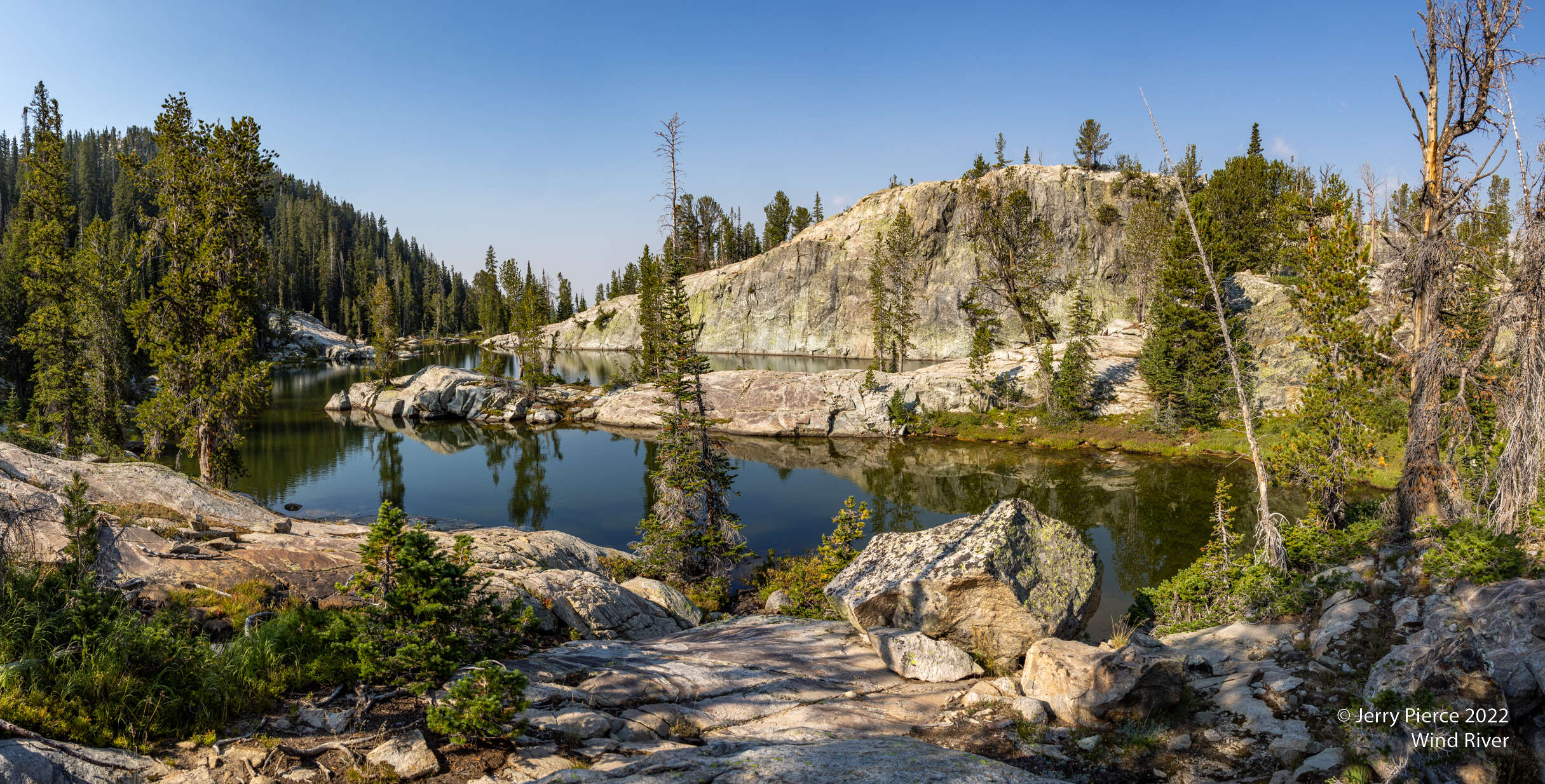
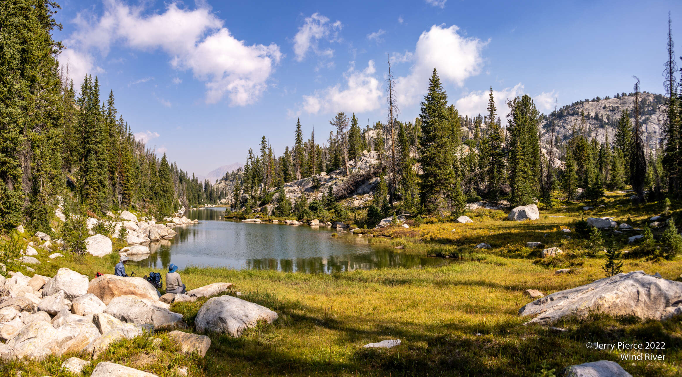
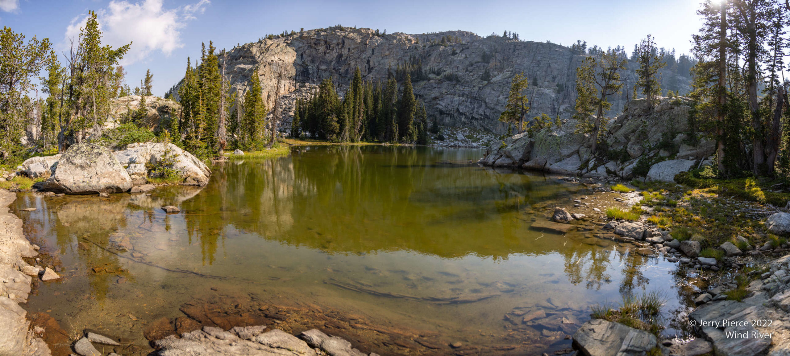
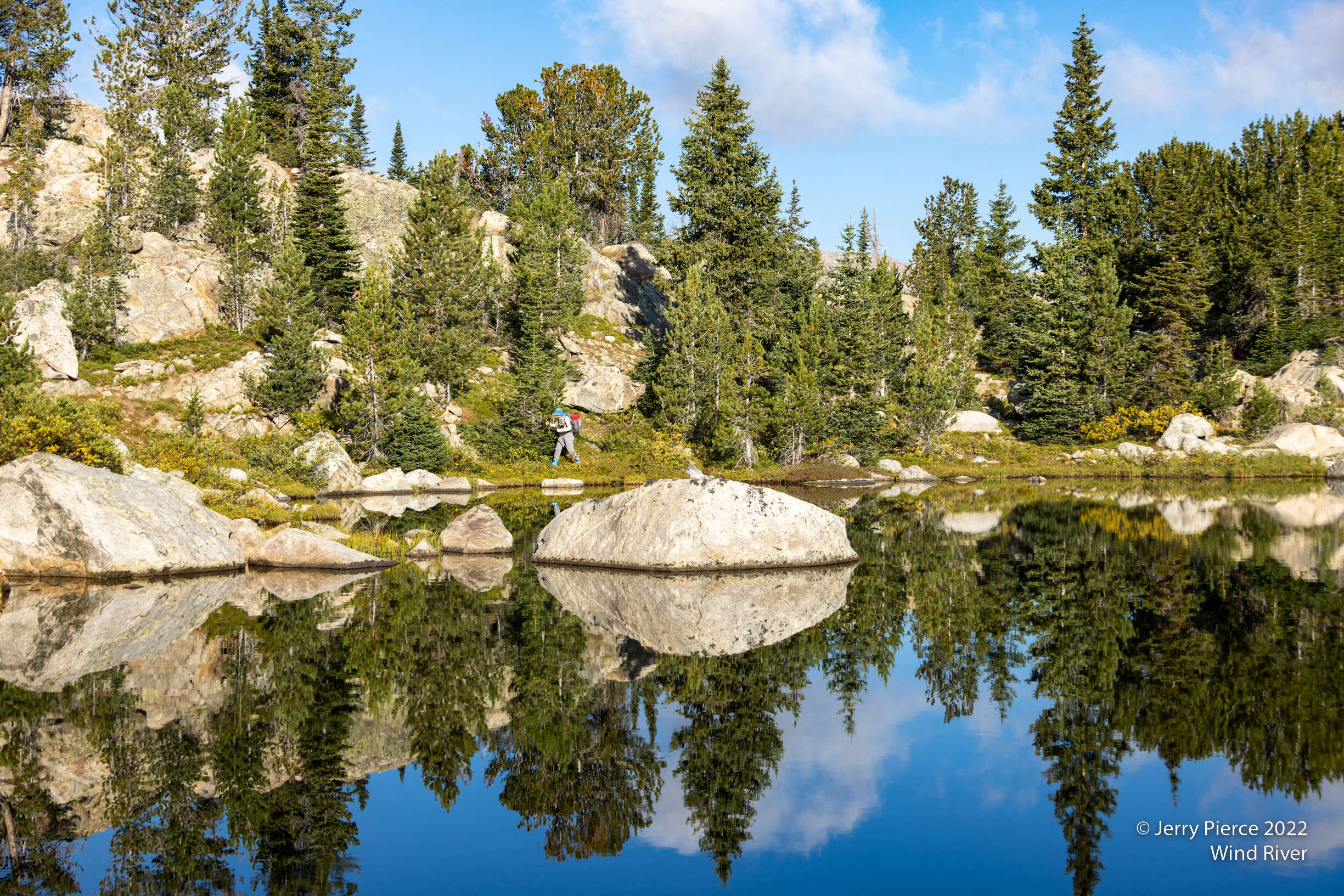
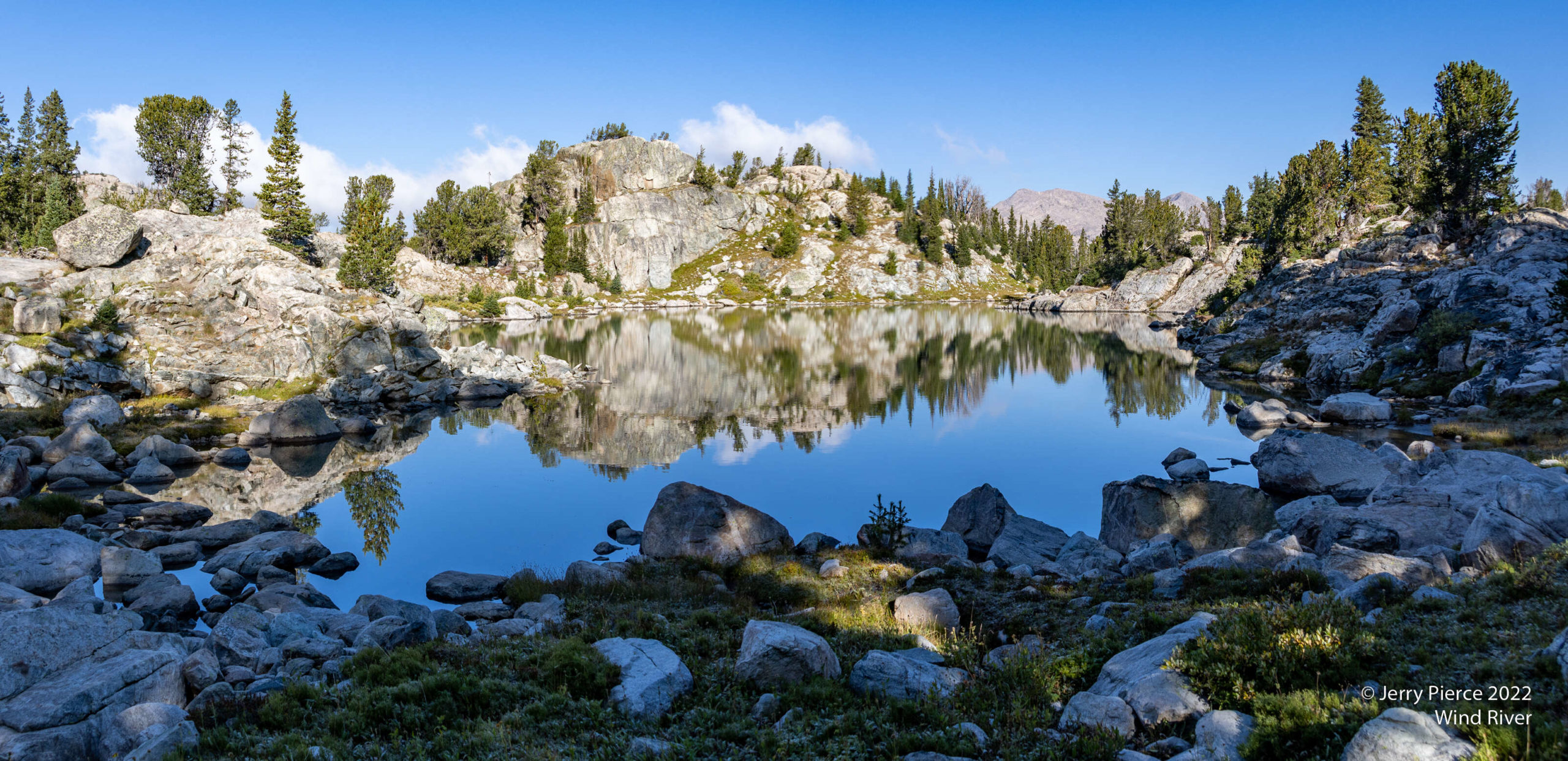
We decided to do a mostly off-trail loop to explore a section that was on the itinerary, but not one we wanted to do full pack. We went south and picked up the trail to Seneca lake to return on-trail.
Once again, a delightful day trek!
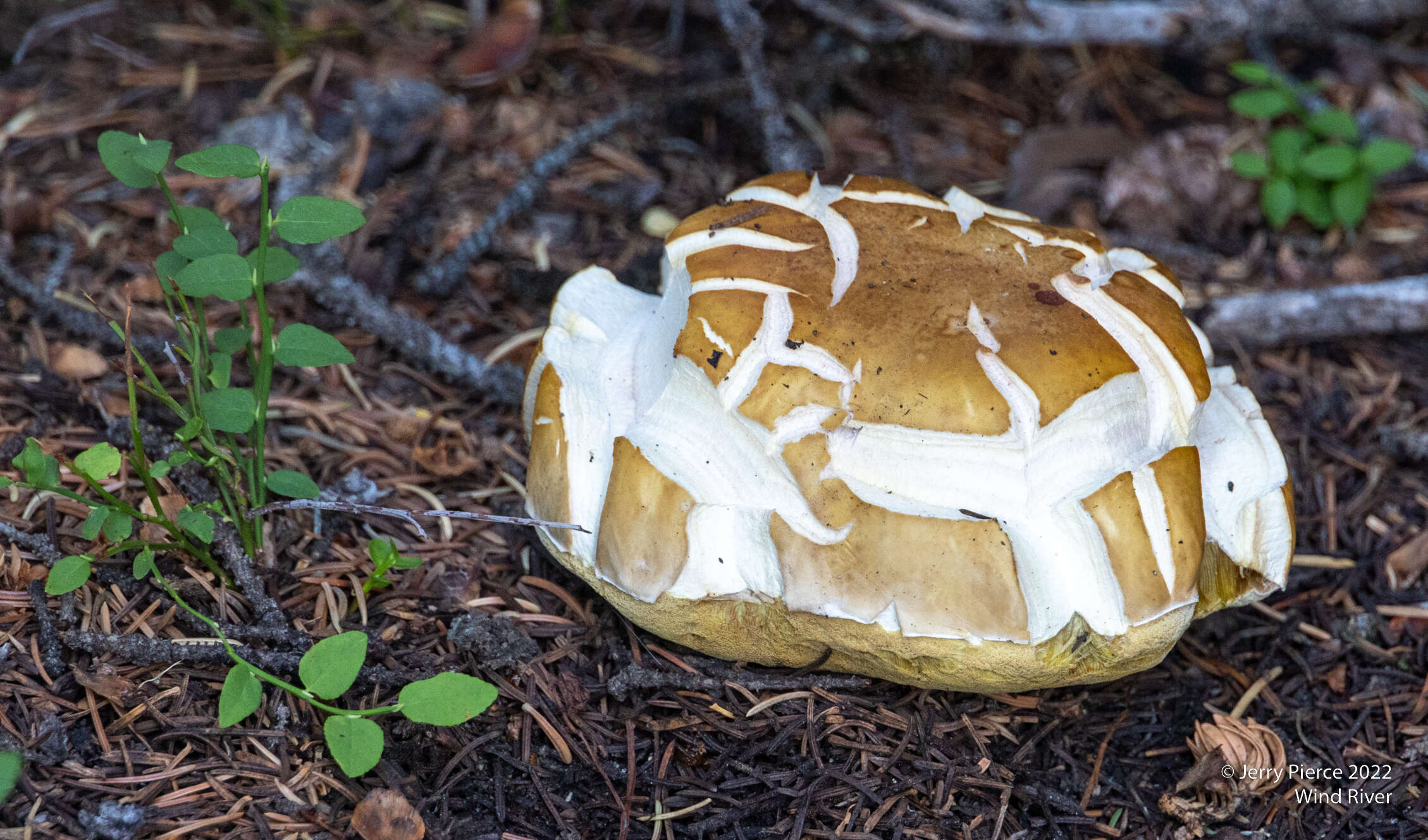
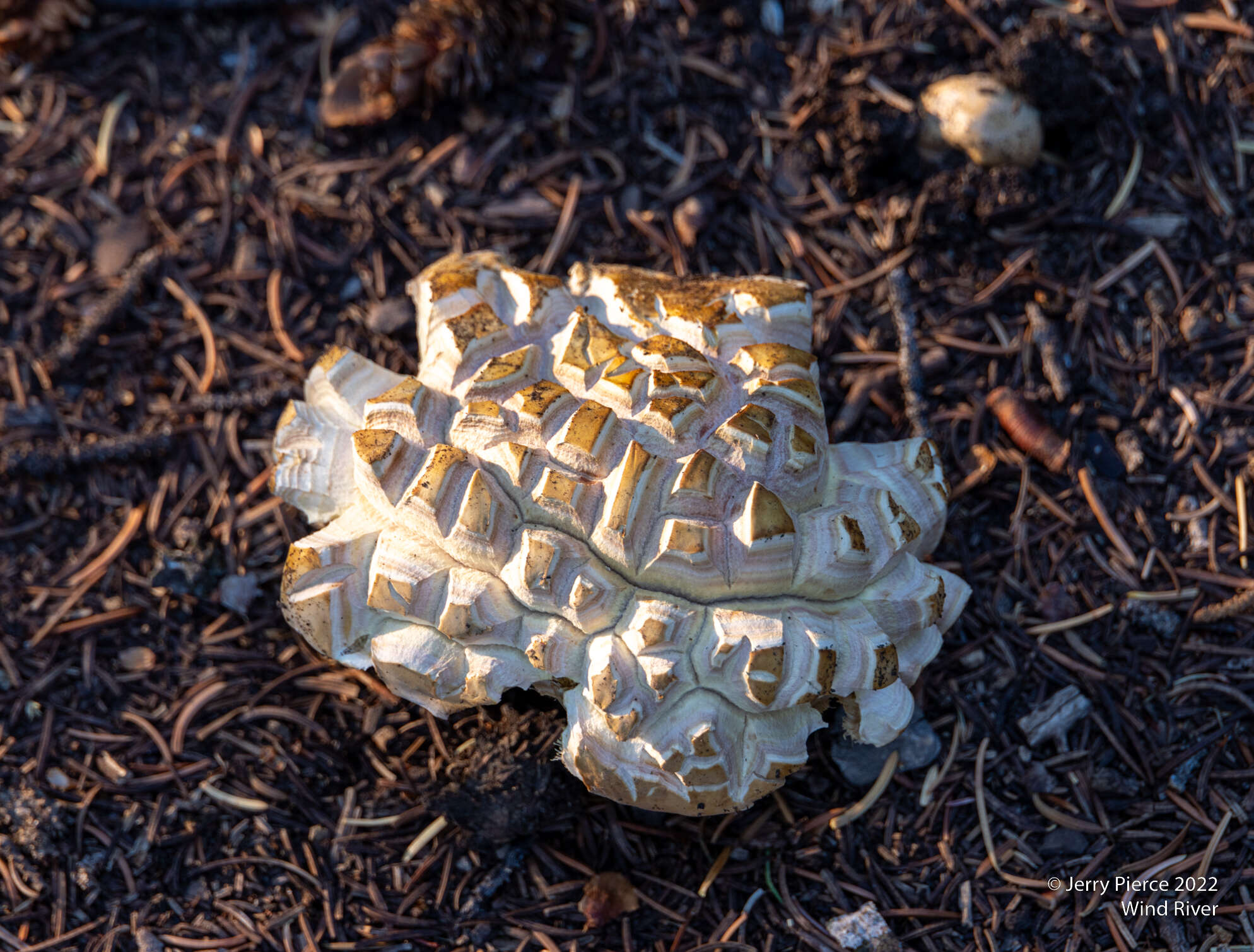
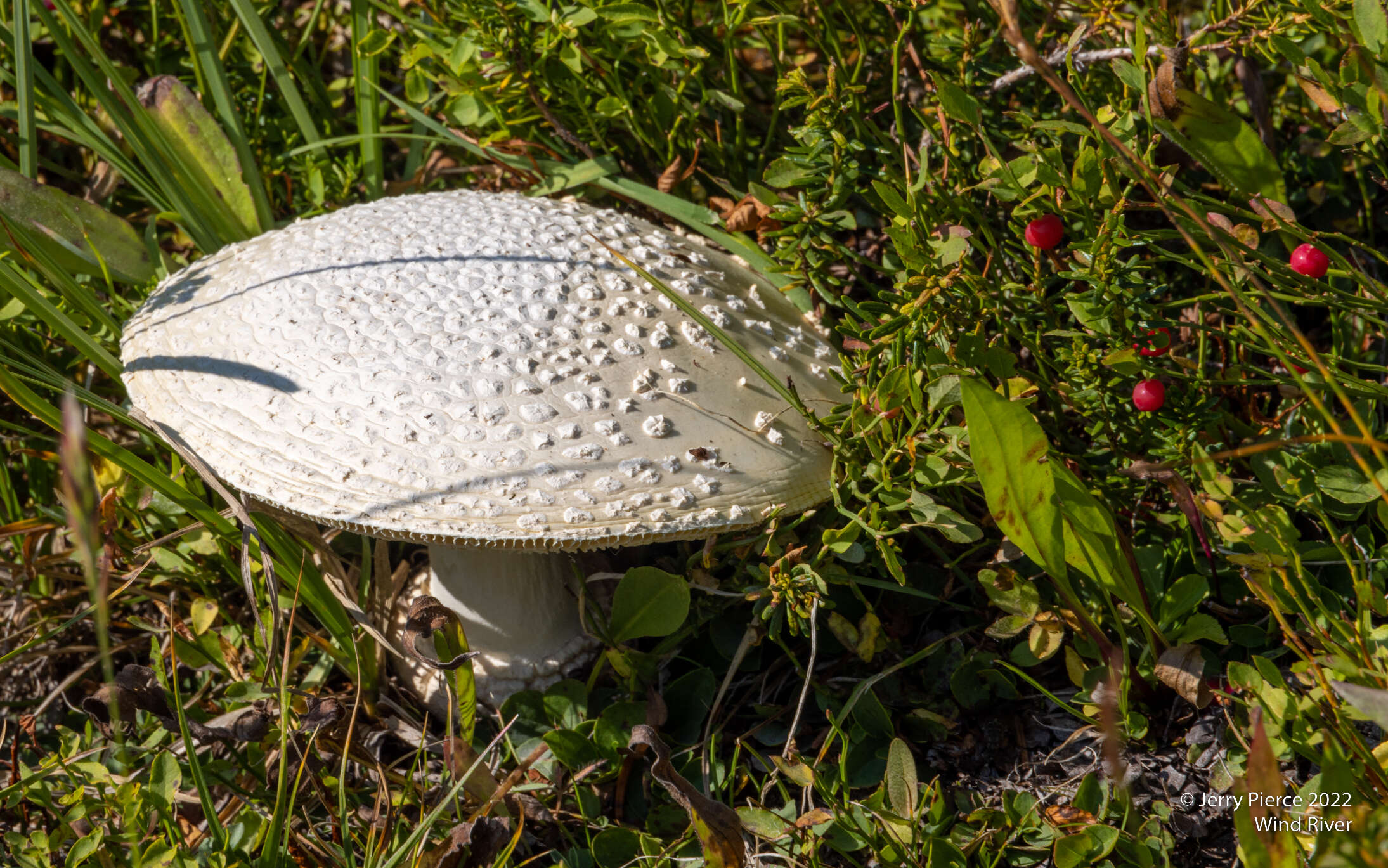
And the mushrooms! So many kinds and shapes.
And the hike out. Mostly down hill about 12 miles to our lonely car.
We hiked out of the Lost Lake basin to reach Seneca lake, then mostly downhill