On the Trail - Guide to tools that WORK while Hiking / Taking Pictures
I use an iPhone as my main information device. (I also use my Garmin Watch to track things).
Gaia GPS
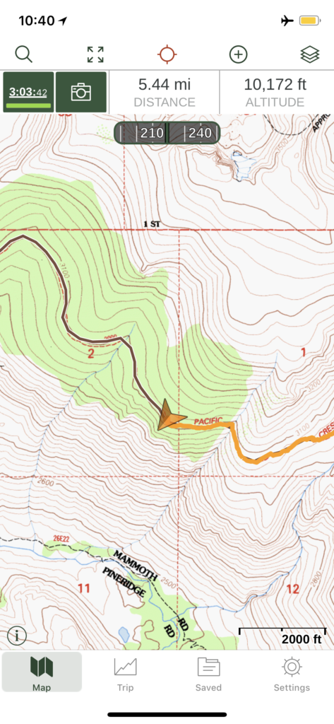
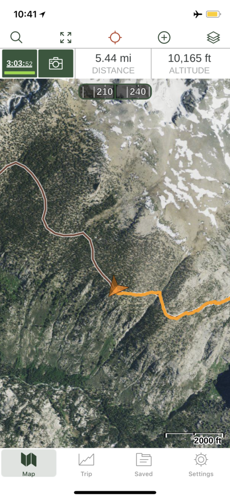
Navigation is extremely important and my iPhone is my tool of choice. Gaia is my go-to navigation App. By planning ahead you can download maps – like USGS, Open Hiking, Satellite, etc for use when off the grid. We have used the satellite images when trying to figure out a hard pass and how to get there… Older iPhones had marginal compasses, but the new ones are much better – probably for the AR features. The GPS is really good as well. I still bring a separate compass as a more reliable tool.
I do record a GPS track of all my hikes. I like to see where we went.
Off grid access to many maps: USGS, Satellite, Can make real-time decisions on route (Recording of tracks my obsession)
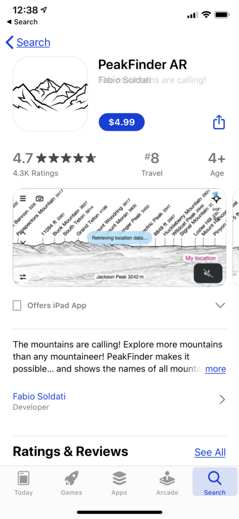
Peak Finder
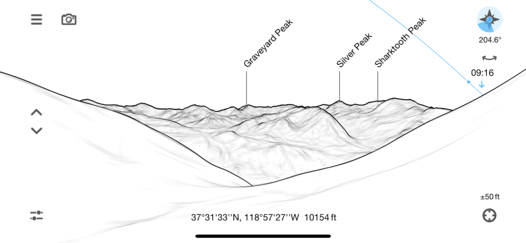
One fun question you almost always have while hiking is “what is that mountain?” You can look at a topo map, but the easy way these days is to use an app called “PeakFinder” which lets you match what you see to what a computer thinks you should see. It’s not always perfect, but it is a quick and dirty way of identification. And to tell you where and what time the sun and moon will rise and set.
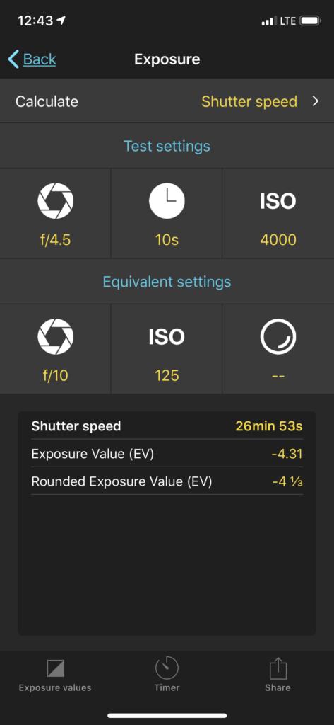
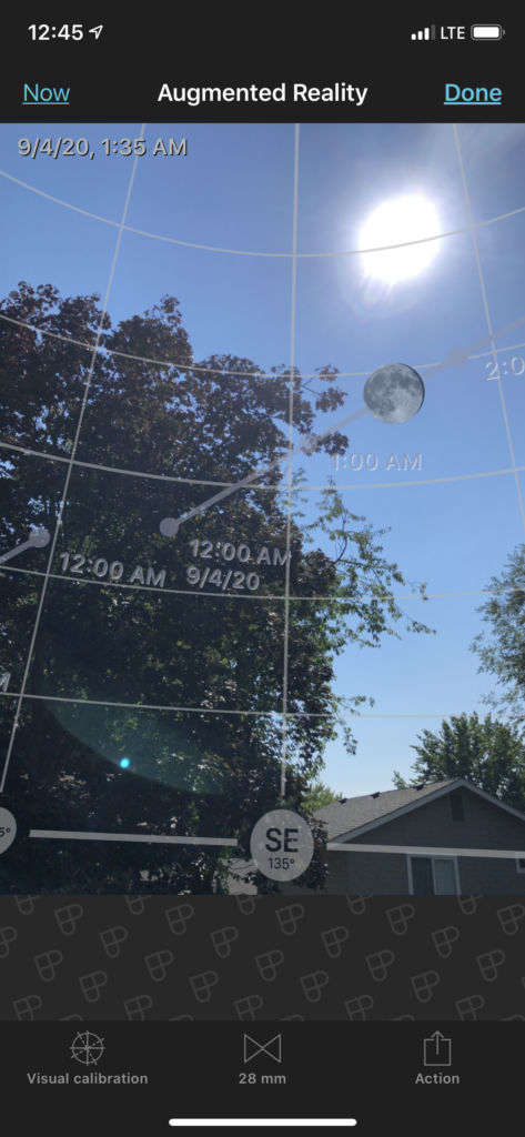
Photo Pills
Photo Pills is one of the great tools to get information for taking pictures. Photos are all about the sun/moon/stars. The set of tools are really wonderful to help understand WHERE the sun is going to come up (or the moon).
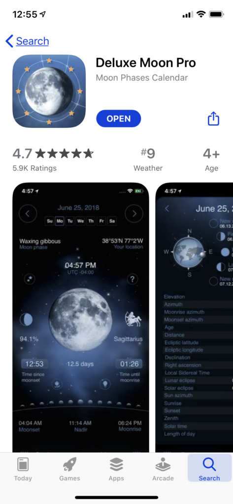
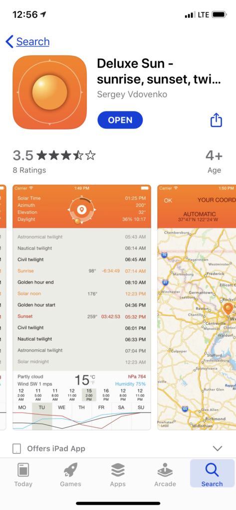
Deluxe Moon / Deluxe Sun
While PhotoPills does a great job of giving a rough estimate of where the sun/moon will be, there are times that you need REALLY accurate location – Deluxe Moon / Sun does the job with a reading of Moonrise azimuth or Sun azimuth … these do it. OR you can use PeakFinder to see where it will be on the horizon…
Locating the EXACT place of moonrise can be very important!